12902 Lovass Rd Anderson Island, WA 98303
Estimated Value: $399,000 - $529,000
3
Beds
3
Baths
1,820
Sq Ft
$264/Sq Ft
Est. Value
About This Home
This home is located at 12902 Lovass Rd, Anderson Island, WA 98303 and is currently estimated at $480,356, approximately $263 per square foot. 12902 Lovass Rd is a home located in Pierce County with nearby schools including Anderson Island Elementary School, Pioneer Middle School, and Steilacoom High School.
Ownership History
Date
Name
Owned For
Owner Type
Purchase Details
Closed on
Sep 20, 2023
Sold by
Anderson Dream Homes Llc
Bought by
Wizzle Llc
Current Estimated Value
Purchase Details
Closed on
Nov 14, 2022
Sold by
Next Dream Investments Llc
Bought by
Anderson Dream Homes Llc
Purchase Details
Closed on
Feb 10, 2021
Sold by
Cuda Paula J
Bought by
Next Dream Investments Llc
Purchase Details
Closed on
Mar 31, 1976
Sold by
Cuda M Eduardo M and Cuda Paula J
Bought by
Cuda M Eduardo M and Cuda Paula J
Create a Home Valuation Report for This Property
The Home Valuation Report is an in-depth analysis detailing your home's value as well as a comparison with similar homes in the area
Home Values in the Area
Average Home Value in this Area
Purchase History
| Date | Buyer | Sale Price | Title Company |
|---|---|---|---|
| Wizzle Llc | -- | None Listed On Document | |
| Anderson Dream Homes Llc | $30,000 | -- | |
| Next Dream Investments Llc | $5,000 | First American Title | |
| Cuda M Eduardo M | -- | First American Title |
Source: Public Records
Tax History Compared to Growth
Tax History
| Year | Tax Paid | Tax Assessment Tax Assessment Total Assessment is a certain percentage of the fair market value that is determined by local assessors to be the total taxable value of land and additions on the property. | Land | Improvement |
|---|---|---|---|---|
| 2025 | $150 | $12,500 | $12,500 | -- |
| 2024 | $150 | $13,600 | $13,600 | -- |
| 2023 | $150 | $13,600 | $13,600 | $0 |
| 2022 | $88 | $12,900 | $12,900 | $0 |
| 2021 | $70 | $4,800 | $4,800 | $0 |
| 2019 | $56 | $3,900 | $3,900 | $0 |
| 2018 | $48 | $3,700 | $3,700 | $0 |
| 2017 | $48 | $2,800 | $2,800 | $0 |
| 2016 | $60 | $3,200 | $3,200 | $0 |
| 2014 | $38 | $3,800 | $3,800 | $0 |
| 2013 | $38 | $4,300 | $4,300 | $0 |
Source: Public Records
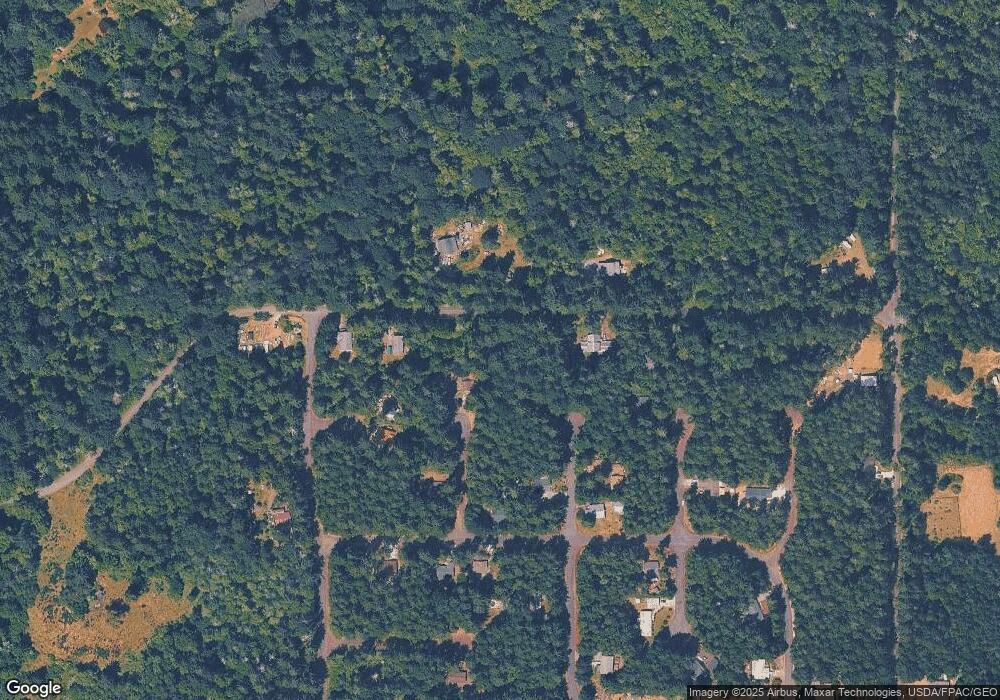
Map
Nearby Homes
- 12611 Silver Dr
- 8811 127th Avenue Ct
- 8912 126th Avenue Ct
- 12606 Silver Dr
- 9118 130th Avenue Ct
- 9310 123rd Ave
- 12727 96th Street Ct
- 12726 96th Street Ct
- 12123 Sunset Place
- 8615 Eckenstam Johnson Rd
- 9223 Kootenai Dr
- 10115 Edgewood Dr
- 10213 Edgewood Dr
- 9705 117th Ave
- 11316 Breaker Way
- 8510 112th Ave
- 10412 Edgewood Dr
- 8406 112th Ave
- 10611 Vantage Dr
- 10602 Vantage Dr
- 12820 Lovass Rd
- 12906 Lovass Rd
- 8814 Johnson Rd Unit AI
- 12808 Lovass Rd Unit AI
- 8809 Johnson Rd
- 8814 129th Avenue Ct
- 8818 Johnson Rd
- 8821 129th Avenue Ct Unit AI
- 8813 Johnson Rd
- 12804 Lovass Rd
- 12918 Lovass Rd
- 8818 129th Avenue Ct
- 8818 129th Av Ct
- 12914 Lovass Rd
- 8812 127th Avenue Ct
- 12901 Lovass Rd Unit AI
- 13008 Lovass Rd
- 8916 Johnson Rd Unit AI
- 8816 127th Avenue Ct
- 9019 129th Avenue Ct