12902 Morningside Dr Merrifield, MN 56465
Estimated Value: $150,000 - $363,000
3
Beds
2
Baths
264
Sq Ft
$976/Sq Ft
Est. Value
About This Home
This home is located at 12902 Morningside Dr, Merrifield, MN 56465 and is currently estimated at $257,694, approximately $976 per square foot. 12902 Morningside Dr is a home located in Crow Wing County with nearby schools including Cuyuna Range Elementary School and Crosby-Ironton Secondary School.
Ownership History
Date
Name
Owned For
Owner Type
Purchase Details
Closed on
Jul 16, 2025
Sold by
County Of Crow Wing
Bought by
Weinberg Patrick and Weinberg Susan Mary
Current Estimated Value
Purchase Details
Closed on
Jul 11, 2025
Sold by
Fredrickson Richard and Fredrickson Ricky
Bought by
Weinberg Patrick and Weinberg Susan Mary
Purchase Details
Closed on
Jul 27, 2020
Sold by
Meyer Michael P and Meyer Doris J
Bought by
Fredrickson Richard
Create a Home Valuation Report for This Property
The Home Valuation Report is an in-depth analysis detailing your home's value as well as a comparison with similar homes in the area
Purchase History
| Date | Buyer | Sale Price | Title Company |
|---|---|---|---|
| Weinberg Patrick | -- | -- | |
| Weinberg Patrick | $235,000 | Lawyers Title Services | |
| Fredrickson Richard | $169,000 | Lakes Area Title |
Source: Public Records
Tax History
| Year | Tax Paid | Tax Assessment Tax Assessment Total Assessment is a certain percentage of the fair market value that is determined by local assessors to be the total taxable value of land and additions on the property. | Land | Improvement |
|---|---|---|---|---|
| 2025 | $654 | $138,500 | $134,500 | $4,000 |
| 2024 | $654 | $137,000 | $133,800 | $3,200 |
| 2023 | $594 | $133,900 | $127,100 | $6,800 |
| 2022 | $686 | $111,800 | $104,400 | $7,400 |
| 2021 | $682 | $101,900 | $95,600 | $6,300 |
| 2020 | $734 | $99,200 | $92,900 | $6,300 |
| 2019 | $446 | $98,300 | $91,800 | $6,500 |
| 2018 | $434 | $60,100 | $54,300 | $5,800 |
| 2017 | $426 | $59,300 | $53,700 | $5,600 |
| 2016 | $406 | $53,500 | $47,900 | $5,600 |
| 2015 | $408 | $53,100 | $47,500 | $5,600 |
| 2014 | $206 | $53,100 | $47,500 | $5,600 |
Source: Public Records
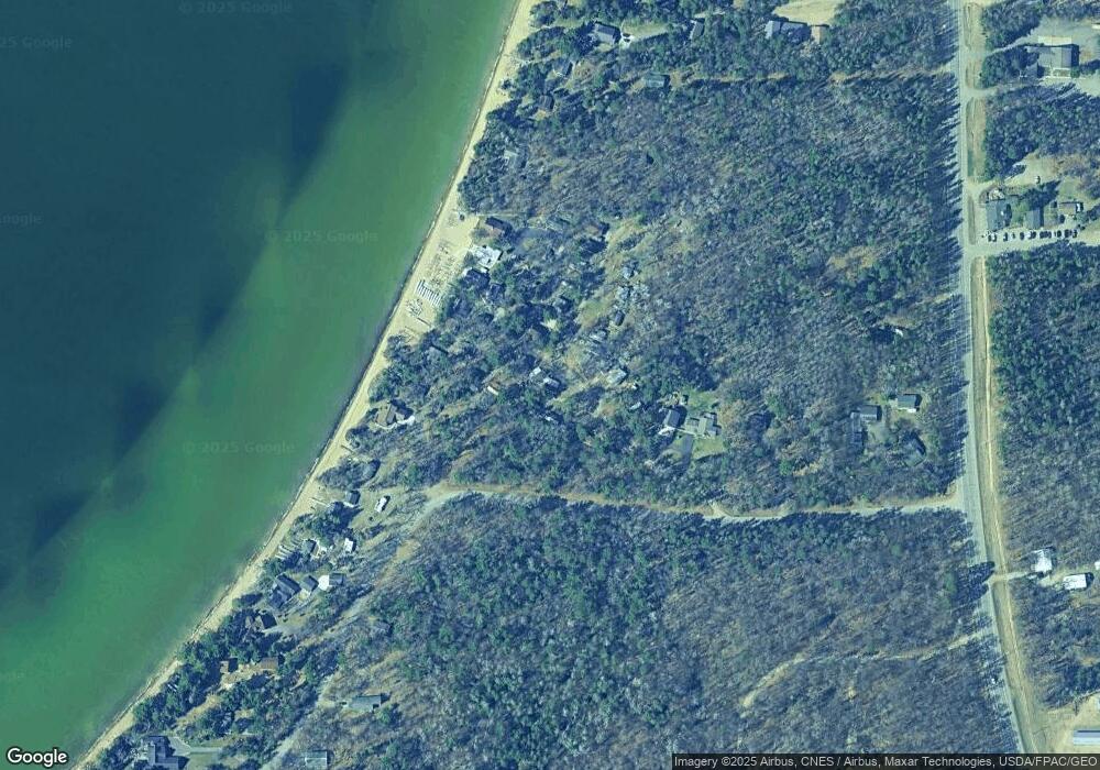
Map
Nearby Homes
- 29741 County Road 3
- Parcel F SW Horseshoe Lake Rd
- 13084 Mission Park Dr
- TBD Mission Park Dr
- 13908 Mission Park Dr
- TBD Lakeview Ln
- 12553 N Pelican Ln
- Lot A Sandbar Ln
- Lot B Sandbar Ln
- Lot H Sandbar Ln
- Lot D Sandbar Ln
- Lot J Sandbar Ln
- 31693 Stewarts Bay Dr
- 26905 Pelican Beach Rd
- 26868 Pelican Beach Rd
- 31969 Stewarts Bay Dr
- 11939 County Road 118
- TBD Cr-109
- 27181 Ridgewood Dr
- TBD W Cree Bay Cir
- 12902 Morningside Dr
- 12902 Morningside Dr
- 12902 Morningside Dr
- 12902 Morningside Dr
- 12902 Morningside Dr
- 12902 Morningside Dr
- 12902 Morningside Dr
- 12902 Morningside Dr
- 12902 Morningside Dr
- 12902 Morningside Dr
- 12902 Morningside Dr
- 12902 Morningside Dr
- 12902 Morningside Dr
- 12902 Morningside Dr
- 12902 Morningside Dr
- 12902 Morningside Dr
- 12902 Morningside Dr
- 12902 Morningside Dr
- 12902 Morningside Dr
- 12902 Morningside Dr
Your Personal Tour Guide
Ask me questions while you tour the home.