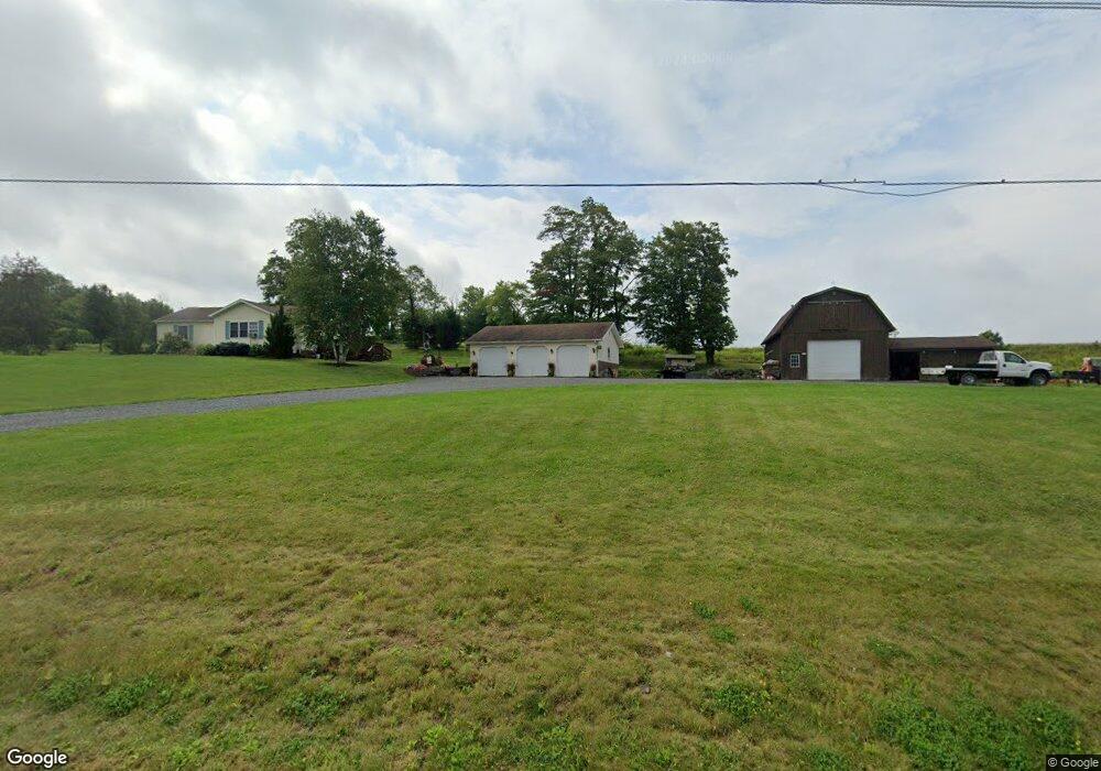
12904 Route 414 Roaring Branch, PA 17765
Estimated Value: $172,000 - $203,309
3
Beds
4
Baths
1,324
Sq Ft
$142/Sq Ft
Est. Value
About This Home
This home is located at 12904 Route 414, Roaring Branch, PA 17765 and is currently estimated at $187,577, approximately $141 per square foot. 12904 Route 414 is a home located in Tioga County with nearby schools including Canton Area Elementary School and Canton Junior/Senior High School.
Ownership History
Date
Name
Owned For
Owner Type
Purchase Details
Closed on
Aug 13, 2013
Sold by
Hedrick Kelly and Hedrick Diane
Bought by
Pepper Taylor M and Pepper Lacy M
Current Estimated Value
Home Financials for this Owner
Home Financials are based on the most recent Mortgage that was taken out on this home.
Original Mortgage
$108,750
Outstanding Balance
$24,318
Interest Rate
3.42%
Mortgage Type
Purchase Money Mortgage
Estimated Equity
$163,259
Create a Home Valuation Report for This Property
The Home Valuation Report is an in-depth analysis detailing your home's value as well as a comparison with similar homes in the area
Home Values in the Area
Average Home Value in this Area
Purchase History
| Date | Buyer | Sale Price | Title Company |
|---|---|---|---|
| Pepper Taylor M | $145,000 | None Available |
Source: Public Records
Mortgage History
| Date | Status | Borrower | Loan Amount |
|---|---|---|---|
| Open | Pepper Taylor M | $108,750 |
Source: Public Records
Tax History Compared to Growth
Tax History
| Year | Tax Paid | Tax Assessment Tax Assessment Total Assessment is a certain percentage of the fair market value that is determined by local assessors to be the total taxable value of land and additions on the property. | Land | Improvement |
|---|---|---|---|---|
| 2025 | $2,201 | $160,450 | $21,410 | $139,040 |
| 2024 | $3,601 | $160,450 | $21,410 | $139,040 |
| 2023 | $2,722 | $100,790 | $15,010 | $85,780 |
| 2022 | $2,741 | $100,790 | $15,010 | $85,780 |
| 2021 | $2,738 | $100,790 | $15,010 | $85,780 |
| 2020 | $2,844 | $100,790 | $15,010 | $85,780 |
| 2019 | $2,755 | $100,790 | $15,010 | $85,780 |
| 2018 | $2,760 | $100,790 | $15,010 | $85,780 |
| 2017 | -- | $100,790 | $15,010 | $85,780 |
| 2016 | $2,754 | $100,790 | $15,010 | $85,780 |
| 2015 | -- | $100,790 | $15,010 | $85,780 |
| 2014 | -- | $100,790 | $15,010 | $85,780 |
Source: Public Records
Map
Nearby Homes
- 12810 Route 414
- 13019 Route 414
- 13052 Route 414
- 12665 Route 414
- 12665 Route 414
- 12665 Route 414
- 13109 Route 414
- 13126 Route 414
- 2708 Ogdensburg Rd
- 13149 Route 414
- 3034 Ogdensburg Rd
- 3052 Ogdensburg Rd
- 3014 Ogdensburg Rd
- 3044 Ogdensburg Rd
- 3024 Ogdensburg Rd
- 13163 Route 414
- 13163 State Route 414
- 3004 Ogdensburg Rd
- 3120 Ogdensburg Rd
- 2676 Ogdensburg Rd