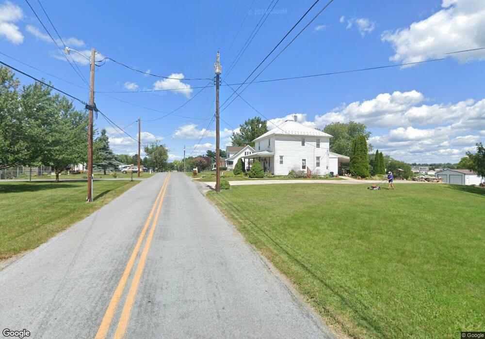
12905 Point Salem Rd Hagerstown, MD 21740
Estimated Value: $281,000 - $306,525
2
Beds
1
Bath
1,170
Sq Ft
$246/Sq Ft
Est. Value
About This Home
This home is located at 12905 Point Salem Rd, Hagerstown, MD 21740 and is currently estimated at $288,381, approximately $246 per square foot. 12905 Point Salem Rd is a home located in Washington County with nearby schools including Jonathan Hager Elementary School, Owendale-Gagetown Junior/Senior High School, and Western Heights Middle School.
Ownership History
Date
Name
Owned For
Owner Type
Purchase Details
Closed on
Mar 2, 2010
Sold by
Callahan Mary E
Bought by
Wireman Travis
Current Estimated Value
Purchase Details
Closed on
Jan 5, 2005
Sold by
L and Rson Raymond L
Bought by
Callahan Mary E and Linton Jerry L
Home Financials for this Owner
Home Financials are based on the most recent Mortgage that was taken out on this home.
Original Mortgage
$175,920
Interest Rate
8.12%
Mortgage Type
Adjustable Rate Mortgage/ARM
Create a Home Valuation Report for This Property
The Home Valuation Report is an in-depth analysis detailing your home's value as well as a comparison with similar homes in the area
Home Values in the Area
Average Home Value in this Area
Purchase History
| Date | Buyer | Sale Price | Title Company |
|---|---|---|---|
| Wireman Travis | $139,983 | -- | |
| Callahan Mary E | $219,900 | -- |
Source: Public Records
Mortgage History
| Date | Status | Borrower | Loan Amount |
|---|---|---|---|
| Previous Owner | Callahan Mary E | $175,920 | |
| Closed | Wireman Travis | -- |
Source: Public Records
Tax History Compared to Growth
Tax History
| Year | Tax Paid | Tax Assessment Tax Assessment Total Assessment is a certain percentage of the fair market value that is determined by local assessors to be the total taxable value of land and additions on the property. | Land | Improvement |
|---|---|---|---|---|
| 2025 | $2,110 | $218,700 | $64,400 | $154,300 |
| 2024 | $2,110 | $197,967 | $0 | $0 |
| 2023 | $1,843 | $177,233 | $0 | $0 |
| 2022 | $1,680 | $156,500 | $64,400 | $92,100 |
| 2021 | $1,648 | $153,500 | $0 | $0 |
| 2020 | $1,648 | $150,500 | $0 | $0 |
| 2019 | $1,624 | $147,500 | $64,400 | $83,100 |
| 2018 | $1,624 | $147,500 | $64,400 | $83,100 |
| 2017 | $1,624 | $147,500 | $0 | $0 |
| 2016 | -- | $150,700 | $0 | $0 |
| 2015 | $2,075 | $150,700 | $0 | $0 |
| 2014 | $2,075 | $150,700 | $0 | $0 |
Source: Public Records
Map
Nearby Homes
- 12922 Salem Ave
- 12922 Nittany Lion Cir
- 13011 Nittany Lion Cir
- 18126 Demon Deacon Ct
- 17656 Potter Bell Way
- 17529 Patterson Dr
- 17500 Patterson Dr
- 17402 Cobb Ct
- 17510 Magma Ct
- 370 Daycotah Ave
- 12710 Wallace Ct
- 259 Daycotah Ave
- 13171 Salem Church Rd
- 17503 Matric Ct
- 12612 Chambliss Dr
- 1361 Connecticut Ave
- 1362 Connecticut Ave
- 1355 Connecticut Ave
- 12432 Gemstone Dr
- 212 Daycotah Ave
- 12909 Point Salem Rd
- 12839 Point Salem Rd
- 12908 Point Salem Rd
- 12904 Point Salem Rd
- 12910 Point Salem Rd
- 12900 Point Salem Rd
- 12912 Point Salem Rd
- 12835 Point Salem Rd
- 12919 Point Salem Rd
- 12916 Point Salem Rd
- 12833 Point Salem Rd
- 12922 Point Salem Rd
- 12921 Point Salem Rd
- 12828 Point Salem Rd
- 12829 Point Salem Rd
- 12749 Harmonious Ln
- 12826 Point Salem Rd
- 12926 Point Salem Rd
- 12832 Point Salem Rd
- 12927 Point Salem Rd