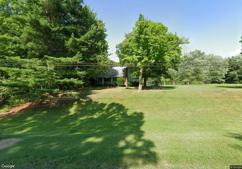
12908 Union Ave NE Alliance, OH 44601
Estimated Value: $155,000 - $247,000
3
Beds
1
Bath
1,388
Sq Ft
$137/Sq Ft
Est. Value
About This Home
This home is located at 12908 Union Ave NE, Alliance, OH 44601 and is currently estimated at $189,480, approximately $136 per square foot. 12908 Union Ave NE is a home located in Stark County with nearby schools including Marlington High School and Regina Coeli/St Joseph School.
Ownership History
Date
Name
Owned For
Owner Type
Purchase Details
Closed on
Oct 13, 2021
Sold by
Carpenter Marvin J and Carpenter Beverly A
Bought by
Carpenter Ricky L
Current Estimated Value
Purchase Details
Closed on
Jun 24, 2021
Sold by
Carpenter Marvin J and Carpenter Beverly A
Bought by
Carpenter Marvin J and Carpenter Beverly A
Create a Home Valuation Report for This Property
The Home Valuation Report is an in-depth analysis detailing your home's value as well as a comparison with similar homes in the area
Home Values in the Area
Average Home Value in this Area
Purchase History
| Date | Buyer | Sale Price | Title Company |
|---|---|---|---|
| Carpenter Ricky L | -- | None Available | |
| Carpenter Marvin J | -- | None Available |
Source: Public Records
Tax History Compared to Growth
Tax History
| Year | Tax Paid | Tax Assessment Tax Assessment Total Assessment is a certain percentage of the fair market value that is determined by local assessors to be the total taxable value of land and additions on the property. | Land | Improvement |
|---|---|---|---|---|
| 2025 | -- | $47,400 | $20,060 | $27,340 |
| 2024 | -- | $47,400 | $20,060 | $27,340 |
| 2023 | $1,384 | $39,140 | $15,300 | $23,840 |
| 2022 | $1,389 | $39,140 | $15,300 | $23,840 |
| 2021 | $1,083 | $39,140 | $15,300 | $23,840 |
| 2020 | $1,006 | $33,890 | $13,200 | $20,690 |
| 2019 | $999 | $33,900 | $13,210 | $20,690 |
| 2018 | $1,001 | $33,900 | $13,210 | $20,690 |
| 2017 | $835 | $28,410 | $9,360 | $19,050 |
| 2016 | $836 | $28,410 | $9,360 | $19,050 |
| 2015 | $796 | $28,410 | $9,360 | $19,050 |
| 2014 | $779 | $26,330 | $8,580 | $17,750 |
| 2013 | $388 | $26,330 | $8,580 | $17,750 |
Source: Public Records
Map
Nearby Homes
- 15520 Coalbank St NE
- 0 Knoll St NE
- 15789 Coalbank St NE
- 15995 Elbrook St NE
- 14723 Bolton St NE
- 11344 Walnut Ave NE
- 15832 Waverly St NE
- 11310 Webb Ave NE
- 14422 Sturbridge Rd NE
- 0 Homestead Ave NE
- 0 Johnson Ave NE Unit 5142926
- 0 Klinger Ave NE
- 0 Meadowbrook Ave
- 652 N Webb Ave
- 124 E Wayne St
- 710 N Freedom Ave
- 505 N Union Ave
- 608 N Freedom Ave
- 000 Klinger Ave
- 263 Franklin Ave
- 12907 Union Ave NE
- 12990 Union Ave NE
- 13020 Union Ave NE
- 12788 Union Ave NE
- 15574 Coalbank St NE
- 15574 Coalbank St NE
- 13058 Union Ave NE
- 12750 Union Ave NE
- 12720 Union Ave NE
- 15470 Knoll St NE
- 15432 Knoll St NE
- 15394 Knoll St NE
- 13090 Union Ave NE
- 15697 Coalbank St NE
- 15407 Knoll St NE
- 12678 Union Ave NE
- 15355 Knoll St NE
- 13051 Union Ave NE
- 13053 Union Ave NE
- 12630 Union Ave NE