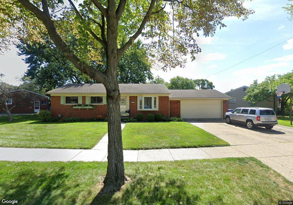
12908 Walter Ave Warren, MI 48088
Northeast Warren NeighborhoodEstimated Value: $240,000 - $259,000
3
Beds
2
Baths
1,145
Sq Ft
$216/Sq Ft
Est. Value
About This Home
This home is located at 12908 Walter Ave, Warren, MI 48088 and is currently estimated at $247,106, approximately $215 per square foot. 12908 Walter Ave is a home located in Macomb County with nearby schools including Warren Woods Tower High School, Frontier International Academy Elementary, and Warren Woods Christian School.
Ownership History
Date
Name
Owned For
Owner Type
Purchase Details
Closed on
Apr 28, 2000
Sold by
Michael Kathryn J
Bought by
Constantine William C
Current Estimated Value
Home Financials for this Owner
Home Financials are based on the most recent Mortgage that was taken out on this home.
Original Mortgage
$142,500
Outstanding Balance
$49,371
Interest Rate
8.18%
Estimated Equity
$197,735
Create a Home Valuation Report for This Property
The Home Valuation Report is an in-depth analysis detailing your home's value as well as a comparison with similar homes in the area
Home Values in the Area
Average Home Value in this Area
Purchase History
| Date | Buyer | Sale Price | Title Company |
|---|---|---|---|
| Constantine William C | $150,000 | -- |
Source: Public Records
Mortgage History
| Date | Status | Borrower | Loan Amount |
|---|---|---|---|
| Open | Constantine William C | $142,500 |
Source: Public Records
Tax History
| Year | Tax Paid | Tax Assessment Tax Assessment Total Assessment is a certain percentage of the fair market value that is determined by local assessors to be the total taxable value of land and additions on the property. | Land | Improvement |
|---|---|---|---|---|
| 2025 | $3,356 | $122,350 | $0 | $0 |
| 2024 | $33 | $111,620 | $0 | $0 |
| 2023 | $3,094 | $107,950 | $0 | $0 |
| 2022 | $3,034 | $93,140 | $0 | $0 |
| 2021 | $2,977 | $85,550 | $0 | $0 |
| 2020 | $2,853 | $81,060 | $0 | $0 |
| 2019 | $2,725 | $77,700 | $0 | $0 |
| 2018 | $81 | $64,090 | $0 | $0 |
| 2017 | $2,604 | $58,050 | $15,050 | $43,000 |
| 2016 | $2,584 | $58,050 | $0 | $0 |
| 2015 | -- | $52,410 | $0 | $0 |
| 2013 | $2,495 | $48,830 | $0 | $0 |
Source: Public Records
Map
Nearby Homes
- 13015 Walter Ave
- 29579 Fairfield Dr
- 12531 Common Rd
- 54765 Palomino Ave
- 29531 Eiffel Ave
- 13325 Iowa Dr
- 29143 Dover Ave
- 29337 Roan Dr
- 29134 Palomino Dr
- 30507 Moulin Ave
- 29105 Palomino Dr
- 30806 Ridgefield Ave
- 29010 Wagner Dr
- 29091 Wagner Dr
- 30955 Iroquois Dr
- 13209 E 13 Mile Rd
- 29417 Scarborough Dr Unit 28
- 29088 Yorkshire Ln Unit 28
- 29626 Hoover Rd Unit 626
- 30139 Flanders Ave
- 12932 Walter Ave
- 29734 Newport Dr
- 29722 Newport Dr
- 29675 Fairfield Dr
- 12954 Walter Ave
- 29812 Newport Dr
- 29663 Fairfield Dr
- 29805 Newport Dr
- 29710 Newport Dr
- 12919 Walter Ave
- 12931 Walter Ave
- 12943 Walter Ave
- 29651 Fairfield Dr
- 29840 Newport Dr
- 29725 Newport Dr
- 12955 Walter Ave
- 29680 Newport Dr
- 29715 Newport Dr
- 13020 Walter Ave
- 29639 Fairfield Dr
Your Personal Tour Guide
Ask me questions while you tour the home.