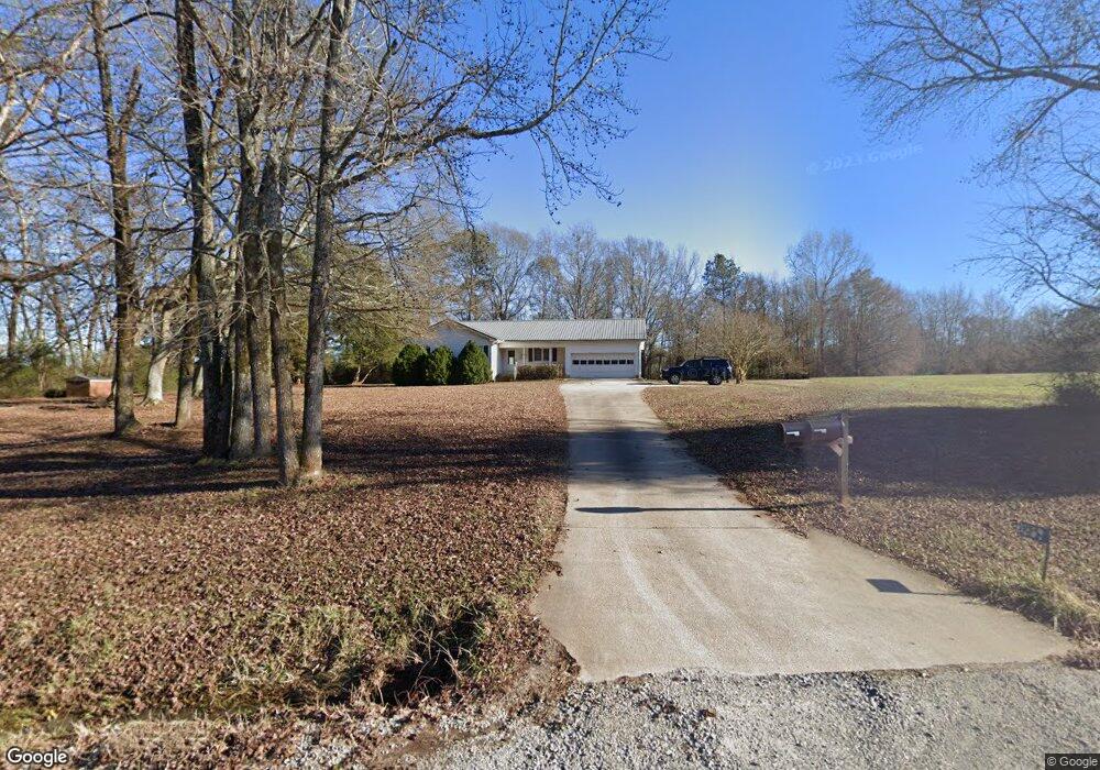
1291 Armistead Rd Rutledge, GA 30663
Estimated Value: $338,409 - $459,000
3
Beds
3
Baths
1,928
Sq Ft
$216/Sq Ft
Est. Value
About This Home
This home is located at 1291 Armistead Rd, Rutledge, GA 30663 and is currently estimated at $415,852, approximately $215 per square foot. 1291 Armistead Rd is a home located in Morgan County with nearby schools including Morgan County Primary School, Morgan County Elementary School, and Morgan County Middle School.
Ownership History
Date
Name
Owned For
Owner Type
Purchase Details
Closed on
Oct 21, 2004
Sold by
Zimmerman Wayne R
Bought by
Zimmerman Deborah A
Current Estimated Value
Purchase Details
Closed on
May 4, 1992
Sold by
Merritt Charles
Bought by
Zimmerman Wayne R
Create a Home Valuation Report for This Property
The Home Valuation Report is an in-depth analysis detailing your home's value as well as a comparison with similar homes in the area
Home Values in the Area
Average Home Value in this Area
Purchase History
| Date | Buyer | Sale Price | Title Company |
|---|---|---|---|
| Zimmerman Deborah A | -- | -- | |
| Zimmerman Wayne R | -- | -- |
Source: Public Records
Tax History Compared to Growth
Tax History
| Year | Tax Paid | Tax Assessment Tax Assessment Total Assessment is a certain percentage of the fair market value that is determined by local assessors to be the total taxable value of land and additions on the property. | Land | Improvement |
|---|---|---|---|---|
| 2025 | $1,741 | $107,544 | $33,372 | $74,172 |
| 2024 | $1,992 | $94,027 | $26,568 | $67,459 |
| 2023 | $1,951 | $85,035 | $24,503 | $60,532 |
| 2022 | $1,949 | $81,675 | $24,503 | $57,172 |
| 2021 | $1,957 | $81,675 | $24,503 | $57,172 |
| 2020 | $1,596 | $66,372 | $9,200 | $57,172 |
| 2019 | $1,587 | $65,000 | $9,200 | $55,800 |
| 2018 | $1,611 | $65,000 | $9,200 | $55,800 |
| 2017 | $1,664 | $64,246 | $9,292 | $54,954 |
| 2016 | $1,462 | $57,273 | $9,200 | $48,073 |
| 2015 | $1,398 | $54,160 | $6,400 | $47,760 |
| 2014 | $1,268 | $50,640 | $5,600 | $45,040 |
| 2013 | -- | $38,080 | $5,600 | $32,480 |
Source: Public Records
Map
Nearby Homes
- 4318 Hester Town Rd
- 3481 Fairplay Rd
- 5624 Sandy Creek Rd
- 2870 Prospect Rd
- 176 Social Circle Fairplay Rd
- 0 Barton Bridge Rd Unit LOT 1 10441983
- 0 Mt Vernon Rd Unit 7601782
- 0 Mt Vernon Rd Unit 10548484
- 1953 Barton Bridge Rd
- 0 Pannell Rd Unit 10571545
- 2536 Brindle Farmer Rd
- 0 Browning Shoals Rd Unit 7392331
- 0 Browning Shoals Rd Unit TRACT 1A & 1B
- 3193 Old Monroe Madison Hwy
- 3315 Chandler Rd
- 0 Double Bridges Rd Unit Madison GA 30650
- 2950 Doster Rd
- 1501 Launius Rd
- LOT 3 Mallory Rd
- 25 Browning Shoals Rd
- 1191 Armistead Rd
- 2960 Fairplay Rd
- 2080 Hestertown Rd
- 1011 Gregg Rd
- 1980 Hester Town Rd
- 2280 Hestertown Rd
- 1051 Gregg Rd
- 2121 Hestertown Rd
- 2121 Hester Town Rd
- 2091 Hestertown Rd
- 2838 Fairplay Rd
- 3121 Fairplay Rd
- 1100 Richardson Rd
- 3010 Fairplay Rd
- 1970 Hestertown Rd
- 3090 Fairplay Rd
- 2840 Fairplay Rd
- 2780 Fairplay Rd
- 2151 Hestertown Rd
- 2151 Hester Town Rd