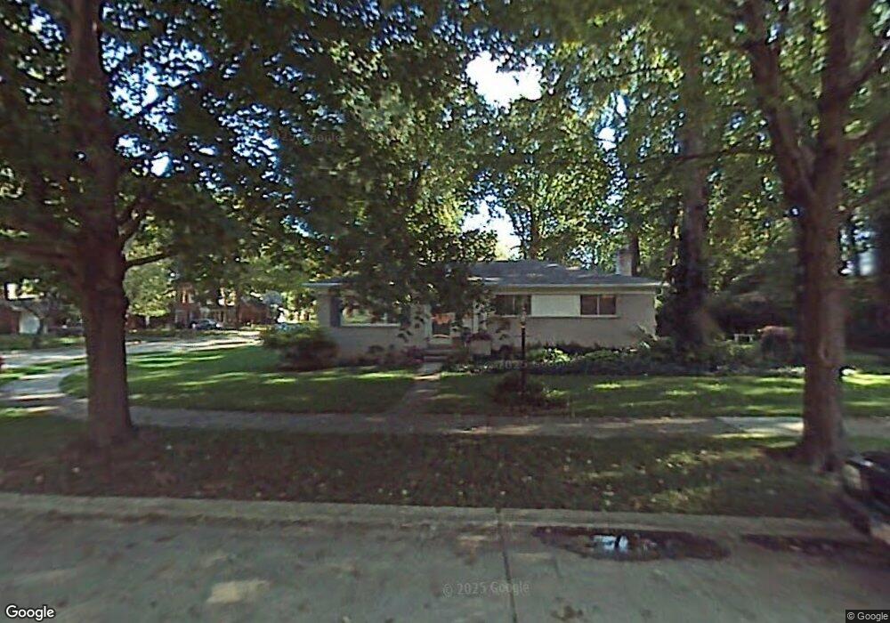
1291 Beech St Unit Bldg-Unit Plymouth, MI 48170
Estimated Value: $1,106,317 - $1,325,000
3
Beds
4
Baths
2,915
Sq Ft
$405/Sq Ft
Est. Value
About This Home
This home is located at 1291 Beech St Unit Bldg-Unit, Plymouth, MI 48170 and is currently estimated at $1,181,439, approximately $405 per square foot. 1291 Beech St Unit Bldg-Unit is a home located in Wayne County with nearby schools including Canton High School, Smith Elementary School, and West Middle School.
Ownership History
Date
Name
Owned For
Owner Type
Purchase Details
Closed on
Jan 2, 2024
Sold by
Harris Jeffrey
Bought by
Lisa Harris Trust and Harris
Current Estimated Value
Purchase Details
Closed on
May 31, 2018
Sold by
Evergreen Development Nv Llc
Bought by
Harris Jeffrey
Purchase Details
Closed on
Apr 28, 2017
Sold by
Poirier Gloria J
Bought by
Evergreen Development Nv Llc
Create a Home Valuation Report for This Property
The Home Valuation Report is an in-depth analysis detailing your home's value as well as a comparison with similar homes in the area
Home Values in the Area
Average Home Value in this Area
Purchase History
| Date | Buyer | Sale Price | Title Company |
|---|---|---|---|
| Lisa Harris Trust | -- | Title Solutions | |
| Lisa Harris Trust | -- | Title Solutions | |
| Harris Jeffrey | $814,613 | None Available | |
| Evergreen Development Nv Llc | $285,000 | None Available |
Source: Public Records
Tax History Compared to Growth
Tax History
| Year | Tax Paid | Tax Assessment Tax Assessment Total Assessment is a certain percentage of the fair market value that is determined by local assessors to be the total taxable value of land and additions on the property. | Land | Improvement |
|---|---|---|---|---|
| 2025 | $14,350 | $493,300 | $0 | $0 |
| 2024 | $14,350 | $479,600 | $0 | $0 |
| 2023 | $13,977 | $418,300 | $0 | $0 |
| 2022 | $14,815 | $417,100 | $0 | $0 |
| 2021 | $14,356 | $409,100 | $0 | $0 |
| 2020 | $14,319 | $329,400 | $0 | $0 |
| 2019 | $12,655 | $324,500 | $0 | $0 |
| 2018 | $9,616 | $168,800 | $0 | $0 |
| 2017 | $791 | $140,500 | $0 | $0 |
| 2016 | $4,067 | $140,500 | $0 | $0 |
| 2015 | $9,315 | $135,030 | $0 | $0 |
| 2013 | $9,024 | $109,240 | $0 | $0 |
| 2011 | -- | $94,070 | $0 | $0 |
Source: Public Records
Map
Nearby Homes
- 1125 Sutherland St
- 638 S Harvey St
- 1199 S Sheldon Rd Unit 77
- 1078 Simpson St
- 844 Ross St
- 1338 S Harvey St
- 44571 Clare Blvd
- 10839 Brookwood Dr
- 801 W Ann Arbor Trail Unit 306
- 775 Deer Ct Unit 104
- 543 Deer St
- 44736 Lynn Dr
- 660 Maple St
- 685 Ross St
- 668 Maple St
- 636 Maple St
- 644 Maple St
- 628 Maple St
- 42384 Gateway Dr
- 44750 Erin Dr Unit 40