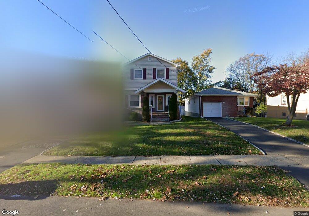
1291 Columbia Ave Unit 93 Plainfield, NJ 07062
Estimated Value: $307,000 - $474,000
--
Bed
--
Bath
647
Sq Ft
$617/Sq Ft
Est. Value
About This Home
This home is located at 1291 Columbia Ave Unit 93, Plainfield, NJ 07062 and is currently estimated at $399,456, approximately $617 per square foot. 1291 Columbia Ave Unit 93 is a home located in Union County with nearby schools including Emerson Community School, Maxson Middle School, and Plainfield High School.
Ownership History
Date
Name
Owned For
Owner Type
Purchase Details
Closed on
Oct 27, 1993
Sold by
Taylor Robert C
Bought by
Carter Selina
Current Estimated Value
Home Financials for this Owner
Home Financials are based on the most recent Mortgage that was taken out on this home.
Original Mortgage
$112,000
Interest Rate
6.79%
Create a Home Valuation Report for This Property
The Home Valuation Report is an in-depth analysis detailing your home's value as well as a comparison with similar homes in the area
Home Values in the Area
Average Home Value in this Area
Purchase History
| Date | Buyer | Sale Price | Title Company |
|---|---|---|---|
| Carter Selina | $118,000 | -- |
Source: Public Records
Mortgage History
| Date | Status | Borrower | Loan Amount |
|---|---|---|---|
| Closed | Carter Selina | $112,000 |
Source: Public Records
Tax History Compared to Growth
Tax History
| Year | Tax Paid | Tax Assessment Tax Assessment Total Assessment is a certain percentage of the fair market value that is determined by local assessors to be the total taxable value of land and additions on the property. | Land | Improvement |
|---|---|---|---|---|
| 2025 | $6,584 | $75,400 | $32,000 | $43,400 |
| 2024 | $6,519 | $75,400 | $32,000 | $43,400 |
| 2023 | $6,519 | $75,400 | $32,000 | $43,400 |
| 2022 | $6,378 | $75,400 | $32,000 | $43,400 |
| 2021 | $6,322 | $75,400 | $32,000 | $43,400 |
| 2020 | $6,304 | $75,400 | $32,000 | $43,400 |
| 2019 | $6,304 | $75,400 | $32,000 | $43,400 |
| 2018 | $6,172 | $75,400 | $32,000 | $43,400 |
| 2017 | $6,021 | $75,400 | $32,000 | $43,400 |
| 2016 | $5,899 | $75,400 | $32,000 | $43,400 |
| 2015 | $5,724 | $75,400 | $32,000 | $43,400 |
| 2014 | -- | $75,400 | $32,000 | $43,400 |
Source: Public Records
Map
Nearby Homes
- 1255 Columbia Ave Unit 57
- 1365 Columbia Ave Unit 69
- 1364 George St
- 1107-11 North Ave
- 1107 North Ave Unit 11
- 343 Netherwood Ave Unit 45
- 258 Netherwood Ave Unit 60
- 1415 George St Unit 23
- 225 Sumner Ave Unit 27
- 1123 E 3rd St Unit 25
- 1138-40 Gresham Rd
- 1206 E 2nd St Unit 8
- 263 Colonial Place Unit 65
- 190 Carlisle Terrace Unit 94
- 213 Netherwood Ave Unit 15
- 153-55 Leland Ave
- 351 Terrill Rd
- 842 Berkeley Ave
- 1368 E 2nd St
- 810 Leland Ave Unit 14
- 1295 Columbia Ave Unit 97
- 1295-97 Columbia Ave
- 1287 Columbia Ave Unit 89
- 1299 Columbia Ave Unit 1301
- 1283 Columbia Ave Unit 85
- 1279 Columbia Ave Unit 81
- 1303 Columbia Ave Unit 5
- 1278 George St Unit 80
- 1286 George St
- 1275 Columbia Ave Unit 77
- 1307 Columbia Ave Unit 9
- 1274 George St Unit 76
- 1288 George St Unit 90
- 1282 George St Unit 84
- 1270 Columbia Ave Unit 72
- 1278-1306 Columbia Ave
- 1311 Columbia Ave Unit 13
- 1271 Columbia Ave Unit 73
- 1268 Columbia Ave
- 1270 George St Unit 72