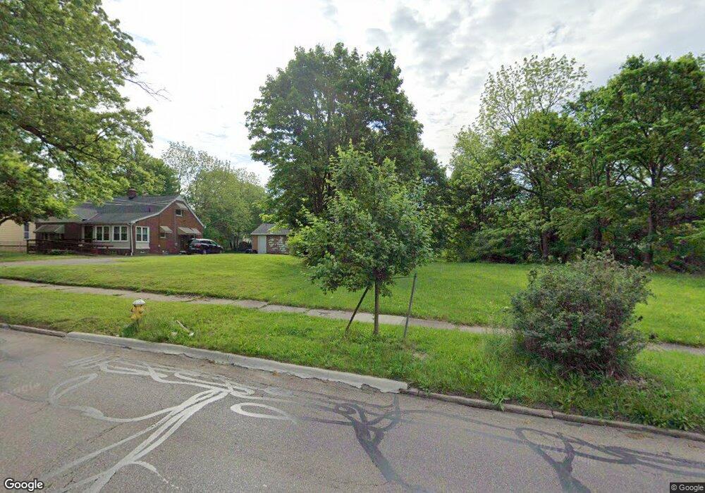
1291 Diagonal Rd Akron, OH 44307
Sherbondy Hill NeighborhoodEstimated Value: $229,000
3
Beds
2
Baths
1,418
Sq Ft
$161/Sq Ft
Est. Value
About This Home
This home is located at 1291 Diagonal Rd, Akron, OH 44307 and is currently estimated at $229,000, approximately $161 per square foot. 1291 Diagonal Rd is a home located in Summit County with nearby schools including Emmanuel Christian Academy.
Ownership History
Date
Name
Owned For
Owner Type
Purchase Details
Closed on
Jun 27, 2023
Sold by
Summit County Land Reutilization Corpora
Bought by
Parker Alan D and Parker Belinda C
Current Estimated Value
Purchase Details
Closed on
Jun 23, 2023
Sold by
Summit Cnty Land Reutilization
Bought by
Parker Alan D and Parker Belinda C
Purchase Details
Closed on
Aug 9, 2018
Sold by
Jackson Cynthia L and Scalise Kristen M
Bought by
The Summit County Land Reutilization Cor
Create a Home Valuation Report for This Property
The Home Valuation Report is an in-depth analysis detailing your home's value as well as a comparison with similar homes in the area
Home Values in the Area
Average Home Value in this Area
Purchase History
| Date | Buyer | Sale Price | Title Company |
|---|---|---|---|
| Parker Alan D | -- | None Listed On Document | |
| Parker Alan D | -- | None Listed On Document | |
| The Summit County Land Reutilization Cor | -- | None Available |
Source: Public Records
Tax History
| Year | Tax Paid | Tax Assessment Tax Assessment Total Assessment is a certain percentage of the fair market value that is determined by local assessors to be the total taxable value of land and additions on the property. | Land | Improvement |
|---|---|---|---|---|
| 2025 | $202 | $11,190 | $11,190 | -- |
| 2024 | $202 | $11,190 | $11,190 | -- |
| 2023 | $202 | $11,190 | $11,190 | $0 |
| 2022 | $202 | $5,082 | $5,082 | $0 |
| 2021 | $202 | $5,082 | $5,082 | $0 |
| 2020 | $202 | $5,080 | $5,080 | $0 |
| 2019 | $202 | $5,080 | $5,080 | $0 |
| 2018 | $144 | $11,770 | $5,080 | $6,690 |
| 2017 | $1,481 | $11,770 | $5,080 | $6,690 |
| 2016 | $1,334 | $11,920 | $5,080 | $6,840 |
| 2015 | $1,481 | $11,920 | $5,080 | $6,840 |
| 2014 | $1,004 | $11,920 | $5,080 | $6,840 |
| 2013 | $1,039 | $12,680 | $5,080 | $7,600 |
Source: Public Records
Map
Nearby Homes
- 1255 Dover Ave
- 1296 Harmon Ave
- VL Mercer Ave
- 783 Leonard St
- 1225 Belleflower Rd
- 1088 Packard Dr
- 1188 Hardesty Blvd
- 1040 Mercer Ave
- 1327 Crestview Ave
- 985 Diana Ave
- 776 Krause Ct
- 1257 Greenwood Ave
- 1248 Greenwood Ave
- 881 Stoner St
- 1291 Roslyn Ave
- 970 Mercer Ave
- 1194 Greenwood Ave
- 957 Mercer Ave
- 815 Longview Ave
- 1041 Diagonal Rd
- 1285 Diagonal Rd
- 1281 1285 Diagonal Rd
- 1281 Diagonal Rd
- 1299 Diagonal Rd
- 1292 Diagonal Rd
- 1288 Diagonal Rd
- 1305 Diagonal Rd
- 1275 Diagonal Rd
- 1276 Diagonal Rd
- 1307 Diagonal Rd
- 1225 Packard Dr
- 1221 Packard Dr
- 1274 Diagonal Rd
- 1217 Packard Dr
- 881 Leonard St
- 1213 Packard Dr
- 877 Leonard St
- 869 Leonard St
- 1209 Packard Dr
- 1265 Diagonal Rd
Your Personal Tour Guide
Ask me questions while you tour the home.