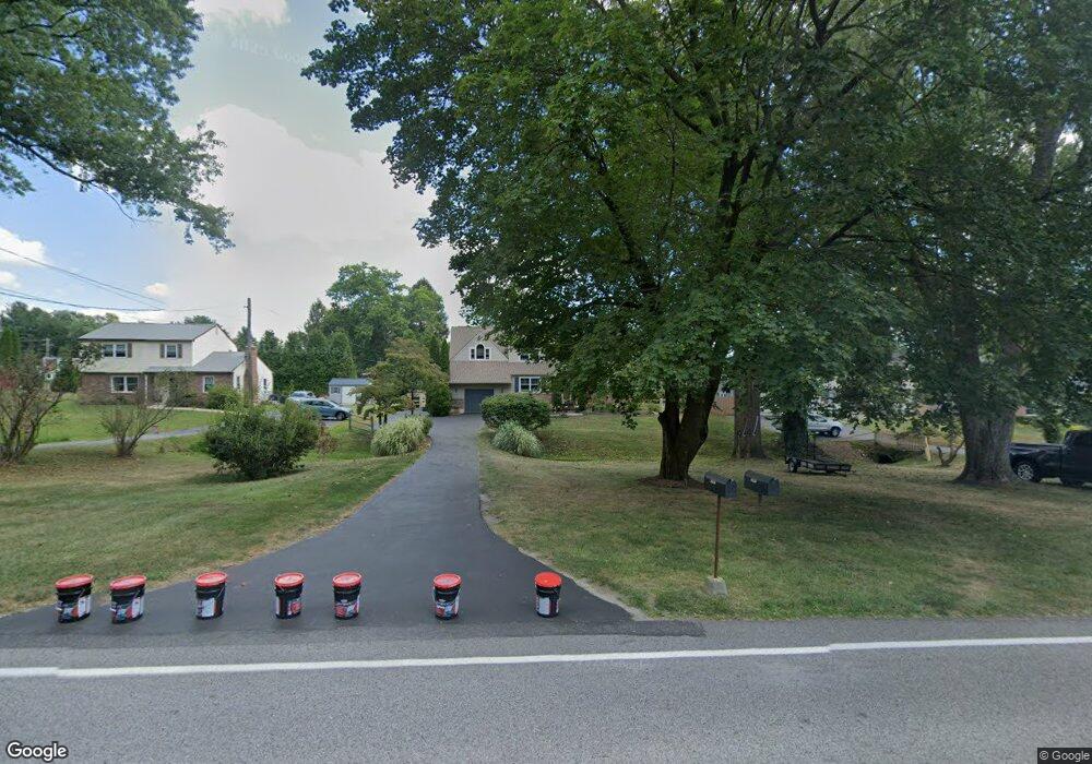
1291 Grove Rd West Chester, PA 19380
Estimated Value: $606,580 - $682,000
5
Beds
3
Baths
2,245
Sq Ft
$291/Sq Ft
Est. Value
About This Home
This home is located at 1291 Grove Rd, West Chester, PA 19380 and is currently estimated at $653,395, approximately $291 per square foot. 1291 Grove Rd is a home located in Chester County with nearby schools including Mary C Howse Elementary School, E.N. Peirce Middle School, and Henderson High School.
Ownership History
Date
Name
Owned For
Owner Type
Purchase Details
Closed on
Feb 14, 2005
Sold by
Difronzo Anthony J and Difronzo Diane L
Bought by
Kirby Robert S and Kirby Wendy L
Current Estimated Value
Home Financials for this Owner
Home Financials are based on the most recent Mortgage that was taken out on this home.
Original Mortgage
$215,000
Interest Rate
5.87%
Mortgage Type
Fannie Mae Freddie Mac
Purchase Details
Closed on
Mar 27, 1997
Sold by
Vanderlip Donald E and Vanderlip Lois A
Bought by
Difronzo Anthony J and Difronzo Diane L
Home Financials for this Owner
Home Financials are based on the most recent Mortgage that was taken out on this home.
Original Mortgage
$126,000
Interest Rate
7.5%
Create a Home Valuation Report for This Property
The Home Valuation Report is an in-depth analysis detailing your home's value as well as a comparison with similar homes in the area
Home Values in the Area
Average Home Value in this Area
Purchase History
| Date | Buyer | Sale Price | Title Company |
|---|---|---|---|
| Kirby Robert S | $365,000 | -- | |
| Difronzo Anthony J | $140,000 | -- |
Source: Public Records
Mortgage History
| Date | Status | Borrower | Loan Amount |
|---|---|---|---|
| Previous Owner | Kirby Robert S | $215,000 | |
| Previous Owner | Difronzo Anthony J | $126,000 |
Source: Public Records
Tax History Compared to Growth
Tax History
| Year | Tax Paid | Tax Assessment Tax Assessment Total Assessment is a certain percentage of the fair market value that is determined by local assessors to be the total taxable value of land and additions on the property. | Land | Improvement |
|---|---|---|---|---|
| 2025 | $4,740 | $163,520 | $43,890 | $119,630 |
| 2024 | $4,740 | $163,520 | $43,890 | $119,630 |
| 2023 | $4,530 | $163,520 | $43,890 | $119,630 |
| 2022 | $4,468 | $163,520 | $43,890 | $119,630 |
| 2021 | $4,403 | $163,520 | $43,890 | $119,630 |
| 2020 | $4,373 | $163,520 | $43,890 | $119,630 |
| 2019 | $4,310 | $163,520 | $43,890 | $119,630 |
| 2018 | $4,214 | $163,520 | $43,890 | $119,630 |
| 2017 | $4,118 | $163,520 | $43,890 | $119,630 |
| 2016 | $3,511 | $163,520 | $43,890 | $119,630 |
| 2015 | $3,511 | $163,520 | $43,890 | $119,630 |
| 2014 | $3,511 | $163,520 | $43,890 | $119,630 |
Source: Public Records
Map
Nearby Homes
- 1430 Grove Ave
- 1430 Grove Ave Unit 1BP
- 1430 Grove Ave Unit 1RD
- 1430 Grove Ave Unit 1MP
- 1430 Grove Ave Unit 1BLP
- 1432 Grove Ave
- 138 Sussex Rd
- 108 Waterwillow Rd
- 1230 N Ashbrooke Dr
- 718 Southern Dr
- 1230 Pottstown Pike
- 510 Pine Needle Dr
- 456 Cardigan Terrace Unit 456
- 133 Denbigh Terrace Unit G33
- 296 Anglesey Terrace Unit 68
- 256 Torrey Pine Ct
- 422 Spackman Ln
- 1402 Redwood Ct Unit 57
- 1354 Old Pottstown Pike
- 415 Anglesey Terrace