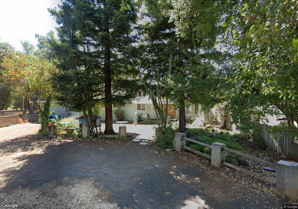
1291 Harpole Rd Redding, CA 96002
Enterprise NeighborhoodEstimated Value: $295,348 - $314,000
About This Home
This home is located at 1291 Harpole Rd, Redding, CA 96002 and is currently estimated at $304,087, approximately $220 per square foot. 1291 Harpole Rd is a home located in Shasta County with nearby schools including Lassen View Elementary School, Parsons Junior High School, and Enterprise High School.
Ownership History
We collect this data history from publicly available records. To have your information removed, we recommend requesting removal directly through your county’s website.
Purchase Details
Purchase Details
Purchase Details
Home Financials for this Owner
Home Financials are based on the most recent Mortgage that was taken out on this home.Home Values in the Area
Average Home Value in this Area
Purchase History
We collect this data history from publicly available records. To have your information removed, we recommend requesting removal directly through your county’s website.
| Date | Buyer | Sale Price | Title Company |
|---|---|---|---|
| $40,000 | None Available | ||
| $43,000 | Fidelity National Title Co | ||
| $83,000 | Fidelity National Title Co |
Mortgage History
We collect this data history from publicly available records. To have your information removed, we recommend requesting removal directly through your county’s website.
| Date | Status | Borrower | Loan Amount |
|---|---|---|---|
| Previous Owner | $43,000 |
Tax History
We collect this data history from publicly available records. To have your information removed, we recommend requesting removal directly through your county’s website.
| Year | Tax Paid | Tax Assessment Tax Assessment Total Assessment is a certain percentage of the fair market value that is determined by local assessors to be the total taxable value of land and additions on the property. | Land | Improvement |
|---|---|---|---|---|
| 2025 | $1,743 | $158,635 | $48,070 | $110,565 |
| 2024 | $1,718 | $155,526 | $47,128 | $108,398 |
| 2023 | $1,718 | $152,477 | $46,204 | $106,273 |
| 2022 | $1,670 | $149,489 | $45,299 | $104,190 |
| 2021 | $1,613 | $146,559 | $44,411 | $102,148 |
| 2020 | $1,605 | $145,057 | $43,956 | $101,101 |
| 2019 | $1,592 | $142,214 | $43,095 | $99,119 |
| 2018 | $1,574 | $139,426 | $42,250 | $97,176 |
| 2017 | $1,601 | $136,693 | $41,422 | $95,271 |
| 2016 | $1,499 | $134,013 | $40,610 | $93,403 |
| 2015 | $1,486 | $132,000 | $40,000 | $92,000 |
| 2014 | $1,148 | $100,013 | $26,507 | $73,506 |
Map
- 1439 Harpole Rd
- 3594 Echo Rd
- 3790 Indio Way
- 3886 Alma Ave
- 1397 Empress Ln
- 3914 Alma Ave
- 1152 Echo Rd
- 1513 Harpole Rd
- 3360 Lawrence Rd
- 1613 Galaxy Way
- 4020 Churn Creek Rd
- 1064 Ledell Dr
- 3293 Middleton Ln
- 3753 Canterbury Dr
- 3178 Lawrence Rd
- 1075 Le Brun Ln
- 3283 Middleton Ln
- 1210 C St
- 4323 Churn Crk Rd
- 3260 Alexander Dr
- 1262 Harpole Rd
- 1274 Harpole Rd
- 1250 Harpole Rd
- 3640 Alma Ave
- 1300 Harpole Rd Unit CLEAN!
- 1300 Harpole Rd
- 1322 Harpole Rd
- 3652 Alma Ave
- 1251 Harpole Rd
- 1279 Harpole Rd
- 1235 Harpole Rd
- 3664 Alma Ave Unit 1
- 3664 Alma Ave
- 1354 Harpole Rd
- 3619 Alma Ave
- 3627 Alma Ave Unit ONE
- 3627 Alma Ave
- 3635 Alma Ave
- 3605 Alma Ave
- 3643 Alma Ave
Ask me questions while you tour the home.