1291 Long Rd Weiser, ID 83672
Estimated Value: $581,519
3
Beds
4
Baths
1,760
Sq Ft
$330/Sq Ft
Est. Value
About This Home
This home is located at 1291 Long Rd, Weiser, ID 83672 and is currently estimated at $581,519, approximately $330 per square foot. 1291 Long Rd is a home located in Washington County with nearby schools including Pioneer Primary School, Park Intermediate School, and Weiser Middle School.
Ownership History
Date
Name
Owned For
Owner Type
Purchase Details
Closed on
Apr 9, 2018
Sold by
Plummer Ina Rhonda
Bought by
Ventura Ernesto L
Current Estimated Value
Home Financials for this Owner
Home Financials are based on the most recent Mortgage that was taken out on this home.
Original Mortgage
$125,000
Outstanding Balance
$106,333
Interest Rate
4.44%
Mortgage Type
New Conventional
Estimated Equity
$475,186
Create a Home Valuation Report for This Property
The Home Valuation Report is an in-depth analysis detailing your home's value as well as a comparison with similar homes in the area
Purchase History
| Date | Buyer | Sale Price | Title Company |
|---|---|---|---|
| Ventura Ernesto L | -- | Amerititle Weiser |
Source: Public Records
Mortgage History
| Date | Status | Borrower | Loan Amount |
|---|---|---|---|
| Open | Ventura Ernesto L | $125,000 |
Source: Public Records
Tax History
| Year | Tax Paid | Tax Assessment Tax Assessment Total Assessment is a certain percentage of the fair market value that is determined by local assessors to be the total taxable value of land and additions on the property. | Land | Improvement |
|---|---|---|---|---|
| 2025 | $1,307 | $330,129 | $73,648 | $256,481 |
| 2024 | $1,333 | $325,380 | $73,767 | $251,613 |
| 2023 | $1,099 | $308,717 | $73,919 | $234,798 |
| 2022 | $1,538 | $318,923 | $96,502 | $222,421 |
| 2021 | $1,207 | $236,901 | $66,314 | $170,587 |
| 2020 | $1,007 | $179,257 | $56,251 | $123,006 |
| 2019 | $1,007 | $138,792 | $45,718 | $93,074 |
| 2018 | $1,568 | $147,105 | $45,614 | $101,491 |
| 2017 | $1,543 | $138,792 | $45,718 | $93,074 |
| 2013 | $1,262 | $0 | $0 | $0 |
| 2011 | $1,052 | $0 | $0 | $0 |
Source: Public Records
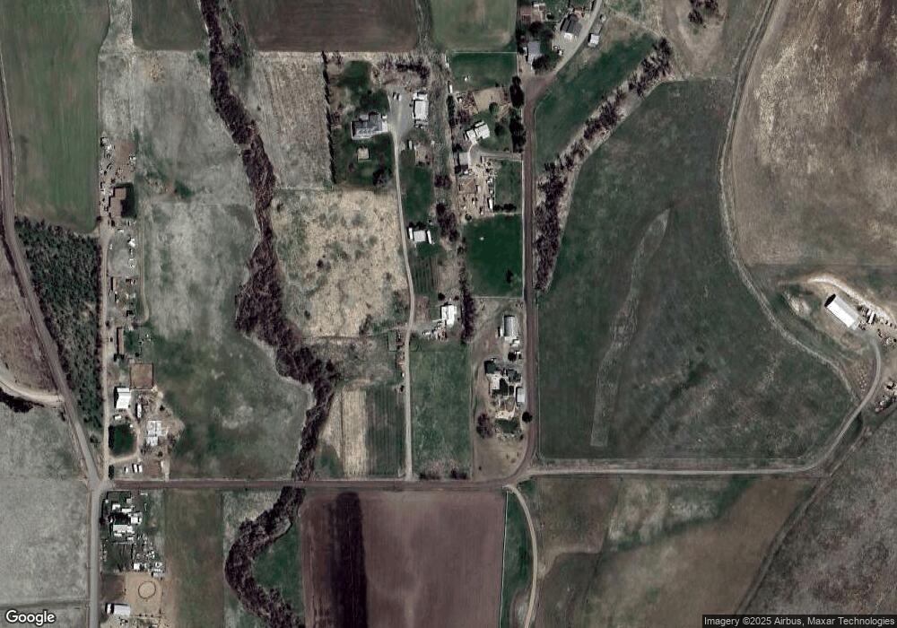
Map
Nearby Homes
- 1190 Devils Elbow Rd
- 1522,1536,1550 Monroe Creek Rd
- 1715 Striker Ln
- 1522 Unit 1536 1550 TBD Monroe
- 1522 1536 1550 Tbd Monroe Creek Rd
- 985 U S 95
- 1855 Jones Rd
- 1587 Gentry Ln
- TBD Pioneer Rd
- TBD Indian Head Rd
- TBD Weiser River Rd
- TBD Indian Hot Springs
- 0 Olds Ferry Rd Unit 98882054
- TBD Rock Creek Rd
- TBD Olds Ferry Rd
- TBD Airport Rd
- TBD Ross Rd
- 1854 Guilford Rd
- 890 Jenkins Creek Rd
- 1117 Olds Ferry Rd
- 1291 Long Rd
- 1293 Long Rd
- 1323 Long Rd
- 1275 Long Rd
- 0000 Long Rd
- 1300 Long Rd
- 1294 Long Rd
- 1354 Monroe Creek Rd
- TBD Devil's Elbow Rd
- 1232 Devils Elbow Rd
- 1240 Devils Elbow Rd
- 1202 Devils Elbow Rd
- 1236 Devils Elbow Rd
- 1240 Devil's Elbow Rd
- 1229 Devils Elbow Rd
- 1290 Monroe Creek Rd
- 1265 Monroe Creek Rd
- 1239 Monroe Creek Rd
- TBD Devils Elbow Rd
Your Personal Tour Guide
Ask me questions while you tour the home.