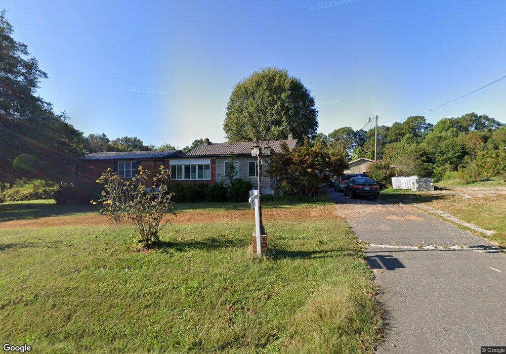
1291 Mckay Rd Newton, NC 28658
Estimated Value: $275,000 - $446,794
3
Beds
2
Baths
1,974
Sq Ft
$178/Sq Ft
Est. Value
About This Home
This home is located at 1291 Mckay Rd, Newton, NC 28658 and is currently estimated at $350,949, approximately $177 per square foot. 1291 Mckay Rd is a home located in Catawba County with nearby schools including Startown Elementary School, Maiden Middle School, and Maiden High School.
Ownership History
Date
Name
Owned For
Owner Type
Purchase Details
Closed on
Dec 15, 2022
Sold by
Livingston Brian and Livingston Leah
Bought by
Livingston Brian and Livingston Leah
Current Estimated Value
Purchase Details
Closed on
Apr 5, 2011
Sold by
Fannie Mae
Bought by
Livingston Brian
Purchase Details
Closed on
Oct 23, 2009
Sold by
Ijames Theodore R and Ijames Mary
Bought by
Federal National Mortgage Association
Purchase Details
Closed on
Feb 1, 1996
Bought by
Ijames Theodore Ralph and Ijames Mary G
Create a Home Valuation Report for This Property
The Home Valuation Report is an in-depth analysis detailing your home's value as well as a comparison with similar homes in the area
Home Values in the Area
Average Home Value in this Area
Purchase History
| Date | Buyer | Sale Price | Title Company |
|---|---|---|---|
| Livingston Brian | -- | -- | |
| Livingston Brian | -- | None Available | |
| Federal National Mortgage Association | $96,493 | None Available | |
| Ijames Theodore Ralph | $90,000 | -- |
Source: Public Records
Tax History Compared to Growth
Tax History
| Year | Tax Paid | Tax Assessment Tax Assessment Total Assessment is a certain percentage of the fair market value that is determined by local assessors to be the total taxable value of land and additions on the property. | Land | Improvement |
|---|---|---|---|---|
| 2025 | $1,771 | $370,400 | $17,700 | $352,700 |
| 2024 | $1,771 | $354,500 | $17,700 | $336,800 |
| 2023 | $1,771 | $411,400 | $0 | $0 |
| 2022 | $974 | $134,400 | $54,900 | $79,500 |
| 2021 | $948 | $134,400 | $54,900 | $79,500 |
| 2020 | $1,077 | $152,700 | $73,200 | $79,500 |
| 2019 | $1,061 | $152,700 | $0 | $0 |
| 2018 | $1,090 | $156,900 | $73,200 | $83,700 |
| 2017 | $1,043 | $0 | $0 | $0 |
| 2016 | $1,043 | $0 | $0 | $0 |
| 2015 | $969 | $156,900 | $73,200 | $83,700 |
| 2014 | $969 | $161,500 | $81,200 | $80,300 |
Source: Public Records
Map
Nearby Homes
- 1127 Mckay Rd
- 2264 Picnic Dr
- 1478 Glenoaks Dr
- 2168 Sterling Ridge Dr
- 2194 Sterling Ridge Dr
- 409 Cardinal Dr
- 108 Pinehurst Ln
- 1633 Fulbright Dr
- 1401 Brentwood Dr
- 425 E N St
- 1401 Southwest Blvd
- 230 Park Ln
- 2438 Annwood Ct Unit 57
- 2118 Sunflower Cir
- 2112 Sunflower Cir
- 2130 Sunflower Cir
- Manchester Plan at Buffalo Ridge
- Cottonwood Plan at Buffalo Ridge
- Dakota Basement Plan at Buffalo Ridge
- Dakota Plan at Buffalo Ridge
- 1291 Mckay Rd Unit 1,2,3 & 4
- 1307 Mckay Rd
- 1274 Mckay Rd
- 000 Mckay Rd
- 1318 Mckay Rd
- 1327 Mckay Rd
- 1324 Mckay Rd
- 1330 Mckay Rd
- 1214 Mckay Rd
- 2197 Little Coulters Church Rd
- 1136 Mckay Rd
- 2198 Little Coulters Church Rd
- 1155 Mckay Rd
- 1234 Knolls Dr
- 1139 Mckay Rd Unit 6
- 2175 Little Coulters Church Rd
- 2159 Little Coulters Church Rd
- 2168 Little Coulters Church Rd
- 1284 Knolls Dr
- 1348 Mckay Rd