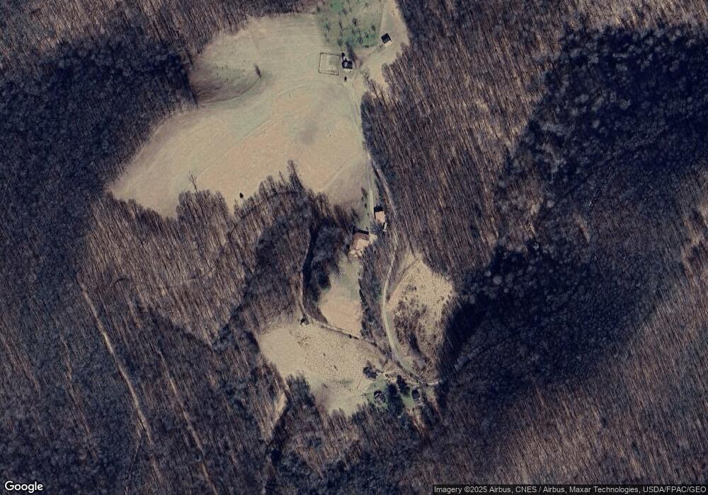
1291 Poplar Ridge Rd Sutton, WV 26601
Estimated Value: $238,000 - $361,000
3
Beds
2
Baths
2,060
Sq Ft
$135/Sq Ft
Est. Value
About This Home
This home is located at 1291 Poplar Ridge Rd, Sutton, WV 26601 and is currently estimated at $277,597, approximately $134 per square foot. 1291 Poplar Ridge Rd is a home with nearby schools including Braxton County High School.
Create a Home Valuation Report for This Property
The Home Valuation Report is an in-depth analysis detailing your home's value as well as a comparison with similar homes in the area
Tax History Compared to Growth
Tax History
| Year | Tax Paid | Tax Assessment Tax Assessment Total Assessment is a certain percentage of the fair market value that is determined by local assessors to be the total taxable value of land and additions on the property. | Land | Improvement |
|---|---|---|---|---|
| 2025 | $656 | $105,360 | $11,520 | $93,840 |
| 2024 | $605 | $98,640 | $12,900 | $85,740 |
| 2023 | $594 | $96,960 | $12,900 | $84,060 |
| 2022 | $588 | $95,640 | $12,900 | $82,740 |
| 2021 | $536 | $88,740 | $12,240 | $76,500 |
| 2020 | $526 | $87,420 | $11,880 | $75,540 |
| 2019 | $505 | $84,000 | $11,520 | $72,480 |
| 2018 | $481 | $80,940 | $11,160 | $69,780 |
| 2017 | $459 | $77,580 | $10,500 | $67,080 |
| 2016 | $467 | $78,480 | $10,500 | $67,980 |
| 2015 | $435 | $74,220 | $9,660 | $64,560 |
| 2014 | $358 | $62,280 | $4,140 | $58,140 |
Source: Public Records
Map
Nearby Homes
- 3874 Barkers Ridge Rd
- 9084 Centralia Rd
- 3801 Old Turnpike Rd
- 426 Floyd Dr Unit 426
- 47 County Route 19 34
- 3224 Crites Mountain Rd
- TBD Buckeye Creek Rd
- 703 Old Turnpike Rd
- 5786 Erbacon Rd
- 245 Whiteoak Rd
- 250 Airport Rd
- 104 S Stonewall St
- 210 Main St
- 280 N Hill Rd
- 746 Days Dr Unit 4
- 738 Days Dr Unit 2
- 196 Fairview St
- 10 Summit Center Cir
- TBD Enterprise Dr
- 3004 State St
- 1177 Poplar Ridge Rd
- 1161 Poplar Ridge Rd
- 60 Utt Dr
- 608 Poplar Ridge Rd
- 1215 Poplar Ridge Rd
- 617 Poplar Ridge Rd
- 3400 Centralia Rd
- 3400 Centralia Rd
- 611 Poplar Ridge Rd
- 5814 Centralia Rd
- 3435 Centralia Rd
- 2930 Centralia Rd
- 5802 Centralia Rd
- 615 Poplar Ridge Rd
- 3490 Centralia Rd
- 290 Poplar Ridge
- 257 Poplar Ridge Rd
- 6090 Centralia Rd
- 3580 Centralia Rd
- 3710 Centralia Rd
