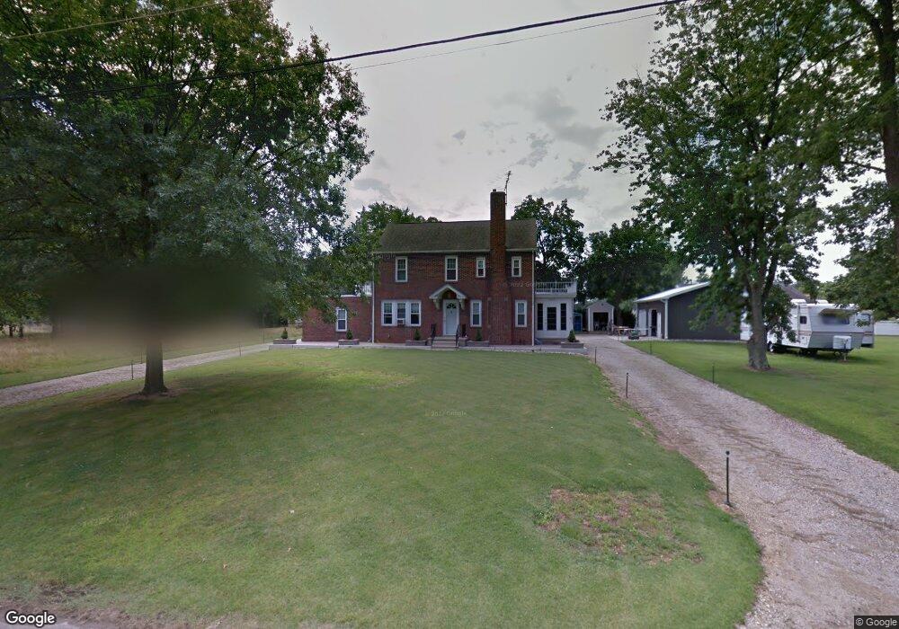
1291 Samuel Dr Vineland, NJ 08360
Estimated Value: $363,000 - $373,000
--
Bed
--
Bath
2,062
Sq Ft
$178/Sq Ft
Est. Value
About This Home
This home is located at 1291 Samuel Dr, Vineland, NJ 08360 and is currently estimated at $366,795, approximately $177 per square foot. 1291 Samuel Dr is a home located in Cumberland County with nearby schools including Dane Barse School, T.W. Wallace Middle School, and Vineland Senior High School.
Ownership History
Date
Name
Owned For
Owner Type
Purchase Details
Closed on
Apr 4, 2023
Sold by
Vertolli Frank A and Vertolli Caroline
Bought by
Feliciano Eustiquio and Feliciano Maritza
Current Estimated Value
Home Financials for this Owner
Home Financials are based on the most recent Mortgage that was taken out on this home.
Original Mortgage
$263,500
Outstanding Balance
$256,177
Interest Rate
6.6%
Mortgage Type
New Conventional
Estimated Equity
$110,618
Create a Home Valuation Report for This Property
The Home Valuation Report is an in-depth analysis detailing your home's value as well as a comparison with similar homes in the area
Home Values in the Area
Average Home Value in this Area
Purchase History
| Date | Buyer | Sale Price | Title Company |
|---|---|---|---|
| Feliciano Eustiquio | $310,000 | Fidelity National Title | |
| Feliciano Eustiquio | $310,000 | Fidelity National Title |
Source: Public Records
Mortgage History
| Date | Status | Borrower | Loan Amount |
|---|---|---|---|
| Open | Feliciano Eustiquio | $263,500 | |
| Closed | Feliciano Eustiquio | $263,500 |
Source: Public Records
Tax History Compared to Growth
Tax History
| Year | Tax Paid | Tax Assessment Tax Assessment Total Assessment is a certain percentage of the fair market value that is determined by local assessors to be the total taxable value of land and additions on the property. | Land | Improvement |
|---|---|---|---|---|
| 2025 | $5,301 | $169,100 | $33,300 | $135,800 |
| 2024 | $5,301 | $166,500 | $33,300 | $133,200 |
| 2023 | $5,266 | $166,500 | $33,300 | $133,200 |
| 2022 | $5,110 | $166,500 | $33,300 | $133,200 |
| 2021 | $4,767 | $166,500 | $33,300 | $133,200 |
| 2020 | $4,873 | $166,500 | $33,300 | $133,200 |
| 2019 | $4,807 | $166,500 | $33,300 | $133,200 |
| 2018 | $4,680 | $166,500 | $33,300 | $133,200 |
| 2017 | $4,446 | $166,500 | $33,300 | $133,200 |
| 2016 | $4,289 | $166,500 | $33,300 | $133,200 |
| 2015 | $3,881 | $166,500 | $33,300 | $133,200 |
| 2014 | $3,656 | $166,500 | $33,300 | $133,200 |
Source: Public Records
Map
Nearby Homes
- 559 Chestnut Terrace
- 1208 E Crescent Dr
- 1170 Chimes Terrace
- 127 Doren Terrace
- 656 Nottingham Dr
- 1457 W Landis Ave
- 1535 W Landis Ave
- 1040 Hickory Dr
- 1062 Hickory Dr
- 1050 Hickory Dr
- 0 W Landis Ave
- Juniper Plan at Walnut Ridge - Townhomes
- 1180 W Walnut Rd Unit F33
- 1064 W Walnut Rd
- 1799 W Landis Ave
- 1143 S Orchard Rd
- L:39 S Mill Rd
- 1146 S Delsea Dr
- 110 W Elmer St
- 1230 Almond Rd
- 1311 Samuel Dr
- 1273 Samuel Dr
- 1260 W Chestnut Ave
- 1310 W Chestnut Ave
- 1251 Samuel Dr
- 1270 Samuel Dr
- 1333 Samuel Dr
- 1246 W Chestnut Ave
- 1316 Samuel Dr
- 1332 W Chestnut Ave
- 1250 Samuel Dr
- 1233 Samuel Dr Unit 1223
- 1233 Samuel Dr Unit C0002
- 1231 Samuel Dr Unit C0001
- 1230 W Chestnut Ave
- 1353 Samuel Dr
- 1230 Samuel Dr
- 1352 W Chestnut Ave
- 1295 W Chestnut Ave
- 1371 Samuel Dr