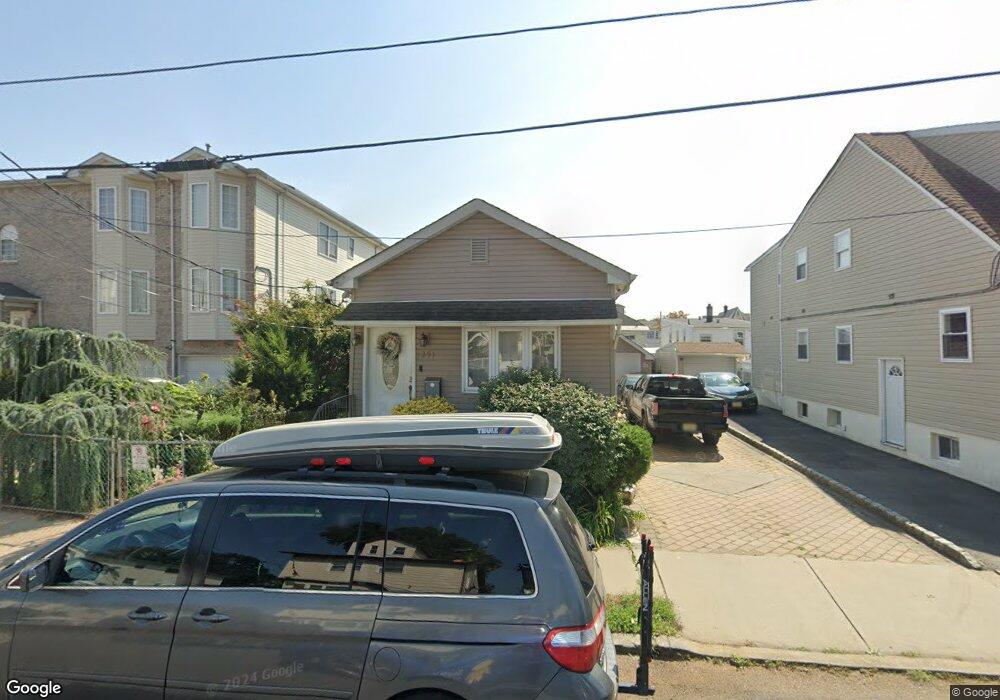
1291 State St Hillside, NJ 07205
Estimated Value: $378,340 - $480,000
Studio
--
Bath
496
Sq Ft
$870/Sq Ft
Est. Value
About This Home
This home is located at 1291 State St, Hillside, NJ 07205 and is currently estimated at $431,335, approximately $869 per square foot. 1291 State St is a home located in Union County with nearby schools including Abram P. Morris-Saybrook Elementary School, Hurden Looker School, and Ola Edwards Community School.
Ownership History
Date
Name
Owned For
Owner Type
Purchase Details
Closed on
May 6, 2016
Sold by
Lopez Ana I Ind & Admrx
Bought by
Raposo Dennis
Current Estimated Value
Home Financials for this Owner
Home Financials are based on the most recent Mortgage that was taken out on this home.
Original Mortgage
$74,000
Outstanding Balance
$58,774
Interest Rate
3.59%
Mortgage Type
New Conventional
Estimated Equity
$372,561
Purchase Details
Closed on
Feb 7, 2001
Sold by
Karapetrov Kirtcho
Bought by
Raposo Dinis
Home Financials for this Owner
Home Financials are based on the most recent Mortgage that was taken out on this home.
Original Mortgage
$36,000
Interest Rate
7.08%
Create a Home Valuation Report for This Property
The Home Valuation Report is an in-depth analysis detailing your home's value as well as a comparison with similar homes in the area
Home Values in the Area
Average Home Value in this Area
Purchase History
| Date | Buyer | Sale Price | Title Company |
|---|---|---|---|
| Raposo Dennis | $150,000 | -- | |
| Raposo Dinis | $66,000 | -- |
Source: Public Records
Mortgage History
| Date | Status | Borrower | Loan Amount |
|---|---|---|---|
| Open | Raposo Dennis | $74,000 | |
| Previous Owner | Raposo Dinis | $36,000 |
Source: Public Records
Tax History
| Year | Tax Paid | Tax Assessment Tax Assessment Total Assessment is a certain percentage of the fair market value that is determined by local assessors to be the total taxable value of land and additions on the property. | Land | Improvement |
|---|---|---|---|---|
| 2025 | $8,525 | $103,300 | $56,700 | $46,600 |
| 2024 | $8,277 | $103,300 | $56,700 | $46,600 |
| 2023 | $8,277 | $103,300 | $56,700 | $46,600 |
| 2022 | $8,201 | $103,300 | $56,700 | $46,600 |
| 2021 | $8,147 | $103,300 | $56,700 | $46,600 |
| 2020 | $8,100 | $103,300 | $56,700 | $46,600 |
| 2019 | $7,943 | $103,300 | $56,700 | $46,600 |
| 2018 | $7,863 | $103,300 | $56,700 | $46,600 |
| 2017 | $7,816 | $103,300 | $56,700 | $46,600 |
| 2016 | $7,806 | $103,300 | $56,700 | $46,600 |
| 2015 | $7,737 | $103,300 | $56,700 | $46,600 |
| 2014 | $7,615 | $103,300 | $56,700 | $46,600 |
Source: Public Records
Map
Nearby Homes
- 1318 State St
- 149 Baltimore Ave
- 128 Baltimore Ave
- 222 Boston Ave
- 260 Millard Ave
- 1414 Boa Place Unit 2
- 1406 Maple Ave
- 345 Sanford Ave
- 1431 Compton Terrace
- 1437 Parkview Terrace
- 420 Hollywood Ave
- 359 Harvard Ave
- 1442 Highland Ave
- 75 Hillside Ave
- 1038 Fairview Place
- 386 Yale Ave
- 339 Hillside Ave
- 339 Hillside Ave Unit 2
- 1426 Franklin St
- 137 Fairbanks St
- 1289 State St
- 1289 State St Unit 2
- 1293 State St
- 1290 Baker St Unit 2L
- 1290 Baker St Unit 1R
- 1290 Baker St Unit 2R
- 1295 State St
- 1287 State St
- 1292 Baker St
- 1288 Baker St
- 1284 Baker St
- 1301 State St
- 1292 State St
- 1290 State St
- 1285 State St
- 1298 State St
- 1280 State St
- 1300 Baker St
- 1305 State St
- 1300 State St
Your Personal Tour Guide
Ask me questions while you tour the home.