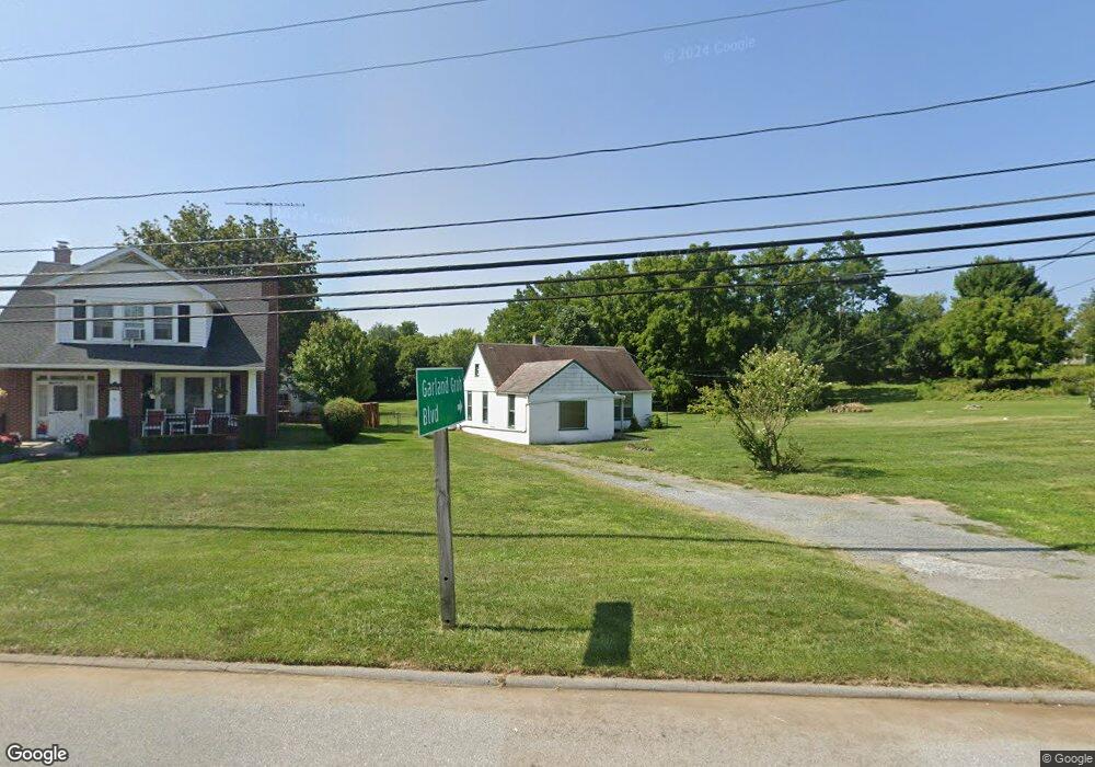
12910 Salem Ave Hagerstown, MD 21740
Estimated Value: $123,020
--
Bed
1
Bath
1,246
Sq Ft
$99/Sq Ft
Est. Value
About This Home
This home is located at 12910 Salem Ave, Hagerstown, MD 21740 and is currently priced at $123,020, approximately $98 per square foot. 12910 Salem Ave is a home located in Washington County with nearby schools including Jonathan Hager Elementary School, Owendale-Gagetown Junior/Senior High School, and Western Heights Middle School.
Ownership History
Date
Name
Owned For
Owner Type
Purchase Details
Closed on
Mar 14, 2025
Sold by
Panhandle Dumpsters Llc
Bought by
Hagerstown Real Property Llc
Current Estimated Value
Purchase Details
Closed on
Jun 24, 2024
Sold by
Manspeaker Betty Geneva and Bussard Nelson Richard
Bought by
Panhandle Dumpsters Llc
Purchase Details
Closed on
Oct 27, 2003
Sold by
Mowen Mary V
Bought by
Manspeaker Betty
Create a Home Valuation Report for This Property
The Home Valuation Report is an in-depth analysis detailing your home's value as well as a comparison with similar homes in the area
Home Values in the Area
Average Home Value in this Area
Purchase History
| Date | Buyer | Sale Price | Title Company |
|---|---|---|---|
| Hagerstown Real Property Llc | $125,000 | Lincoln Title | |
| Hagerstown Real Property Llc | $125,000 | Lincoln Title | |
| Panhandle Dumpsters Llc | $80,000 | None Listed On Document | |
| Panhandle Dumpsters Llc | $80,000 | None Listed On Document | |
| Manspeaker Betty | -- | -- |
Source: Public Records
Tax History Compared to Growth
Tax History
| Year | Tax Paid | Tax Assessment Tax Assessment Total Assessment is a certain percentage of the fair market value that is determined by local assessors to be the total taxable value of land and additions on the property. | Land | Improvement |
|---|---|---|---|---|
| 2025 | $1,784 | $169,233 | $0 | $0 |
| 2024 | $1,784 | $166,467 | $0 | $0 |
| 2023 | $1,702 | $163,700 | $147,300 | $16,400 |
| 2022 | $1,755 | $163,700 | $147,300 | $16,400 |
| 2021 | $1,795 | $163,700 | $147,300 | $16,400 |
| 2020 | $1,795 | $164,400 | $147,300 | $17,100 |
| 2019 | $1,803 | $164,400 | $147,300 | $17,100 |
| 2018 | $1,803 | $164,400 | $147,300 | $17,100 |
| 2017 | $1,803 | $164,400 | $0 | $0 |
| 2016 | -- | $154,133 | $0 | $0 |
| 2015 | -- | $143,867 | $0 | $0 |
| 2014 | $1,607 | $133,600 | $0 | $0 |
Source: Public Records
Map
Nearby Homes
- 12922 Salem Ave
- 12922 Nittany Lion Cir
- 13011 Nittany Lion Cir
- 18126 Demon Deacon Ct
- 370 Daycotah Ave
- 17656 Potter Bell Way
- 1361 Connecticut Ave
- 1362 Connecticut Ave
- 1355 Connecticut Ave
- 1328 Outer Dr
- 259 Daycotah Ave
- 511 Rhode Island Ave
- 1349 Cedarwood Dr
- 1321 Marshall St
- 1424 Outer Dr
- 1229 Wayne Ave
- 212 Daycotah Ave
- 17529 Patterson Dr
- 367 Devonshire Rd
- 325 Devonshire Rd
- 12908 Salem Ave
- 12904 Salem Ave
- 12916 Salem Ave
- 12900 Salem Ave
- 11708 Broadfording Rd
- 12909 Salem Ave
- 12913 Salem Ave
- 12839 Salem Ave
- 12924 Salem Ave
- 535537 Salem Ave
- 417419 Salem Ave
- 12919 Salem Ave
- 12926 Salem Ave
- 18003 Terps Blvd
- 12835 Salem Ave
- 12932 Salem Ave
- 12932 Salem Ave
- 18005 Terps Blvd
- 13000 Salem Ave
- 12936 Salem Ave