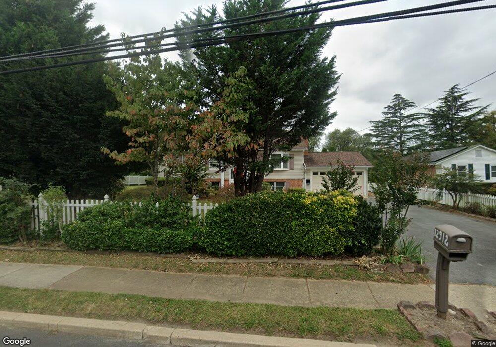
12912 New Hampshire Ave Silver Spring, MD 20904
Estimated Value: $532,903 - $656,000
--
Bed
2
Baths
1,754
Sq Ft
$339/Sq Ft
Est. Value
About This Home
This home is located at 12912 New Hampshire Ave, Silver Spring, MD 20904 and is currently estimated at $594,976, approximately $339 per square foot. 12912 New Hampshire Ave is a home located in Montgomery County with nearby schools including Jackson Road Elementary School, L'Anse Creuse Middle School - North, and Manton Consolidated Middle School.
Ownership History
Date
Name
Owned For
Owner Type
Purchase Details
Closed on
Oct 2, 1995
Sold by
Nguyen Phuc V
Bought by
Cung Dan D
Current Estimated Value
Home Financials for this Owner
Home Financials are based on the most recent Mortgage that was taken out on this home.
Original Mortgage
$112,500
Outstanding Balance
$812
Interest Rate
7.89%
Estimated Equity
$594,164
Create a Home Valuation Report for This Property
The Home Valuation Report is an in-depth analysis detailing your home's value as well as a comparison with similar homes in the area
Home Values in the Area
Average Home Value in this Area
Purchase History
| Date | Buyer | Sale Price | Title Company |
|---|---|---|---|
| Cung Dan D | $150,000 | -- |
Source: Public Records
Mortgage History
| Date | Status | Borrower | Loan Amount |
|---|---|---|---|
| Open | Cung Dan D | $112,500 |
Source: Public Records
Tax History Compared to Growth
Tax History
| Year | Tax Paid | Tax Assessment Tax Assessment Total Assessment is a certain percentage of the fair market value that is determined by local assessors to be the total taxable value of land and additions on the property. | Land | Improvement |
|---|---|---|---|---|
| 2025 | $5,437 | $432,933 | -- | -- |
| 2024 | $5,437 | $407,667 | $0 | $0 |
| 2023 | $4,419 | $382,400 | $226,500 | $155,900 |
| 2022 | $4,057 | $371,067 | $0 | $0 |
| 2021 | $2,756 | $359,733 | $0 | $0 |
| 2020 | $2,756 | $348,400 | $226,500 | $121,900 |
| 2019 | $3,620 | $344,133 | $0 | $0 |
| 2018 | $3,553 | $339,867 | $0 | $0 |
| 2017 | $3,567 | $335,600 | $0 | $0 |
| 2016 | -- | $327,100 | $0 | $0 |
| 2015 | $3,606 | $318,600 | $0 | $0 |
| 2014 | $3,606 | $310,100 | $0 | $0 |
Source: Public Records
Map
Nearby Homes
- 12821 Baker Dr
- 7 Shaw Ave
- 13118 New Hampshire Ave
- 13132 Kara Ln
- 13152 Kara Ln
- 605 Rosemere Ave
- 12608 Norcross Ct
- 605 Winhall Way
- 12503 Meadowood Dr
- 6 & 10 Vital Way
- 708 Hollywood Ave
- 12509 White Dr
- 713 Anderson St
- 206 Shaw Ave
- 12814 Greenbriar St
- 716 Downs Dr
- 13137 Broadmore Rd
- 13165 Broadmore Rd
- 12805 Broadmore Rd
- 12811 Tamarack Rd
- 12914 New Hampshire Ave
- 12910 New Hampshire Ave
- 12817 Baker Dr
- 12813 Baker Dr
- 12908 New Hampshire Ave
- 400 Winterthur Ct
- 12825 Baker Dr
- 12809 Baker Dr
- 401 Winterthur Ct
- 402 Winterthur Ct
- 12906 New Hampshire Ave
- 12918 New Hampshire Ave
- 12805 Baker Dr
- 405 E Shaw Ave
- 12814 Baker Dr
- 502 Hexton Hill Rd
- 401 E Shaw Ave
- 403 Winterthur Ct
- 404 Winterthur Ct
- 12900 New Hampshire Ave