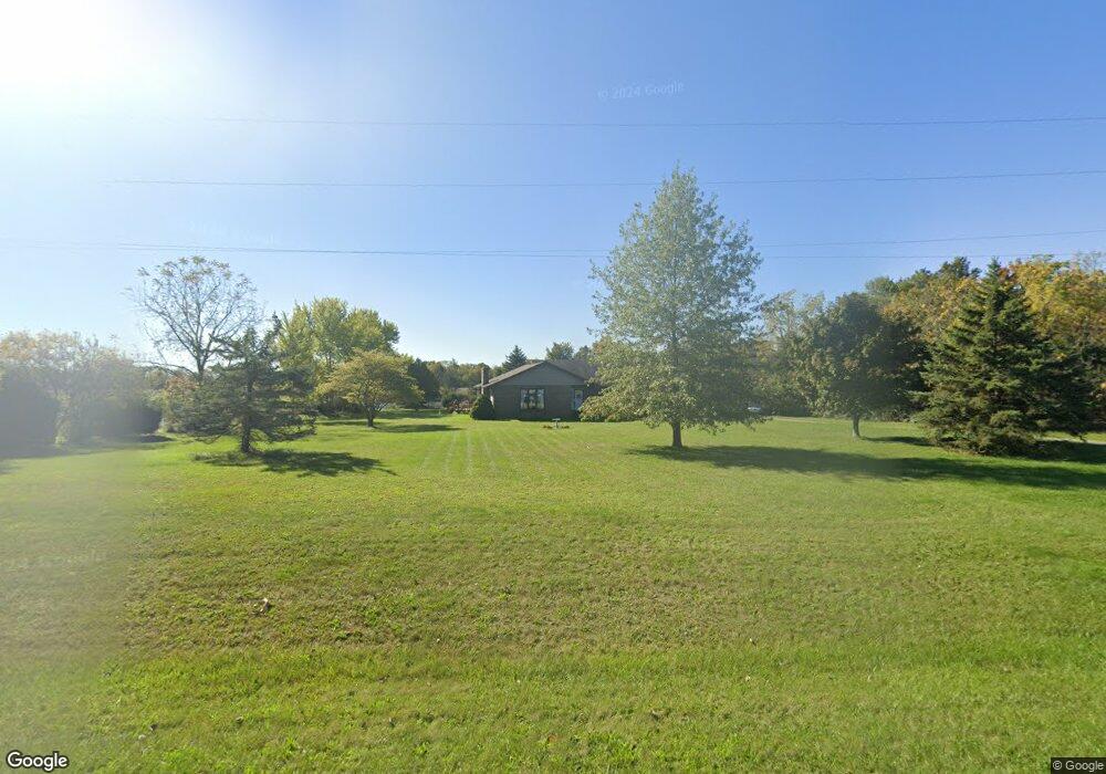
12916 Canning Factory Rd Wapakoneta, OH 45895
Estimated Value: $250,000 - $315,000
3
Beds
2
Baths
1,590
Sq Ft
$183/Sq Ft
Est. Value
About This Home
This home is located at 12916 Canning Factory Rd, Wapakoneta, OH 45895 and is currently estimated at $290,593, approximately $182 per square foot. 12916 Canning Factory Rd is a home located in Auglaize County with nearby schools including Wapakoneta Elementary School, Wapakoneta High School, and Wapakoneta Middle School.
Ownership History
Date
Name
Owned For
Owner Type
Purchase Details
Closed on
Apr 15, 2011
Sold by
Katterhenry Doloros M and Katterhenry Douglas L
Bought by
Katerhenry Douglas L and Olds Sharon D
Current Estimated Value
Purchase Details
Closed on
Feb 24, 1994
Sold by
Katterhenry Dolores
Bought by
Katterhenry Douglas L
Purchase Details
Closed on
Aug 24, 1990
Bought by
Katterhenry Dolores
Create a Home Valuation Report for This Property
The Home Valuation Report is an in-depth analysis detailing your home's value as well as a comparison with similar homes in the area
Home Values in the Area
Average Home Value in this Area
Purchase History
| Date | Buyer | Sale Price | Title Company |
|---|---|---|---|
| Katerhenry Douglas L | -- | Attorney | |
| Katterhenry Douglas L | -- | -- | |
| Katterhenry Dolores | $1,600 | -- |
Source: Public Records
Tax History Compared to Growth
Tax History
| Year | Tax Paid | Tax Assessment Tax Assessment Total Assessment is a certain percentage of the fair market value that is determined by local assessors to be the total taxable value of land and additions on the property. | Land | Improvement |
|---|---|---|---|---|
| 2024 | $4,421 | $85,680 | $7,420 | $78,260 |
| 2023 | $2,511 | $85,680 | $7,420 | $78,260 |
| 2022 | $1,877 | $61,130 | $6,790 | $54,340 |
| 2021 | $1,857 | $61,130 | $6,790 | $54,340 |
| 2020 | $1,860 | $61,135 | $6,794 | $54,341 |
| 2019 | $1,565 | $51,240 | $5,663 | $45,577 |
| 2018 | $1,570 | $51,240 | $5,663 | $45,577 |
| 2017 | $1,560 | $51,240 | $5,663 | $45,577 |
| 2016 | $1,336 | $45,304 | $5,390 | $39,914 |
| 2015 | $1,648 | $45,304 | $5,390 | $39,914 |
| 2014 | $1,311 | $45,304 | $5,390 | $39,914 |
| 2013 | $1,342 | $45,304 | $5,390 | $39,914 |
Source: Public Records
Map
Nearby Homes
- 12864 Canning Factory Rd
- 12850 Canning Factory Rd
- 12808 Canning Factory Rd
- 13132 Canning Factory Rd
- 936 Sunrise Dr
- 12634 Canning Factory Rd
- 24 Summerplace Dr
- 932 Sunrise Dr
- 1010 Springwood Ln
- 1109 Ridge St
- 1114 Ridge St
- 13946 Hardin Pike Rd
- 0 Ashland Ave
- 928 Sunrise Dr
- 139 Winterhaven Dr
- 13978 Hardin Pike Rd