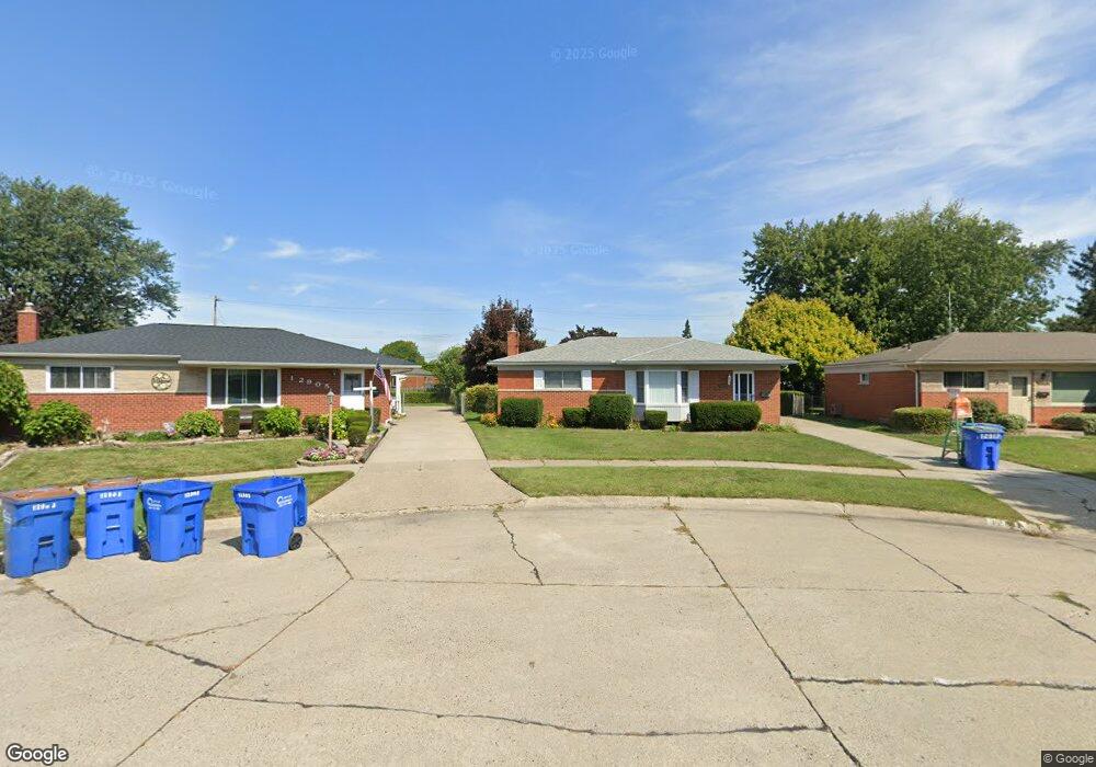
12917 Jan Dr Warren, MI 48088
Northeast Warren NeighborhoodEstimated Value: $238,908 - $258,000
3
Beds
1
Bath
1,066
Sq Ft
$235/Sq Ft
Est. Value
About This Home
This home is located at 12917 Jan Dr, Warren, MI 48088 and is currently estimated at $250,477, approximately $234 per square foot. 12917 Jan Dr is a home located in Macomb County with nearby schools including Warren Woods Tower High School and Frontier International Academy Elementary.
Ownership History
Date
Name
Owned For
Owner Type
Purchase Details
Closed on
Jan 10, 2013
Sold by
Bank Of America Na
Bought by
Fannie Mae and Federal National Mortgage Association
Current Estimated Value
Purchase Details
Closed on
Dec 28, 2012
Sold by
Hubner Latonia M
Bought by
Bank Of America
Purchase Details
Closed on
Sep 7, 2010
Sold by
Brennan Nancy J
Bought by
Hubner Latonia M
Purchase Details
Closed on
Aug 30, 1996
Sold by
Hayden D and Hayden C
Bought by
Brennan N
Create a Home Valuation Report for This Property
The Home Valuation Report is an in-depth analysis detailing your home's value as well as a comparison with similar homes in the area
Home Values in the Area
Average Home Value in this Area
Purchase History
| Date | Buyer | Sale Price | Title Company |
|---|---|---|---|
| Fannie Mae | -- | None Available | |
| Bank Of America | $66,891 | None Available | |
| Hubner Latonia M | $82,500 | Greater Macomb Title Agency | |
| Brennan N | $102,000 | -- |
Source: Public Records
Tax History
| Year | Tax Paid | Tax Assessment Tax Assessment Total Assessment is a certain percentage of the fair market value that is determined by local assessors to be the total taxable value of land and additions on the property. | Land | Improvement |
|---|---|---|---|---|
| 2025 | $2,813 | $106,040 | $0 | $0 |
| 2024 | $27 | $102,340 | $0 | $0 |
| 2023 | $2,593 | $92,470 | $0 | $0 |
| 2022 | $2,542 | $82,540 | $0 | $0 |
| 2021 | $2,495 | $75,590 | $0 | $0 |
| 2020 | $2,391 | $70,470 | $0 | $0 |
| 2019 | $2,284 | $65,340 | $0 | $0 |
| 2018 | $2,307 | $56,690 | $0 | $0 |
| 2017 | $2,182 | $51,580 | $9,980 | $41,600 |
| 2016 | $2,165 | $51,580 | $0 | $0 |
| 2015 | -- | $46,380 | $0 | $0 |
| 2012 | -- | $42,810 | $0 | $0 |
Source: Public Records
Map
Nearby Homes
- 12855 Ray Dr
- 12876 Martin Rd
- 28127 Suburban Dr
- 27177 Shelbourne Dr
- 13517 Yvonne Dr
- 13510 Angela Dr
- 11960 E Fort Lauderdale St
- 12291 E 11 Mile Rd
- 28540 Roan Dr
- 27483 Norma Dr
- 27260 Norma Dr
- 27480 Shackett Ave
- 26703 Dover Ct
- 26632 Marilyn Ave
- 27226 Bradner Dr
- 13019 Stanley Dr
- 26608 Marilyn Ave
- 26640 Schoenherr Rd
- 14021 Huff Dr
- 29105 Palomino Dr
Your Personal Tour Guide
Ask me questions while you tour the home.