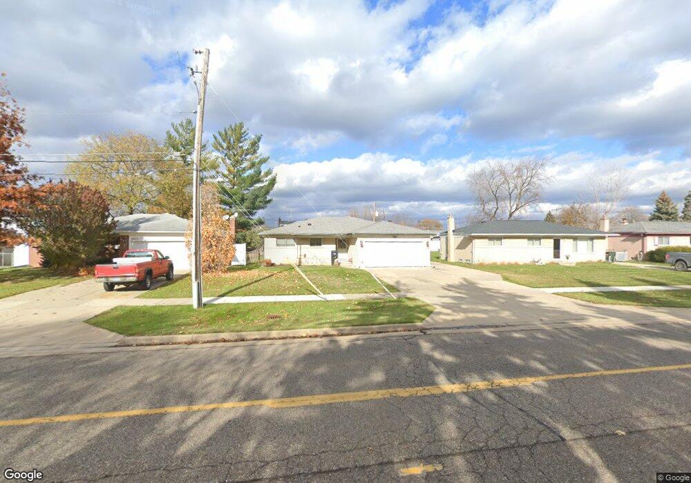
12919 Plumbrook Rd Sterling Heights, MI 48312
Estimated Value: $260,301 - $299,000
--
Bed
1
Bath
1,375
Sq Ft
$210/Sq Ft
Est. Value
About This Home
This home is located at 12919 Plumbrook Rd, Sterling Heights, MI 48312 and is currently estimated at $288,575, approximately $209 per square foot. 12919 Plumbrook Rd is a home located in Macomb County with nearby schools including Dekeyser Elementary School, Davis Junior High School, and Adlai Stevenson High School.
Ownership History
Date
Name
Owned For
Owner Type
Purchase Details
Closed on
Jan 25, 2013
Sold by
Cipponeri Rosario and Cipponeri Concetta
Bought by
Cipponeri Concetta and Cipponeri Rosario
Current Estimated Value
Create a Home Valuation Report for This Property
The Home Valuation Report is an in-depth analysis detailing your home's value as well as a comparison with similar homes in the area
Home Values in the Area
Average Home Value in this Area
Purchase History
| Date | Buyer | Sale Price | Title Company |
|---|---|---|---|
| Cipponeri Concetta | -- | None Available |
Source: Public Records
Tax History Compared to Growth
Tax History
| Year | Tax Paid | Tax Assessment Tax Assessment Total Assessment is a certain percentage of the fair market value that is determined by local assessors to be the total taxable value of land and additions on the property. | Land | Improvement |
|---|---|---|---|---|
| 2025 | $3,096 | $145,400 | $0 | $0 |
| 2024 | $2,832 | $136,900 | $0 | $0 |
| 2023 | $2,673 | $123,200 | $0 | $0 |
| 2022 | $2,787 | $113,900 | $0 | $0 |
| 2021 | $2,729 | $107,100 | $0 | $0 |
| 2020 | $2,434 | $102,100 | $0 | $0 |
| 2019 | $2,494 | $96,600 | $0 | $0 |
| 2018 | $2,522 | $89,600 | $0 | $0 |
| 2017 | $2,409 | $85,600 | $12,900 | $72,700 |
| 2016 | $2,328 | $85,600 | $0 | $0 |
| 2015 | -- | $75,900 | $0 | $0 |
| 2014 | -- | $62,700 | $0 | $0 |
Source: Public Records
Map
Nearby Homes
- 13000 Plumbrook Rd
- 13314 Denver Cir W
- 13311 Picadilly Dr
- 37383 Golfview Dr Unit 76
- 38171 Jamestown Dr Unit 116
- 37151 Golfview Dr
- 37343 Clubhouse Dr
- 38146 Jamestown Dr Unit 86
- 13386 Winona Dr
- 13466 Denver Cir E
- 13470 Denver Cir E
- 37611 Badger Dr
- 12816 Kinlock Dr
- 37122 Clubhouse Dr Unit 88
- 37122 Clubhouse Dr
- 11859 Fairview Dr
- 12312 Cabot Dr
- 11820 Creekview Dr Unit 54
- 37095 Nottingham Dr Unit 11
- 39275 Della Rosa Dr
- 12937 Plumbrook Rd
- 12871 Plumbrook Rd
- 12853 Plumbrook Rd
- 12955 Plumbrook Rd
- 12922 Brierstone Dr
- 12874 Brierstone Dr
- 12940 Brierstone Dr
- 12958 Brierstone Dr
- 12856 Brierstone Dr
- 12973 Plumbrook Rd
- 12835 Plumbrook Rd
- 12976 Brierstone Dr
- 12838 Brierstone Dr
- 13015 Plumbrook Rd
- 12850 Plumbrook Rd
- 12870 Plumbrook Rd
- 13018 Brierstone Dr
- 12820 Brierstone Dr
- 12921 Brierstone Dr
- 12939 Brierstone Dr