12919 Rodal Acres de Soto, MO 63020
Estimated Value: $289,000 - $337,188
--
Bed
--
Bath
3,464
Sq Ft
$91/Sq Ft
Est. Value
About This Home
This home is located at 12919 Rodal Acres, de Soto, MO 63020 and is currently estimated at $314,396, approximately $90 per square foot. 12919 Rodal Acres is a home located in Jefferson County with nearby schools including De Soto Senior High School.
Ownership History
Date
Name
Owned For
Owner Type
Purchase Details
Closed on
Aug 30, 2005
Sold by
Vancil Margaret and Trust Of Margaret Hurston
Bought by
Barker Jonathan T and Barker Elaine M
Current Estimated Value
Home Financials for this Owner
Home Financials are based on the most recent Mortgage that was taken out on this home.
Original Mortgage
$173,600
Outstanding Balance
$92,072
Interest Rate
5.81%
Mortgage Type
Fannie Mae Freddie Mac
Estimated Equity
$222,324
Purchase Details
Closed on
Feb 26, 2001
Sold by
Vancil Billie R
Bought by
Vancil Terry W and Bess Jacqueline Sue
Purchase Details
Closed on
Jul 25, 1997
Sold by
Hurston Margaret
Bought by
Vancil Billie R
Create a Home Valuation Report for This Property
The Home Valuation Report is an in-depth analysis detailing your home's value as well as a comparison with similar homes in the area
Home Values in the Area
Average Home Value in this Area
Purchase History
| Date | Buyer | Sale Price | Title Company |
|---|---|---|---|
| Barker Jonathan T | -- | U S Title Guaranty Company | |
| Vancil Terry W | -- | -- | |
| Vancil Billie R | -- | -- |
Source: Public Records
Mortgage History
| Date | Status | Borrower | Loan Amount |
|---|---|---|---|
| Open | Barker Jonathan T | $173,600 |
Source: Public Records
Tax History Compared to Growth
Tax History
| Year | Tax Paid | Tax Assessment Tax Assessment Total Assessment is a certain percentage of the fair market value that is determined by local assessors to be the total taxable value of land and additions on the property. | Land | Improvement |
|---|---|---|---|---|
| 2025 | $1,759 | $27,300 | $1,500 | $25,800 |
| 2024 | $1,759 | $25,400 | $1,500 | $23,900 |
| 2023 | $1,759 | $25,400 | $1,500 | $23,900 |
| 2022 | $1,754 | $25,400 | $1,500 | $23,900 |
| 2021 | $1,751 | $25,400 | $1,500 | $23,900 |
| 2020 | $1,628 | $22,900 | $1,200 | $21,700 |
| 2019 | $1,626 | $22,900 | $1,200 | $21,700 |
| 2018 | $1,626 | $22,900 | $1,200 | $21,700 |
| 2017 | $1,543 | $22,900 | $1,200 | $21,700 |
| 2016 | $1,415 | $20,643 | $1,243 | $19,400 |
| 2015 | $1,259 | $20,643 | $1,243 | $19,400 |
| 2013 | $1,259 | $19,800 | $1,200 | $18,600 |
Source: Public Records
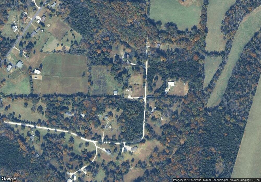
Map
Nearby Homes
- 12987 Kimberly Ln
- 709 Eberhardt Ln
- 3375 Upper Plattin Rd
- 13250 Pallme Ln
- 12753 Hencher Rd
- 2946 Marathon Dr
- 2942 Marathon Dr
- 12767 Deer Hollow
- 2812 Parthenon Dr
- 2830 El Portal Dr
- 330 Kronos Dr
- 2714 Ganymedes Ct
- 311 Orion Dr
- 0 Zeus Place
- 12678 Hyfield Rd
- 205 Phidias Place
- 0 Boreas Dr
- 3700 Wild Turkey Trail
- 1037 Wild Raven Rd
- 5224 Hobby Farms Dr
- 12925 Rodal Acres
- 12907 Rodal Acres
- 12937 Rodal Acres
- 12918 Rodal Acres
- 12912 Rodal Acres
- 12924 Rodal Acres
- 12906 Rodal Acres
- 12901 Rodal Acres
- 12928 Rodal Acres
- 0 Kimberly Ln
- 3366 Armbruster Rd
- 12942 Rodal Acres
- 3372 Armbruster Rd
- 3360 Armbruster Rd
- 3354 Armbruster Rd
- 3348 Armbruster Rd
- 3337 Armbruster Rd
- 3361 Armbruster Rd
- 3399 Armbruster Rd
- 3319 Armbruster Rd