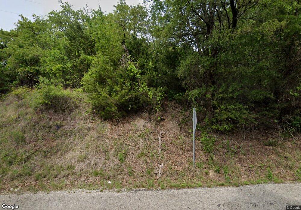
1292 County Road 2585 Alvord, TX 76225
Estimated Value: $221,000 - $347,000
--
Bed
1
Bath
1,084
Sq Ft
$275/Sq Ft
Est. Value
About This Home
This home is located at 1292 County Road 2585, Alvord, TX 76225 and is currently estimated at $297,752, approximately $274 per square foot. 1292 County Road 2585 is a home located in Wise County with nearby schools including Alvord Elementary School, Alvord Middle School, and Alvord High School.
Ownership History
Date
Name
Owned For
Owner Type
Purchase Details
Closed on
Apr 19, 2001
Sold by
Alvord 35 Acre Joint Venture
Bought by
Hopson Robert R
Current Estimated Value
Purchase Details
Closed on
Sep 20, 2000
Sold by
Darling Robert M
Bought by
Hopson Robert R
Purchase Details
Closed on
Jul 28, 2000
Sold by
Alvord 35 Joint Venture
Bought by
Hopson Robert R
Purchase Details
Closed on
Oct 5, 1999
Sold by
Ortiz Santos and Ortiz Leslie
Bought by
Hopson Robert R
Purchase Details
Closed on
Mar 4, 1997
Bought by
Hopson Robert R
Purchase Details
Closed on
Jan 17, 1996
Bought by
Hopson Robert R
Purchase Details
Closed on
Jan 17, 1995
Bought by
Hopson Robert R
Create a Home Valuation Report for This Property
The Home Valuation Report is an in-depth analysis detailing your home's value as well as a comparison with similar homes in the area
Home Values in the Area
Average Home Value in this Area
Purchase History
| Date | Buyer | Sale Price | Title Company |
|---|---|---|---|
| Hopson Robert R | -- | -- | |
| Hopson Robert R | -- | -- | |
| Hopson Robert R | -- | -- | |
| Hopson Robert R | -- | -- | |
| Hopson Robert R | -- | -- | |
| Hopson Robert R | -- | -- | |
| Hopson Robert R | -- | -- |
Source: Public Records
Tax History Compared to Growth
Tax History
| Year | Tax Paid | Tax Assessment Tax Assessment Total Assessment is a certain percentage of the fair market value that is determined by local assessors to be the total taxable value of land and additions on the property. | Land | Improvement |
|---|---|---|---|---|
| 2025 | $1,339 | $214,242 | -- | -- |
| 2024 | $1,339 | $194,765 | $0 | $0 |
| 2023 | $2,102 | $177,059 | $0 | $0 |
| 2022 | $2,484 | $160,963 | $0 | $0 |
| 2021 | $2,402 | $146,330 | $62,500 | $83,830 |
| 2020 | $2,423 | $146,330 | $62,500 | $83,830 |
| 2019 | $2,586 | $146,330 | $62,500 | $83,830 |
| 2018 | $2,401 | $139,730 | $55,000 | $84,730 |
| 2017 | $2,182 | $124,910 | $40,000 | $84,910 |
| 2016 | $1,984 | $121,510 | $37,500 | $84,010 |
| 2015 | -- | $110,440 | $36,250 | $74,190 |
| 2014 | -- | $110,440 | $36,250 | $74,190 |
Source: Public Records
Map
Nearby Homes
- TBD Cr 2675
- 105 Brooke Dr
- 125 Brooke Dr
- 117 Brooke Dr
- 113 Brooke Dr
- 121 Brooke Dr
- 109 Brooke Dr
- 109 Beth Ave
- 144 Brook Dr
- 129 Brooke Dr
- 113 Beth Ave
- 2075 County Road 2585
- 1230 County Road 2475
- 1200 County Road 2475
- 4507 County Road 2690
- 4519 Cr 2690
- 4519 County Road 2690
- 1006 County Road 2475
- TBD Cr-2690 Rd
- TBD S Farm To Market Road 1655
- 1382 County Road 2585
- 114 County Road 2475
- 114 County Road 2475
- 10a Tbd County Road 2475
- 1052 County Road 2585
- 1052 County Road 2585
- 1038 County Road 2585
- 1038 County Road 2585
- 1004 County Road 2585
- TBD Tbd17 County Road 2475
- 130 Private Road 2571
- 126 Private Road 2571
- TBD County Road 2690
- 734 County Road 2585
- 2591 County Road 2690
