1292 Greene 632 Rd Paragould, AR 72450
Estimated Value: $222,000 - $273,000
--
Bed
--
Bath
1,904
Sq Ft
$130/Sq Ft
Est. Value
About This Home
This home is located at 1292 Greene 632 Rd, Paragould, AR 72450 and is currently estimated at $246,723, approximately $129 per square foot. 1292 Greene 632 Rd is a home with nearby schools including Paragould High School.
Ownership History
Date
Name
Owned For
Owner Type
Purchase Details
Closed on
Sep 4, 2002
Bought by
Brooks
Current Estimated Value
Purchase Details
Closed on
Jul 17, 2002
Bought by
Brooks
Purchase Details
Closed on
Jun 25, 2002
Bought by
Certified Lands For 1999 Of Co
Purchase Details
Closed on
Jun 14, 2002
Bought by
First Natl Bk Blytheville
Purchase Details
Closed on
Jun 6, 1997
Bought by
Woods
Purchase Details
Closed on
Jun 2, 1997
Bought by
Clark
Purchase Details
Closed on
Jan 17, 1996
Bought by
Clark
Create a Home Valuation Report for This Property
The Home Valuation Report is an in-depth analysis detailing your home's value as well as a comparison with similar homes in the area
Home Values in the Area
Average Home Value in this Area
Purchase History
| Date | Buyer | Sale Price | Title Company |
|---|---|---|---|
| Brooks | $1,300 | -- | |
| Brooks | $75,000 | -- | |
| Certified Lands For 1999 Of Co | -- | -- | |
| First Natl Bk Blytheville | -- | -- | |
| Woods | $80,000 | -- | |
| Clark | -- | -- | |
| Clark | $15,000 | -- |
Source: Public Records
Tax History Compared to Growth
Tax History
| Year | Tax Paid | Tax Assessment Tax Assessment Total Assessment is a certain percentage of the fair market value that is determined by local assessors to be the total taxable value of land and additions on the property. | Land | Improvement |
|---|---|---|---|---|
| 2025 | $1,195 | $37,270 | $9,750 | $27,520 |
| 2024 | $1,195 | $37,270 | $9,750 | $27,520 |
| 2023 | $1,095 | $27,850 | $8,200 | $19,650 |
| 2022 | $720 | $27,850 | $8,200 | $19,650 |
| 2021 | $670 | $27,850 | $8,200 | $19,650 |
| 2020 | $996 | $22,020 | $4,320 | $17,700 |
| 2019 | $621 | $22,020 | $4,320 | $17,700 |
| 2018 | $646 | $22,020 | $4,320 | $17,700 |
| 2017 | $974 | $22,020 | $4,320 | $17,700 |
| 2016 | $624 | $22,020 | $4,320 | $17,700 |
| 2015 | $870 | $22,260 | $4,320 | $17,940 |
| 2014 | $870 | $22,260 | $4,320 | $17,940 |
Source: Public Records
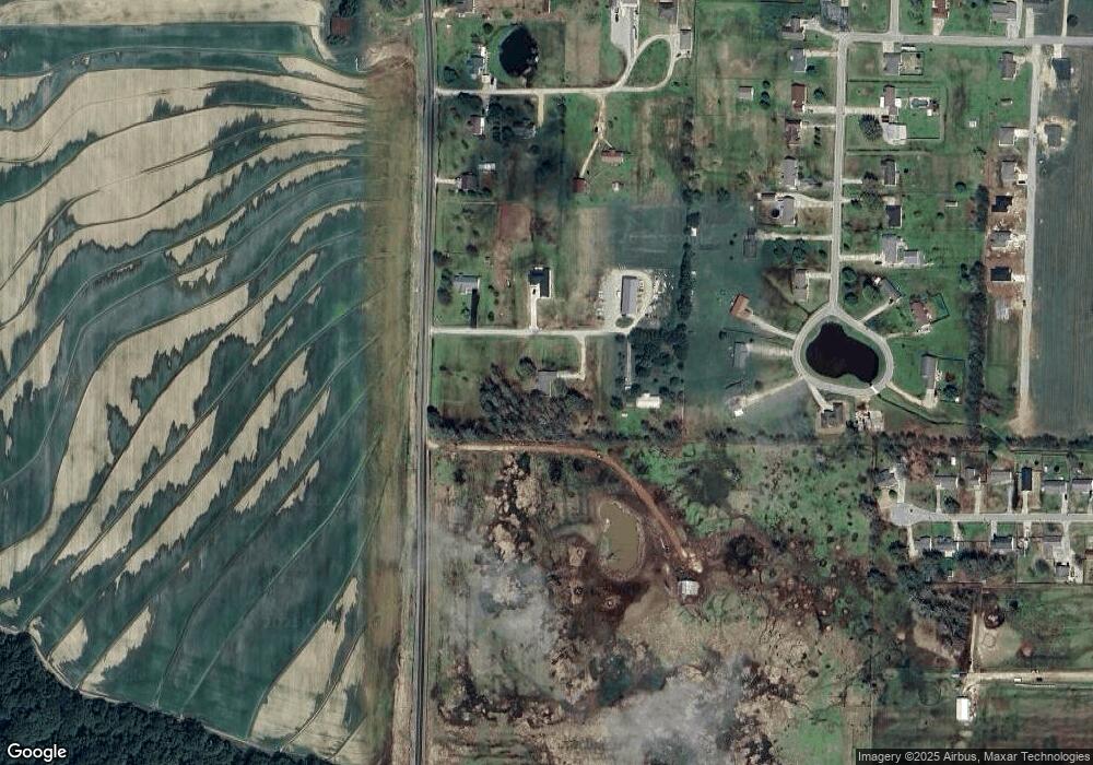
Map
Nearby Homes
- 522 Vaughn Dr
- 193 Granny Jean Ln
- 233 Lois Ln
- 422 Sunset Dr
- 44 Oak Grove Rd
- 205 Raymond
- 181 Misty Marie
- 146 Messer Dr
- 3613 Purcell Rd
- 3505 Purcell Rd
- Tract 4 Greene 726 Rd
- Tract 3 Greene 726 Rd
- Tract 2 Greene 726 Rd
- 000 Hwy 412 Byp Everett Dr
- 714 Thorne Dr
- 2300 Mount Carmel Rd
- 0 Hwy 49s Unit 10124883
- 3407 Sweet Gum St
- 3505 Sweet Gum St
- 0 Acres Highway 49n Unit 10121154
- 1306 Cornbread Corner Rd
- 0 Gr 632 Rd Unit 17009149
- 1.5+/- Gr 632 Rd
- 542 Vaughn Dr
- 101 Greene 645 Rd
- 135 Greene 645 Rd
- 502 Vaughn Dr
- 1434 Greene Road 632
- 410 Vaughn Dr
- 458 Vaughn Dr
- 1444 Greene 632 Rd
- 390 Vaughn Dr
- 370 Vaughn Dr
- 1460 Greene 632 Rd
- 459 Vaughn Dr
- 350 Vaughn Dr
- 0 Vaughn Dr
- 420 Lois Ln
- 330 Vaughn Dr
- 652 Vaughn Dr