Estimated Value: $264,000 - $312,000
3
Beds
2
Baths
3,002
Sq Ft
$94/Sq Ft
Est. Value
About This Home
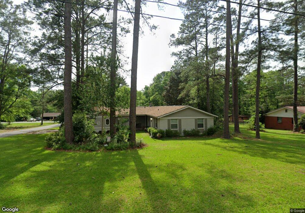
This home is located at 1292 Platt Ave, Cairo, GA 39828 and is currently estimated at $281,720, approximately $93 per square foot. 1292 Platt Ave is a home with nearby schools including Cairo High School.
Ownership History
Date
Name
Owned For
Owner Type
Purchase Details
Closed on
Mar 26, 2025
Sold by
Warren R Bruce
Bought by
Parramore Margaret B and Parramore Paul
Current Estimated Value
Purchase Details
Closed on
Jan 23, 2024
Sold by
Warren R Bruce
Bought by
Parramore Margaret and Parramore Paul E
Purchase Details
Closed on
Jun 3, 1997
Bought by
Warren R Bruce
Purchase Details
Closed on
Mar 9, 1987
Bought by
Parramore Paul
Create a Home Valuation Report for This Property
The Home Valuation Report is an in-depth analysis detailing your home's value as well as a comparison with similar homes in the area
Purchase History
| Date | Buyer | Sale Price | Title Company |
|---|---|---|---|
| Parramore Margaret B | -- | -- | |
| Parramore Margaret | -- | -- | |
| Warren R Bruce | $1,100 | -- | |
| Parramore Paul | $68,000 | -- |
Source: Public Records
Tax History
| Year | Tax Paid | Tax Assessment Tax Assessment Total Assessment is a certain percentage of the fair market value that is determined by local assessors to be the total taxable value of land and additions on the property. | Land | Improvement |
|---|---|---|---|---|
| 2025 | $3,506 | $116,462 | $9,100 | $107,362 |
| 2024 | $3,506 | $105,686 | $9,100 | $96,586 |
| 2023 | $2,418 | $65,336 | $7,804 | $57,532 |
| 2022 | $2,601 | $67,544 | $7,804 | $59,740 |
| 2021 | $2,608 | $67,544 | $7,804 | $59,740 |
| 2020 | $2,615 | $67,544 | $7,804 | $59,740 |
| 2019 | $2,614 | $67,544 | $7,804 | $59,740 |
| 2018 | $2,485 | $67,544 | $7,804 | $59,740 |
| 2017 | $2,390 | $67,544 | $7,804 | $59,740 |
| 2016 | $2,105 | $58,184 | $7,804 | $50,380 |
| 2015 | $2,084 | $58,184 | $7,804 | $50,380 |
| 2014 | $2,085 | $58,184 | $7,804 | $50,380 |
| 2013 | -- | $57,448 | $7,804 | $49,644 |
Source: Public Records
Map
Nearby Homes
- 1406 Platt Ave
- 1405 Platt Ave
- 306 Midland Place
- 530 6th St
- 1193 S Broad St
- 198 Oakdale Rd SE
- 130 17th Ave SE
- 112 Cakebread Dr
- 530 6th Ave SE
- 117 SW Pine Cirlce
- 580 5th St SE
- 112 Pine Cir SW
- 1870 Oakdale Rd SE
- 1891 Lakewood Dr SE
- 460 2nd St SW
- 000 S Broad St
- 309 3rd St SE
- 592 20th St SE
- 0 111 Hwy Unit 396477
- X 1st St
- 1276 Platt Ave
- 351 Grady St SE
- 1259 Emerson Ave SE
- 1253 Platt Ave
- 1244 Emerson Ave SE
- 310 Grady St SE
- 1264 Emerson Ave SE
- 1310 Platt Ave
- 1225 Platt Ave
- 1218 Platt Ave
- 1279 Emerson Ave SE
- 1290 Stone Ave
- 1270 Stone Ave
- 1312 Platt Ave
- 00 Emerson Ave
- 1284 Emerson Ave SE
- 1358 Stone Ave
- 1240 Stone Ave
- 336 Buchannan St SE
- 00 Emerson Ave
Your Personal Tour Guide
Ask me questions while you tour the home.