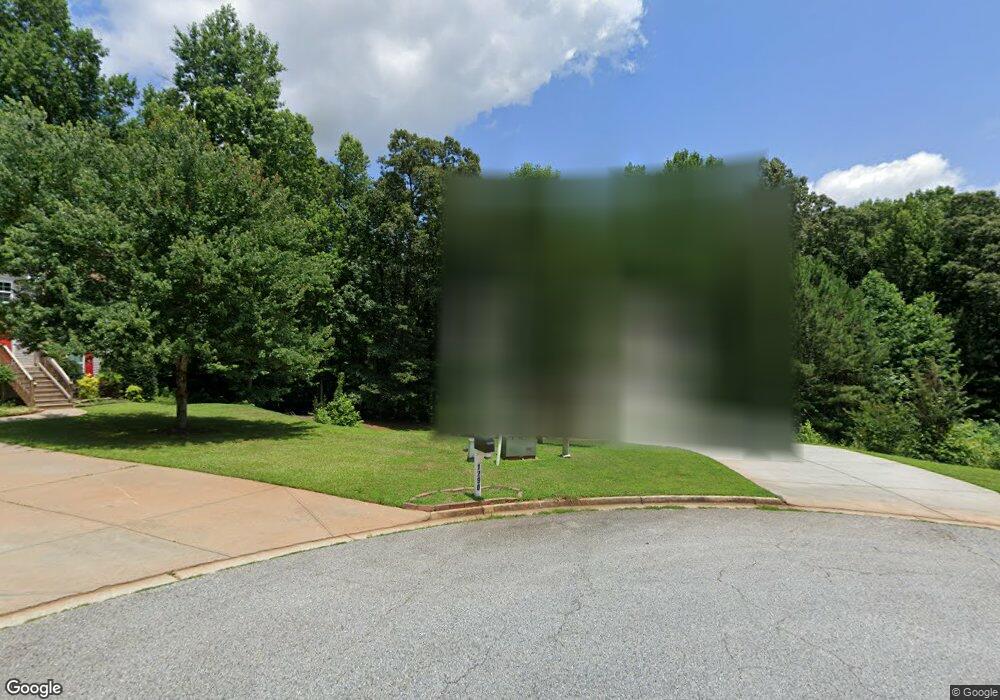
1292 Walnut Dr Winder, GA 30680
Estimated Value: $328,976 - $396,000
--
Bed
3
Baths
1,880
Sq Ft
$190/Sq Ft
Est. Value
About This Home
This home is located at 1292 Walnut Dr, Winder, GA 30680 and is currently estimated at $356,494, approximately $189 per square foot. 1292 Walnut Dr is a home located in Barrow County with nearby schools including Holsenbeck Elementary School, Bear Creek Middle School, and Winder-Barrow High School.
Ownership History
Date
Name
Owned For
Owner Type
Purchase Details
Closed on
Nov 20, 2007
Sold by
Paradigm Const Co
Bought by
Burney Natoshia L
Current Estimated Value
Home Financials for this Owner
Home Financials are based on the most recent Mortgage that was taken out on this home.
Original Mortgage
$163,567
Interest Rate
6.06%
Mortgage Type
New Conventional
Purchase Details
Closed on
Jun 17, 2005
Sold by
Warren Robert L
Bought by
Genpro Properties Llc
Create a Home Valuation Report for This Property
The Home Valuation Report is an in-depth analysis detailing your home's value as well as a comparison with similar homes in the area
Home Values in the Area
Average Home Value in this Area
Purchase History
| Date | Buyer | Sale Price | Title Company |
|---|---|---|---|
| Burney Natoshia L | $165,000 | -- | |
| Genpro Properties Llc | $374,000 | -- |
Source: Public Records
Mortgage History
| Date | Status | Borrower | Loan Amount |
|---|---|---|---|
| Previous Owner | Burney Natoshia L | $163,567 |
Source: Public Records
Tax History Compared to Growth
Tax History
| Year | Tax Paid | Tax Assessment Tax Assessment Total Assessment is a certain percentage of the fair market value that is determined by local assessors to be the total taxable value of land and additions on the property. | Land | Improvement |
|---|---|---|---|---|
| 2024 | $2,412 | $96,075 | $16,000 | $80,075 |
| 2023 | $2,010 | $96,475 | $16,000 | $80,475 |
| 2022 | $2,010 | $69,245 | $16,000 | $53,245 |
| 2021 | $2,114 | $69,245 | $16,000 | $53,245 |
| 2020 | $2,113 | $69,245 | $16,000 | $53,245 |
| 2019 | $2,148 | $69,245 | $16,000 | $53,245 |
| 2018 | $1,830 | $59,563 | $13,200 | $46,363 |
| 2017 | $1,559 | $53,528 | $13,200 | $40,328 |
| 2016 | $1,559 | $51,979 | $13,200 | $38,779 |
| 2015 | $1,578 | $52,392 | $13,200 | $39,192 |
| 2014 | $1,442 | $47,347 | $7,742 | $39,605 |
| 2013 | -- | $41,750 | $7,742 | $34,008 |
Source: Public Records
Map
Nearby Homes
- 1212 Highway 211 NE
- 1226 Highway 211 NE
- 1206 Corkybrooke Ln
- 1553 Shoal Creek Dr
- 1556 Shoal Creek Dr
- 388 Kay Dr Unit 1
- 917 Justin Dr Unit 3
- 508 Pleasant Hill Church Rd NE
- 212 Rainbow Ln
- 330 Anchors Way
- 385 Finch Landing Rd
- 0 Hancock Bridge Rd Unit 10535063
- 63 Delightful Way Unit 1
- 1431 Solomon Dr
- 867 Windward Rd
- 162 Delightful Way Unit 28
- 1023 Solomon Ct
- 203 Delightful Way Unit 5
- 253 Delightful Way Unit 6
- 130 (Tract 1) Bowman Mill Rd NE
- 1290 Walnut Dr
- 1288 Walnut Dr
- 1287 Walnut Dr
- 945 Nell Cir
- 858 Jay Bird Ln
- 560 Kristin Ln
- 946 Nell Cir
- 1286 Walnut Dr
- 558 Kristin Ln
- 558 Kristin Ln Unit 1
- 856 Jay Bird Ln Unit 39
- 856 Jay Bird Ln
- 943 Nell Cir Unit 1
- 562 Kristin Ln Unit 1
- 1284 Walnut Dr
- 564 Kristin Ln
- 1285 Walnut Dr
- 546 Kristin Ln
- 854 Jay Bird Ln
