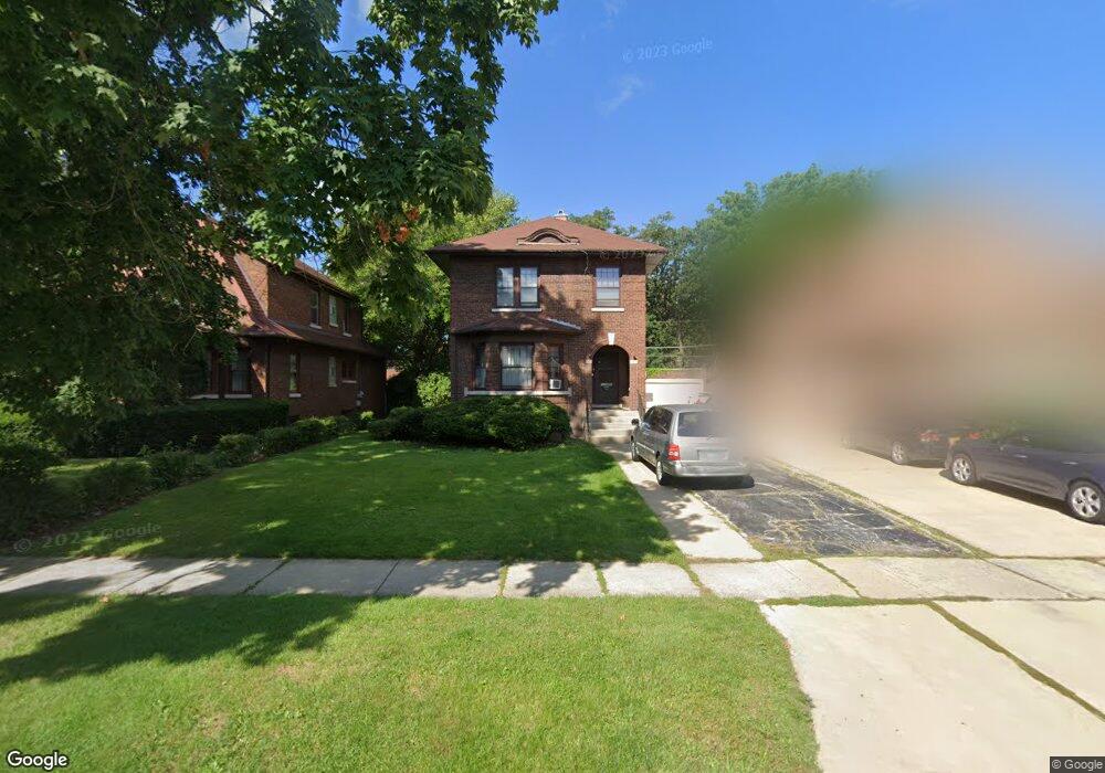
12920 Maple Ave Blue Island, IL 60406
Estimated Value: $227,000 - $268,336
3
Beds
2
Baths
2,030
Sq Ft
$124/Sq Ft
Est. Value
About This Home
This home is located at 12920 Maple Ave, Blue Island, IL 60406 and is currently estimated at $251,084, approximately $123 per square foot. 12920 Maple Ave is a home located in Cook County with nearby schools including Whittier Elementary School, Lincoln Elementary School, and Everett F Kerr Middle School.
Ownership History
Date
Name
Owned For
Owner Type
Purchase Details
Closed on
Jun 11, 2013
Sold by
Vandevelde Karen R
Bought by
Vandevelde Karen and Karen Vandevelde Trust
Current Estimated Value
Purchase Details
Closed on
Aug 22, 1996
Sold by
First National Bank Of Blue Island
Bought by
Vandevelde Karen R
Home Financials for this Owner
Home Financials are based on the most recent Mortgage that was taken out on this home.
Original Mortgage
$35,000
Interest Rate
8.27%
Create a Home Valuation Report for This Property
The Home Valuation Report is an in-depth analysis detailing your home's value as well as a comparison with similar homes in the area
Home Values in the Area
Average Home Value in this Area
Purchase History
| Date | Buyer | Sale Price | Title Company |
|---|---|---|---|
| Vandevelde Karen | -- | None Available | |
| Vandevelde Karen R | -- | -- |
Source: Public Records
Mortgage History
| Date | Status | Borrower | Loan Amount |
|---|---|---|---|
| Closed | Vandevelde Karen R | $35,000 |
Source: Public Records
Tax History Compared to Growth
Tax History
| Year | Tax Paid | Tax Assessment Tax Assessment Total Assessment is a certain percentage of the fair market value that is determined by local assessors to be the total taxable value of land and additions on the property. | Land | Improvement |
|---|---|---|---|---|
| 2024 | $2,954 | $23,001 | $3,968 | $19,033 |
| 2023 | $3,737 | $23,001 | $3,968 | $19,033 |
| 2022 | $3,737 | $15,266 | $3,450 | $11,816 |
| 2021 | $3,432 | $15,266 | $3,450 | $11,816 |
| 2020 | $3,109 | $15,266 | $3,450 | $11,816 |
| 2019 | $3,536 | $16,909 | $3,105 | $13,804 |
| 2018 | $3,385 | $16,909 | $3,105 | $13,804 |
| 2017 | $3,368 | $16,909 | $3,105 | $13,804 |
| 2016 | $4,706 | $15,321 | $2,587 | $12,734 |
| 2015 | $4,810 | $15,321 | $2,587 | $12,734 |
| 2014 | $3,959 | $15,321 | $2,587 | $12,734 |
| 2013 | $4,927 | $16,692 | $2,587 | $14,105 |
Source: Public Records
Map
Nearby Homes
- 2445 High St
- 2638 Vermont St
- 2537 Grove St
- 2824 Union St
- 2336 Union St Unit 3
- 2336 Union St Unit 4
- 2335 Walnut St
- 2853 Everett St
- 12609 Maple Ave
- 12602 Artesian Ave
- 12552 Highland Ave
- 12558 Fairview Ave Unit 1B
- 2521 Lewis St
- 12548 Fairview Ave Unit BLDG1
- 12548 Fairview Ave Unit 2B
- 12546 Fairview Ave Unit 3D
- 12544 Fairview Ave Unit 2G
- 13134 Sacramento Ave
- 12638 Irving Ave
- 2528 Cochran St