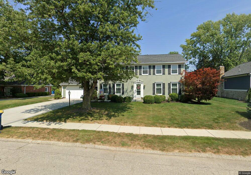
12923 Andover Dr Carmel, IN 46033
East Carmel NeighborhoodEstimated Value: $537,000 - $583,081
4
Beds
3
Baths
3,728
Sq Ft
$152/Sq Ft
Est. Value
About This Home
This home is located at 12923 Andover Dr, Carmel, IN 46033 and is currently estimated at $567,020, approximately $152 per square foot. 12923 Andover Dr is a home located in Hamilton County with nearby schools including Mohawk Trails Elementary School, Clay Middle School, and Carmel High School.
Ownership History
Date
Name
Owned For
Owner Type
Purchase Details
Closed on
Apr 27, 2001
Sold by
Steve Schutz Builder Inc
Bought by
Carter Rickey S and Carter Michele A
Current Estimated Value
Home Financials for this Owner
Home Financials are based on the most recent Mortgage that was taken out on this home.
Original Mortgage
$204,800
Outstanding Balance
$76,245
Interest Rate
6.99%
Estimated Equity
$490,775
Create a Home Valuation Report for This Property
The Home Valuation Report is an in-depth analysis detailing your home's value as well as a comparison with similar homes in the area
Home Values in the Area
Average Home Value in this Area
Purchase History
| Date | Buyer | Sale Price | Title Company |
|---|---|---|---|
| Carter Rickey S | -- | -- |
Source: Public Records
Mortgage History
| Date | Status | Borrower | Loan Amount |
|---|---|---|---|
| Open | Carter Rickey S | $204,800 |
Source: Public Records
Tax History Compared to Growth
Tax History
| Year | Tax Paid | Tax Assessment Tax Assessment Total Assessment is a certain percentage of the fair market value that is determined by local assessors to be the total taxable value of land and additions on the property. | Land | Improvement |
|---|---|---|---|---|
| 2024 | $4,776 | $455,200 | $122,100 | $333,100 |
| 2023 | $4,776 | $437,800 | $94,600 | $343,200 |
| 2022 | $4,543 | $393,100 | $94,600 | $298,500 |
| 2021 | $3,899 | $339,200 | $94,600 | $244,600 |
| 2020 | $3,451 | $300,100 | $94,600 | $205,500 |
| 2019 | $3,439 | $299,200 | $76,700 | $222,500 |
| 2018 | $3,420 | $301,500 | $76,700 | $224,800 |
| 2017 | $3,385 | $298,800 | $76,700 | $222,100 |
| 2016 | $3,215 | $286,400 | $76,700 | $209,700 |
| 2014 | $2,878 | $269,700 | $70,900 | $198,800 |
| 2013 | $2,878 | $257,200 | $70,900 | $186,300 |
Source: Public Records
Map
Nearby Homes
- 12705 Brookshire Pkwy
- 12669 Brookshire Pkwy
- 59 Sycamore Dr
- 128 1st Ct
- 4966 Riley Mews
- 13233 Hazelwood Dr
- 12901 Harrison Dr
- 12427 Charing Cross Rd
- 1129 Fairbanks Dr
- 5059 Morton Place
- 3713 Coventry Way
- 1303 E 126th St
- 12488 Heatherstone Place
- 12208 Castle Row Overlook
- 1983 Woodbine Ct
- 651 Hawthorne Dr
- 4600 Royal Oak Ln
- 1660 Obara Ct
- 781 Dayton Dr
- 3439 Eden Park Dr
- 12937 Andover Dr
- 12909 Andover Dr
- 4221 Centennial Ct
- 12916 Andover Dr
- 4247 Centennial Ct
- 12965 Andover Dr
- 12930 Andover Dr
- 12899 Andover Dr
- 4208 Centennial Ct
- 12902 Andover Dr
- 12970 Brookshire Pkwy
- 12997 Andover Dr
- 12956 Brookshire Pkwy
- 13005 Andover Dr
- 12883 Andover Dr
- 4273 Centennial Ct
- 4234 Centennial Ct
- 12958 Andover Dr
- 12936 Peppermill Ct
- 12874 Andover Dr