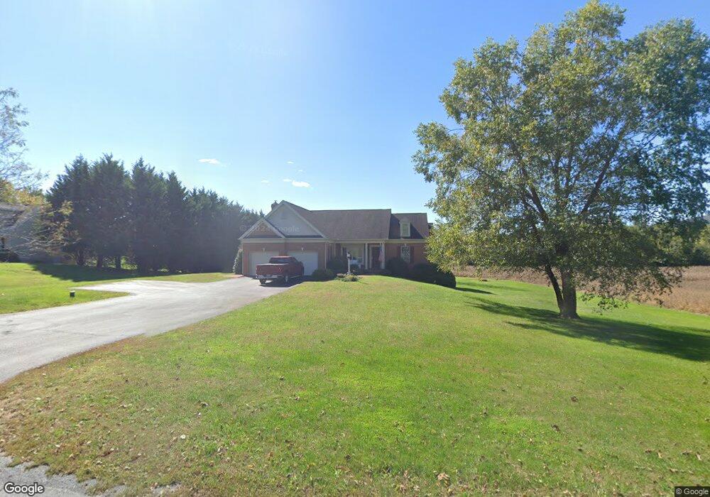
12924 Cohill Rd Clear Spring, MD 21722
Estimated Value: $491,000 - $558,000
Studio
2
Baths
1,952
Sq Ft
$264/Sq Ft
Est. Value
About This Home
This home is located at 12924 Cohill Rd, Clear Spring, MD 21722 and is currently estimated at $516,304, approximately $264 per square foot. 12924 Cohill Rd is a home located in Washington County with nearby schools including Clear Spring Elementary School, Clear Spring Middle School, and Clear Spring High School.
Ownership History
Date
Name
Owned For
Owner Type
Purchase Details
Closed on
Mar 30, 2020
Sold by
Beard Thomas R and Beard Melinda J
Bought by
Hill Douglas W and Hill Stephanie R
Current Estimated Value
Home Financials for this Owner
Home Financials are based on the most recent Mortgage that was taken out on this home.
Original Mortgage
$333,499
Outstanding Balance
$295,440
Interest Rate
3.4%
Mortgage Type
VA
Estimated Equity
$220,864
Purchase Details
Closed on
Nov 6, 2003
Sold by
Cohill Manuel Thomas
Bought by
Beard Thomas R and Beard Melinda J
Create a Home Valuation Report for This Property
The Home Valuation Report is an in-depth analysis detailing your home's value as well as a comparison with similar homes in the area
Purchase History
| Date | Buyer | Sale Price | Title Company |
|---|---|---|---|
| Hill Douglas W | $366,000 | Olde Towne Title Inc | |
| Beard Thomas R | $37,500 | -- |
Source: Public Records
Mortgage History
| Date | Status | Borrower | Loan Amount |
|---|---|---|---|
| Open | Hill Douglas W | $333,499 |
Source: Public Records
Tax History
| Year | Tax Paid | Tax Assessment Tax Assessment Total Assessment is a certain percentage of the fair market value that is determined by local assessors to be the total taxable value of land and additions on the property. | Land | Improvement |
|---|---|---|---|---|
| 2025 | $4,259 | $468,367 | $0 | $0 |
| 2024 | $4,259 | $405,533 | $0 | $0 |
| 2023 | $3,608 | $342,700 | $75,000 | $267,700 |
| 2022 | $3,317 | $314,567 | $0 | $0 |
| 2021 | $3,083 | $286,433 | $0 | $0 |
| 2020 | $2,786 | $258,300 | $75,000 | $183,300 |
| 2019 | $2,798 | $258,300 | $75,000 | $183,300 |
| 2018 | $3,168 | $258,300 | $75,000 | $183,300 |
| 2017 | $2,791 | $261,400 | $0 | $0 |
| 2016 | -- | $257,633 | $0 | $0 |
| 2015 | -- | $253,867 | $0 | $0 |
| 2014 | $3,161 | $250,100 | $0 | $0 |
Source: Public Records
Map
Nearby Homes
- 13407 Rhodes Ct
- 13100 Saint Paul Rd
- 11717 Ashton Rd
- 11705 Ashton Rd
- 11868 National Pike
- Block 139 Lot 56 Boo Blvd
- 11430 National Pike
- Block 87 Lot 4 Pikers Peak Dr
- 12136 Big Pool Rd
- 14009 Dry Run Rd
- Block 11 Lot 14 Hot Springs Ave
- Block 7 Lot 30 & 31 Campfire Blvd
- Block 8 Lot 16 & 17 Campfire Blvd
- Block 1 Lot 27 Boo Blvd
- 0 Block 10 Lot 2 Deadwood Dr Unit WVBE2040636
- Block 90 Lot 8 Ranger Rd
- Block 1 Lot 35 Boo Blvd
- Block 1 Lot 36 Boo Blvd
- Block 12 Lot 41 Ranger Rd
- Block 5 lots 6 and 7 Poison Oak
- 12918 Cohill Rd
- 12928 Cohill Rd
- 12923 Cohill Rd
- 12917 Cohill Rd
- 12913 Cohill Rd
- 12902 Cohill Rd
- 12854 Cohill Rd
- 12848 Cohill Rd
- 12824 Cohill Rd
- 12964 Cohill Rd
- 12803 Cohill Rd
- 12739 Cohill Rd
- 13236 National Pike
- 13302 National Pike
- 13316 National Pike
- 13225 Broadfording Rd
- 13256 National Pike
- 12628 Trinity Church Dr
- 13506 National Pike
- 0 Dam Rd Unit WA2675516
Your Personal Tour Guide
Ask me questions while you tour the home.