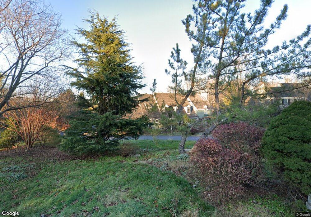
1293 Farm Rd Berwyn, PA 19312
Estimated Value: $1,601,000 - $2,227,000
4
Beds
4
Baths
4,295
Sq Ft
$430/Sq Ft
Est. Value
About This Home
This home is located at 1293 Farm Rd, Berwyn, PA 19312 and is currently estimated at $1,846,950, approximately $430 per square foot. 1293 Farm Rd is a home located in Chester County with nearby schools including Beaumont Elementary School, Tredyffrin-Easttown Middle School, and Conestoga Senior High School.
Ownership History
Date
Name
Owned For
Owner Type
Purchase Details
Closed on
Sep 9, 2019
Sold by
1293 Realty Llc
Bought by
Murray Francis W and Murray Patricia Anne
Current Estimated Value
Home Financials for this Owner
Home Financials are based on the most recent Mortgage that was taken out on this home.
Original Mortgage
$5,520,000
Outstanding Balance
$4,844,969
Interest Rate
3.7%
Mortgage Type
Reverse Mortgage Home Equity Conversion Mortgage
Estimated Equity
-$2,998,019
Purchase Details
Closed on
Feb 15, 2018
Sold by
Chester County Sheriff
Bought by
1293 Realy Llc
Purchase Details
Closed on
Aug 20, 1997
Sold by
State Street Bank & Trust Company
Bought by
Murray Francis X
Home Financials for this Owner
Home Financials are based on the most recent Mortgage that was taken out on this home.
Original Mortgage
$868,000
Interest Rate
4.5%
Purchase Details
Closed on
Feb 26, 1996
Sold by
Erling Robert A
Bought by
State Street Bank & Trust Company
Create a Home Valuation Report for This Property
The Home Valuation Report is an in-depth analysis detailing your home's value as well as a comparison with similar homes in the area
Home Values in the Area
Average Home Value in this Area
Purchase History
| Date | Buyer | Sale Price | Title Company |
|---|---|---|---|
| Murray Francis W | -- | Manito Abstract Company Inc | |
| 1293 Realy Llc | $1,196,370 | -- | |
| Murray Francis X | $1,085,000 | -- | |
| State Street Bank & Trust Company | -- | -- |
Source: Public Records
Mortgage History
| Date | Status | Borrower | Loan Amount |
|---|---|---|---|
| Open | Murray Francis W | $5,520,000 | |
| Previous Owner | Murray Francis X | $868,000 |
Source: Public Records
Tax History Compared to Growth
Tax History
| Year | Tax Paid | Tax Assessment Tax Assessment Total Assessment is a certain percentage of the fair market value that is determined by local assessors to be the total taxable value of land and additions on the property. | Land | Improvement |
|---|---|---|---|---|
| 2025 | $23,611 | $633,000 | $208,910 | $424,090 |
| 2024 | $23,611 | $633,000 | $208,910 | $424,090 |
| 2023 | $22,076 | $633,000 | $208,910 | $424,090 |
| 2022 | $21,472 | $633,000 | $208,910 | $424,090 |
| 2021 | $21,006 | $633,000 | $208,910 | $424,090 |
| 2020 | $20,422 | $633,000 | $208,910 | $424,090 |
| 2019 | $19,853 | $633,000 | $208,910 | $424,090 |
| 2018 | $19,510 | $633,000 | $208,910 | $424,090 |
| 2017 | $19,069 | $633,000 | $208,910 | $424,090 |
| 2016 | -- | $633,000 | $208,910 | $424,090 |
| 2015 | -- | $633,000 | $208,910 | $424,090 |
| 2014 | -- | $633,000 | $208,910 | $424,090 |
Source: Public Records
Map
Nearby Homes
- 191 Stony Point Dr
- 650 Augusta Ct
- 2000 Saint Andrews Dr
- 837 Nathan Hale Rd
- 206 Yorktown Place Unit 106
- 1179 Beaumont Rd
- 709 Newtown Rd
- 32 Manchester Ct
- 1441 Berwyn Paoli Rd
- 91 Central Ave
- 119 Waterloo Ave
- 6 Wingstone Ln
- 5 Kent Ln
- 1242 Old Lancaster Rd
- 541 Woodside Ave
- 327 Stoney Knoll Lane - Lot 5
- 553 Woodside Ave
- 896 Conestoga Rd
- 521 Foxwood Ln
- 0 Prescott Rd Unit PACT2110528