1293 Fisher Station Rd Durant, OK 74701
Estimated Value: $216,000 - $473,299
3
Beds
2
Baths
1,831
Sq Ft
$177/Sq Ft
Est. Value
About This Home
This home is located at 1293 Fisher Station Rd, Durant, OK 74701 and is currently estimated at $324,433, approximately $177 per square foot. 1293 Fisher Station Rd is a home located in Bryan County with nearby schools including Northwest Heights Elementary School, Durant Intermediate Elementary School, and Durant Middle School.
Ownership History
Date
Name
Owned For
Owner Type
Purchase Details
Closed on
Sep 14, 2011
Sold by
Wisdom John W and Wisdom Norma Sue
Bought by
Wisdom Family Revocable Living Trust
Current Estimated Value
Purchase Details
Closed on
Jan 8, 2008
Sold by
Wisdom Norma Sue
Bought by
Wisdom Nroma Sue and Wisdom John Wayne
Purchase Details
Closed on
Aug 12, 2002
Sold by
Owen Velma L
Bought by
Wisdom Norma Sue
Purchase Details
Closed on
May 28, 1993
Sold by
Owen Paul T and Owen Velma L
Bought by
Owen Paul T and Owen Others
Create a Home Valuation Report for This Property
The Home Valuation Report is an in-depth analysis detailing your home's value as well as a comparison with similar homes in the area
Home Values in the Area
Average Home Value in this Area
Purchase History
| Date | Buyer | Sale Price | Title Company |
|---|---|---|---|
| Wisdom Family Revocable Living Trust | -- | None Available | |
| Wisdom Nroma Sue | -- | None Available | |
| Wisdom Norma Sue | -- | -- | |
| Owen Paul T | -- | -- |
Source: Public Records
Tax History Compared to Growth
Tax History
| Year | Tax Paid | Tax Assessment Tax Assessment Total Assessment is a certain percentage of the fair market value that is determined by local assessors to be the total taxable value of land and additions on the property. | Land | Improvement |
|---|---|---|---|---|
| 2025 | $1,194 | $13,655 | $2,949 | $10,706 |
| 2024 | $1,194 | $13,257 | $2,863 | $10,394 |
| 2023 | $1,194 | $12,871 | $2,814 | $10,057 |
| 2022 | $1,079 | $12,496 | $2,754 | $9,742 |
| 2021 | $1,105 | $12,496 | $2,754 | $9,742 |
| 2020 | $1,080 | $12,244 | $2,754 | $9,490 |
| 2019 | $987 | $11,888 | $2,754 | $9,134 |
| 2018 | $947 | $11,541 | $2,754 | $8,787 |
| 2017 | $911 | $11,206 | $2,754 | $8,452 |
| 2016 | $915 | $11,163 | $2,202 | $8,961 |
| 2015 | $912 | $11,163 | $2,202 | $8,961 |
| 2014 | $882 | $10,839 | $1,878 | $8,961 |
Source: Public Records
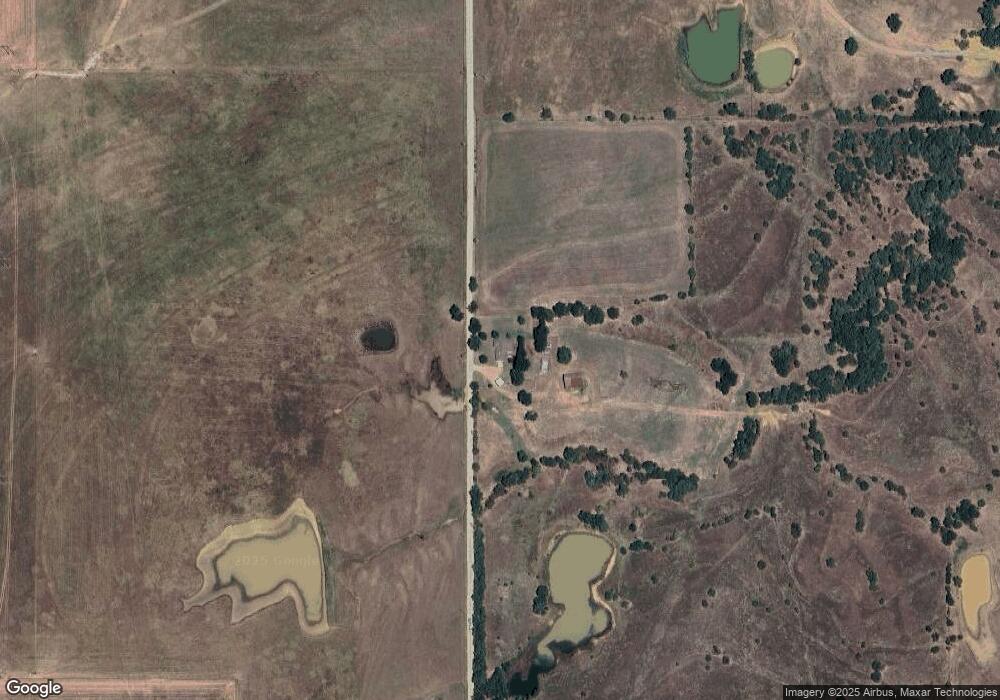
Map
Nearby Homes
- 63 Grace Ln
- 2176 Kirsey Rd
- 823 Stoney Bridge Way
- 0 W Highway 70
- 235 Michael
- 117 Michael Ave
- 60 S Kaylee Rd
- 10499 W Highway 70
- 180 Michael Ave
- 155 Michael Ave
- 0 Hwy 70 Rd Unit 2523282
- 19 Conner Way
- 4709 Sunnyside Rd
- 500 Cale Switch Rd
- 379 Madison St
- 5810 Benelli Blvd
- 849 Beretta Blvd
- 752 Annas Way
- 841 Annas Way
- 5521 Kimberly Rd
- 0 Fisher Station Rd Unit 1723631
- 0 Fisher Station Rd Unit 1801208
- 0 Fisher Station Rd Unit 1816346
- 0 Fisher Station Rd Unit 1816350
- 0 Fisher Station Rd Unit 1816353
- 0 Fisher Station Rd Unit 1816354
- 0 Fisher Station Rd Unit 1816355
- 0 Fisher Station Rd Unit 1816356
- 0 Fisher Station Rd Unit 1830791
- 959 Fisher Station Rd
- 848 Fisher Station Rd
- 760 Fisher Station Rd
- 889 Fisher Station Rd
- 1719 Fisher Station Rd
- 881 Fisher Station Rd
- 4822 Castello Dr
- 1501 San Angelo Ln
- 1601 San Angelo Ln
- 4914 Castello Dr
- 4925 Parco Dr