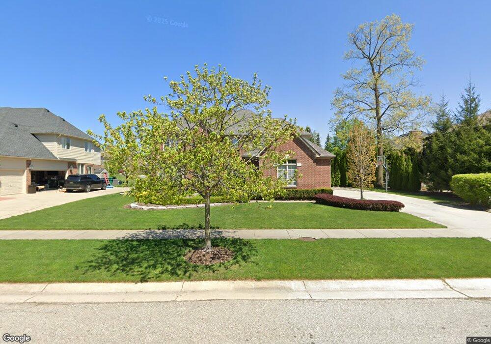
12933 Honey Locust Dr Shelby Township, MI 48315
Estimated Value: $724,000 - $770,000
3
Beds
4
Baths
3,462
Sq Ft
$217/Sq Ft
Est. Value
About This Home
This home is located at 12933 Honey Locust Dr, Shelby Township, MI 48315 and is currently estimated at $750,794, approximately $216 per square foot. 12933 Honey Locust Dr is a home located in Macomb County with nearby schools including Crissman Elementary School, Malow Junior High School, and Eisenhower High School.
Ownership History
Date
Name
Owned For
Owner Type
Purchase Details
Closed on
Jan 9, 2004
Sold by
Thomas Anthony Homes Inc
Bought by
Romanelli Robert Q and Romanelli Tanya A
Current Estimated Value
Home Financials for this Owner
Home Financials are based on the most recent Mortgage that was taken out on this home.
Original Mortgage
$260,000
Outstanding Balance
$112,847
Interest Rate
4.87%
Mortgage Type
Purchase Money Mortgage
Estimated Equity
$637,948
Create a Home Valuation Report for This Property
The Home Valuation Report is an in-depth analysis detailing your home's value as well as a comparison with similar homes in the area
Home Values in the Area
Average Home Value in this Area
Purchase History
| Date | Buyer | Sale Price | Title Company |
|---|---|---|---|
| Romanelli Robert Q | $384,500 | Chicago Title Insurance Comp |
Source: Public Records
Mortgage History
| Date | Status | Borrower | Loan Amount |
|---|---|---|---|
| Open | Romanelli Robert Q | $260,000 |
Source: Public Records
Tax History Compared to Growth
Tax History
| Year | Tax Paid | Tax Assessment Tax Assessment Total Assessment is a certain percentage of the fair market value that is determined by local assessors to be the total taxable value of land and additions on the property. | Land | Improvement |
|---|---|---|---|---|
| 2025 | $6,910 | $361,800 | $0 | $0 |
| 2024 | $4,057 | $323,800 | $0 | $0 |
| 2023 | $3,843 | $279,100 | $0 | $0 |
| 2022 | $6,199 | $251,400 | $0 | $0 |
| 2021 | $6,029 | $248,000 | $0 | $0 |
| 2020 | $3,538 | $238,100 | $0 | $0 |
| 2019 | $5,521 | $222,700 | $0 | $0 |
| 2018 | $5,454 | $214,700 | $0 | $0 |
| 2017 | $5,355 | $214,300 | $38,150 | $176,150 |
| 2016 | $5,317 | $214,300 | $0 | $0 |
| 2015 | $5,107 | $190,200 | $0 | $0 |
| 2012 | -- | $0 | $0 | $0 |
Source: Public Records
Map
Nearby Homes
- 54381 Pelican Ln
- 54679 White Pine Ln
- 54158 Blue Cloud Dr
- 53527 Cherrywood Dr
- 12277 Forest Glen Ln
- 53650 Cherrywood Dr
- 54810 Blue Cloud Dr
- 11988 Whispering Oak Ln
- 11884 Shawnee Point
- 13823 Blue Beech Ln
- 12771 N Pointe Dr
- 11948 Encore Ct
- 55589 Oak Pointe Dr
- 11851 Ovation Ct
- 11961 Encore Ct
- 11731 Encore Ct
- 11812 Encore Dr
- 12020 Encore Ct
- 11982 Encore Ct
- 11695 Encore Dr
- 12915 Honey Locust Dr
- 54341 Sassafras Dr
- 12898 Red Bud Dr
- 54365 Sassafras Dr
- 12877 Honey Locust Dr
- 54393 Sassafras Dr
- 12892 Honey Locust Dr
- 12974 Honey Locust Dr Unit Bldg-Unit
- 12974 Honey Locust Dr
- 54420 White Pine Ln
- 12856 Red Bud Dr
- 13006 Honey Locust Dr
- 54419 Sassafras Dr
- 12839 Honey Locust Dr
- 12870 Honey Locust Dr
- 54348 Sassafras Dr
- 12842 Red Bud Dr
- 54380 Sassafras Dr
- 54244 Oakdale Dr
- 54239 Oakdale Dr