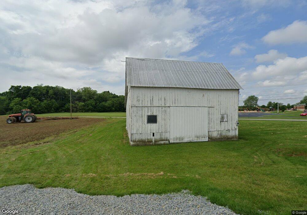
12936 Barrett Mill Rd Bainbridge, OH 45612
Estimated Value: $93,349 - $158,000
--
Bed
--
Bath
--
Sq Ft
9.86
Acres
About This Home
This home is located at 12936 Barrett Mill Rd, Bainbridge, OH 45612 and is currently estimated at $125,675. 12936 Barrett Mill Rd is a home located in Highland County with nearby schools including McClain High School.
Ownership History
Date
Name
Owned For
Owner Type
Purchase Details
Closed on
Mar 25, 2024
Sold by
Smith Tara S and Smith Anthony W
Bought by
Weaver Fred B and Weaver Velma A
Current Estimated Value
Purchase Details
Closed on
Mar 18, 2011
Sold by
Smith Edith E
Bought by
Smith Tara S and Mcdonald Anthony W
Home Financials for this Owner
Home Financials are based on the most recent Mortgage that was taken out on this home.
Original Mortgage
$21,380
Interest Rate
4.88%
Mortgage Type
Purchase Money Mortgage
Purchase Details
Closed on
Dec 16, 2010
Sold by
Estate Of Charles E Smith
Bought by
Smith Edith E
Purchase Details
Closed on
Aug 3, 1993
Sold by
Daughtery Fred and Daughtery Marjorie
Bought by
Smith Charles E and Smith Edith E
Purchase Details
Closed on
Jan 1, 1990
Bought by
Daughtery Fred and Daughtery Marjorie
Create a Home Valuation Report for This Property
The Home Valuation Report is an in-depth analysis detailing your home's value as well as a comparison with similar homes in the area
Home Values in the Area
Average Home Value in this Area
Purchase History
| Date | Buyer | Sale Price | Title Company |
|---|---|---|---|
| Weaver Fred B | $80,000 | None Listed On Document | |
| Weaver Fred B | $80,000 | None Listed On Document | |
| Smith Tara S | $20,000 | Attorney | |
| Smith Edith E | -- | None Available | |
| Smith Charles E | $15,300 | -- | |
| Daughtery Fred | -- | -- |
Source: Public Records
Mortgage History
| Date | Status | Borrower | Loan Amount |
|---|---|---|---|
| Previous Owner | Smith Tara S | $21,380 |
Source: Public Records
Tax History Compared to Growth
Tax History
| Year | Tax Paid | Tax Assessment Tax Assessment Total Assessment is a certain percentage of the fair market value that is determined by local assessors to be the total taxable value of land and additions on the property. | Land | Improvement |
|---|---|---|---|---|
| 2024 | $206 | $18,980 | $18,870 | $110 |
| 2023 | $206 | $15,440 | $15,300 | $140 |
| 2022 | $100 | $15,440 | $15,300 | $140 |
| 2021 | $96 | $2,880 | $2,740 | $140 |
| 2020 | $135 | $3,970 | $3,860 | $110 |
| 2019 | $138 | $3,970 | $3,860 | $110 |
| 2018 | $249 | $3,970 | $3,860 | $110 |
| 2017 | $269 | $5,470 | $5,360 | $110 |
| 2016 | $346 | $9,840 | $9,730 | $110 |
| 2015 | $360 | $9,840 | $9,730 | $110 |
| 2014 | $360 | $9,390 | $9,280 | $110 |
| 2013 | $361 | $9,390 | $9,280 | $110 |
Source: Public Records
Map
Nearby Homes
- 12977 U S 50
- 6838 McCoppin Mill Rd
- 6935 Laura Blvd
- 7094 Cedar Trail
- 0 Martha Dr Unit 1857951
- 0.459ac Lakefront Dr
- 11850 Maple Trail
- 11245 Karnes Rd
- 6749 Loch Lomond Cir
- 11515 Dundee Dr
- 7069 Forest Cove Cir
- 61 Maple Dr
- 355 Maple Dr
- 0 Maple Dr Unit 1841507
- 6949 Highland Trail W Unit TLW
- 14703 Brier Rd
- acres +- N Beach Rd
- 0 Overman Rd Unit 1837015
- 7724 Cave Rd
- ac Overman Rd
- 12945 Barrett Mill Rd
- 12917 Barretts Mill Rd
- 12893 Barrett Mill Rd
- 7425 West Rd
- 12908 Barrett Mill Rd
- 12926 Us Highway 50 W
- 12926 Us Highway 50 W
- 12890 Barrett Mill Rd
- 12930 Us Highway 50 W
- 12952 Us Highway 50 W
- 12875 South St
- 12960 Us Highway 50 W
- 12867 South St
- 12972 Us Highway 50 W
- 12854 South St
- 12917 Us Highway 50 W
- 12943 Us Highway 50 W
- 12911 Us Highway 50 W
- 12860 U S 50
- 12859 Watt Rd