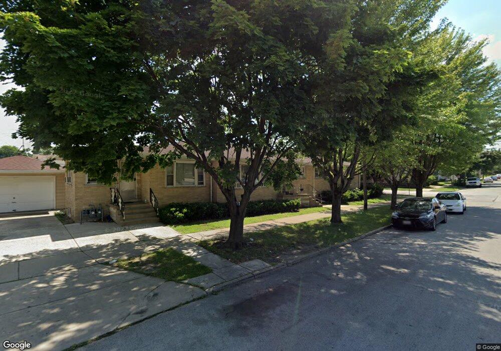
12937 Division St Blue Island, IL 60406
Estimated Value: $258,000 - $283,000
5
Beds
3
Baths
2,824
Sq Ft
$96/Sq Ft
Est. Value
About This Home
This home is located at 12937 Division St, Blue Island, IL 60406 and is currently estimated at $271,375, approximately $96 per square foot. 12937 Division St is a home located in Cook County with nearby schools including Burr Oak Academy, Calumet Middle School, and Dwight D. Eisenhower High School.
Ownership History
Date
Name
Owned For
Owner Type
Purchase Details
Closed on
Sep 8, 2004
Sold by
Carrieri Donato and Carrieri Pierina
Bought by
Mallick Arshad and Khan Arshia
Current Estimated Value
Home Financials for this Owner
Home Financials are based on the most recent Mortgage that was taken out on this home.
Original Mortgage
$168,000
Outstanding Balance
$89,372
Interest Rate
7%
Mortgage Type
Unknown
Estimated Equity
$182,003
Create a Home Valuation Report for This Property
The Home Valuation Report is an in-depth analysis detailing your home's value as well as a comparison with similar homes in the area
Home Values in the Area
Average Home Value in this Area
Purchase History
| Date | Buyer | Sale Price | Title Company |
|---|---|---|---|
| Mallick Arshad | $210,000 | Chicago Title Insurance Comp |
Source: Public Records
Mortgage History
| Date | Status | Borrower | Loan Amount |
|---|---|---|---|
| Open | Mallick Arshad | $168,000 | |
| Closed | Mallick Arshad | $42,000 |
Source: Public Records
Tax History Compared to Growth
Tax History
| Year | Tax Paid | Tax Assessment Tax Assessment Total Assessment is a certain percentage of the fair market value that is determined by local assessors to be the total taxable value of land and additions on the property. | Land | Improvement |
|---|---|---|---|---|
| 2024 | $4,421 | $12,858 | $2,591 | $10,267 |
| 2023 | $4,135 | $12,858 | $2,591 | $10,267 |
| 2022 | $4,135 | $10,080 | $2,267 | $7,813 |
| 2021 | $4,025 | $10,079 | $2,266 | $7,813 |
| 2020 | $4,119 | $10,079 | $2,266 | $7,813 |
| 2019 | $3,953 | $9,948 | $2,051 | $7,897 |
| 2018 | $3,782 | $9,948 | $2,051 | $7,897 |
| 2017 | $3,751 | $9,948 | $2,051 | $7,897 |
| 2016 | $3,063 | $7,791 | $1,835 | $5,956 |
| 2015 | $2,927 | $7,791 | $1,835 | $5,956 |
| 2014 | $2,912 | $7,791 | $1,835 | $5,956 |
| 2013 | $3,232 | $9,077 | $1,835 | $7,242 |
Source: Public Records
Map
Nearby Homes
- 1945 High St
- 1904 High St
- 12842 Winchester Ave
- 12850 Lincoln St
- 2048 High St
- 12817 Honore St
- 13031 Honore St
- 12731 Division St
- 12917 Page St
- 12804 S Paulina St Unit 12804
- 1812 W 127th St
- 1900 Canal St Unit 2A
- 1925 Canal St Unit 3D
- 1925 Canal St Unit 3A
- 12840 Gregory St
- 2336 Union St Unit 5
- 2336 Union St Unit 3
- 2336 Union St Unit 4
- 2335 Walnut St
- 12638 Irving Ave