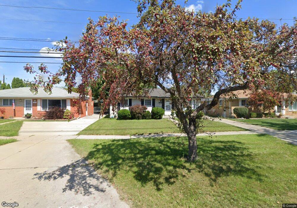
12939 E 12 Mile Rd Warren, MI 48088
Northeast Warren NeighborhoodEstimated Value: $219,404 - $258,000
3
Beds
1
Bath
1,008
Sq Ft
$235/Sq Ft
Est. Value
About This Home
This home is located at 12939 E 12 Mile Rd, Warren, MI 48088 and is currently estimated at $236,851, approximately $234 per square foot. 12939 E 12 Mile Rd is a home located in Macomb County with nearby schools including Warren Woods Tower High School, Macomb Montessori Academy, and Center Line Preparatory Academy.
Ownership History
Date
Name
Owned For
Owner Type
Purchase Details
Closed on
May 20, 2010
Sold by
Sawchuk Herbert H and Sawchuk Susanne
Bought by
Kirtley Michael T and Kirtley Ching
Current Estimated Value
Home Financials for this Owner
Home Financials are based on the most recent Mortgage that was taken out on this home.
Original Mortgage
$78,551
Outstanding Balance
$53,597
Interest Rate
5.5%
Mortgage Type
FHA
Estimated Equity
$183,254
Purchase Details
Closed on
Nov 14, 2008
Sold by
Jackson Judy C
Bought by
Citimortgage Inc
Create a Home Valuation Report for This Property
The Home Valuation Report is an in-depth analysis detailing your home's value as well as a comparison with similar homes in the area
Home Values in the Area
Average Home Value in this Area
Purchase History
| Date | Buyer | Sale Price | Title Company |
|---|---|---|---|
| Kirtley Michael T | $80,000 | Bell Title Agency | |
| Citimortgage Inc | $52,924 | None Available |
Source: Public Records
Mortgage History
| Date | Status | Borrower | Loan Amount |
|---|---|---|---|
| Open | Kirtley Michael T | $78,551 |
Source: Public Records
Tax History
| Year | Tax Paid | Tax Assessment Tax Assessment Total Assessment is a certain percentage of the fair market value that is determined by local assessors to be the total taxable value of land and additions on the property. | Land | Improvement |
|---|---|---|---|---|
| 2025 | $2,859 | $101,330 | $0 | $0 |
| 2024 | $28 | $92,020 | $0 | $0 |
| 2023 | $2,636 | $88,830 | $0 | $0 |
| 2022 | $2,585 | $77,440 | $0 | $0 |
| 2021 | $2,536 | $70,850 | $0 | $0 |
| 2020 | $2,431 | $67,040 | $0 | $0 |
| 2019 | $2,322 | $64,120 | $0 | $0 |
| 2018 | $2,345 | $53,770 | $0 | $0 |
| 2017 | $2,218 | $48,340 | $9,660 | $38,680 |
| 2016 | $2,201 | $48,340 | $0 | $0 |
| 2015 | -- | $44,440 | $0 | $0 |
| 2013 | $2,127 | $41,620 | $0 | $0 |
Source: Public Records
Map
Nearby Homes
- 29143 Dover Ave
- 29105 Palomino Dr
- 29579 Fairfield Dr
- 29531 Eiffel Ave
- 54765 Palomino Ave
- 29010 Wagner Dr
- 28540 Roan Dr
- 29337 Roan Dr
- 29091 Wagner Dr
- 29366 Wagner Dr
- 29088 Yorkshire Ln Unit 28
- 28625 Bradner Dr
- 12531 Common Rd
- 30045 Iroquois Dr
- 12876 Martin Rd
- 29417 Scarborough Dr Unit 28
- 29454 Scarborough Dr Unit 7
- 13325 Iowa Dr
- 29460 Hoover Rd Unit D37
- 12855 Ray Dr
- 12927 Twelve Mile Rd
- 12939 Twelve Mile Rd
- 12927 E 12 Mile Rd
- 13011 E 12 Mile Rd
- 12915 E 12 Mile Rd
- 13025 E 12 Mile Rd
- 12915 Twelve Mile Rd
- 13000 Geoffry Dr
- 12885 E Twelve Mile Rd
- 13012 Geoffry Dr
- 12970 Geoffry Dr
- 12885 E 12 Mile Rd
- 13037 E 12 Mile Rd
- 13024 Geoffry Dr
- 13036 Geoffry Dr
- 12946 Geoffry Dr
- 12873 E 12 Mile Rd
- 12980 E 12 Mile Rd
- 29119 Dover Ave
- 29107 Dover Ave
Your Personal Tour Guide
Ask me questions while you tour the home.