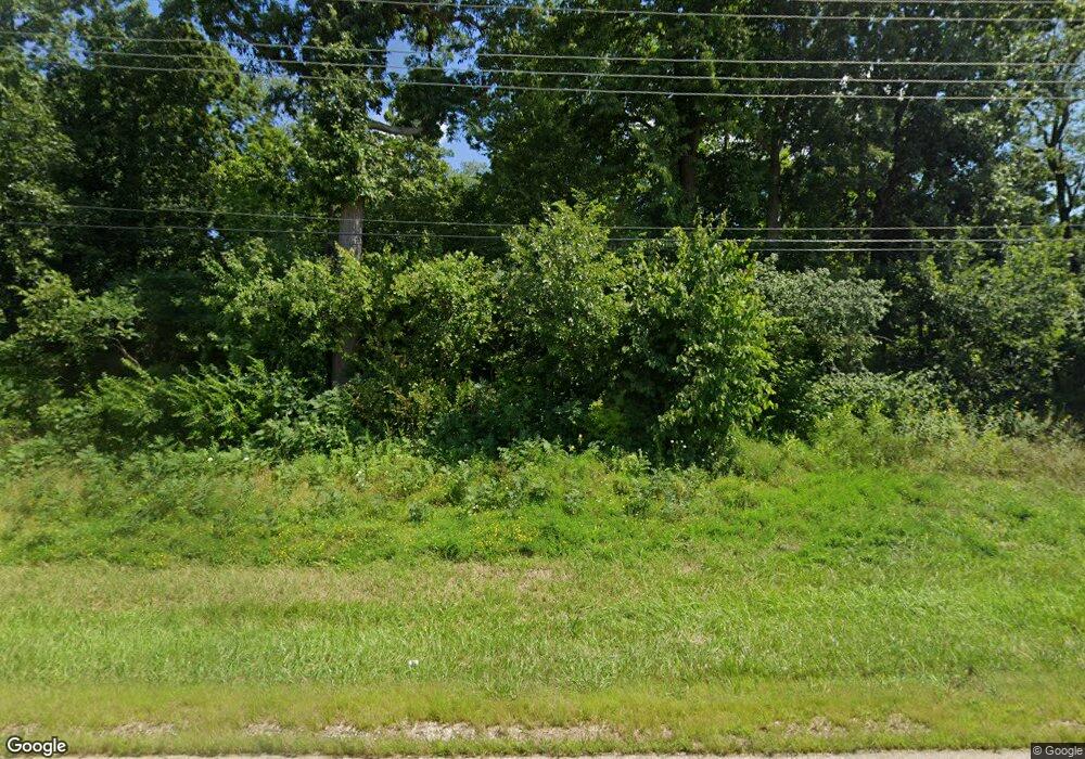
12939 Il Route 76 Poplar Grove, IL 61065
Estimated Value: $597,000 - $678,000
4
Beds
3
Baths
2,473
Sq Ft
$260/Sq Ft
Est. Value
About This Home
This home is located at 12939 Il Route 76, Poplar Grove, IL 61065 and is currently estimated at $643,828, approximately $260 per square foot. 12939 Il Route 76 is a home located in Boone County with nearby schools including Poplar Grove Elementary School, North Boone Middle School, and North Boone Upper Elementary School.
Ownership History
Date
Name
Owned For
Owner Type
Purchase Details
Closed on
Jul 8, 2024
Sold by
Zaccard Daniel R and Zaccard Kelsie
Bought by
Schurman Andrew
Current Estimated Value
Home Financials for this Owner
Home Financials are based on the most recent Mortgage that was taken out on this home.
Original Mortgage
$500,000
Outstanding Balance
$482,532
Interest Rate
0.73%
Mortgage Type
Construction
Estimated Equity
$161,296
Purchase Details
Closed on
Mar 11, 2013
Bought by
Zaccard Daniel R
Create a Home Valuation Report for This Property
The Home Valuation Report is an in-depth analysis detailing your home's value as well as a comparison with similar homes in the area
Home Values in the Area
Average Home Value in this Area
Purchase History
| Date | Buyer | Sale Price | Title Company |
|---|---|---|---|
| Schurman Andrew | $625,000 | Metropolitan Title Agency Inc | |
| Zaccard Daniel R | -- | -- |
Source: Public Records
Mortgage History
| Date | Status | Borrower | Loan Amount |
|---|---|---|---|
| Open | Schurman Andrew | $500,000 |
Source: Public Records
Tax History Compared to Growth
Tax History
| Year | Tax Paid | Tax Assessment Tax Assessment Total Assessment is a certain percentage of the fair market value that is determined by local assessors to be the total taxable value of land and additions on the property. | Land | Improvement |
|---|---|---|---|---|
| 2024 | $12,234 | $168,541 | $25,356 | $143,185 |
| 2023 | $12,234 | $146,571 | $28,689 | $117,882 |
| 2022 | $11,420 | $133,920 | $28,689 | $105,231 |
| 2021 | $10,663 | $126,013 | $28,689 | $97,324 |
| 2020 | $10,511 | $126,013 | $28,689 | $97,324 |
| 2019 | $10,583 | $114,943 | $28,689 | $86,254 |
| 2018 | $10,229 | $307,875 | $230,318 | $77,557 |
| 2017 | $10,079 | $102,008 | $28,833 | $73,175 |
| 2016 | $9,958 | $93,594 | $28,689 | $64,905 |
| 2015 | $9,846 | $93,594 | $28,689 | $64,905 |
| 2014 | $25,878 | $96,480 | $28,689 | $67,791 |
Source: Public Records
Map
Nearby Homes
- 12790 Il Route 76
- 12790 Illinois 76
- 4530 Harris Dr
- 135 Liverpool Dr SE
- 4514 Harris Dr
- 117 Liverpool Dr SE
- 204 Brandywine Dr SE
- 2212 Candlewick Dr SE
- 204 King Henry Rd SE
- 110 Brandywine Dr SE
- 13766 Il Route 76
- 117 Brandywine Dr SE
- 111 Brandywine Dr SE
- 108 James Cir SE
- 115 Lamplighter Loop SE
- 203 Candlewick Dr NE
- Jackson Plan at The Trails of Dawson Creek
- Genesis Plan at The Trails of Dawson Creek
- Jefferson Plan at The Trails of Dawson Creek
- Roosevelt Plan at The Trails of Dawson Creek
- 12939 Il Rt 76
- 12793 Il Route 76
- 12931 Parkway
- 12951 Parkway
- 12991 Parkway
- 12922 Parkway
- 13031 Parkway
- 12941 Acres Ave
- 13111 Parkway
- 13131 Parkway
- 13021 Acres Ave
- 13011 Acres Ave
- 13031 Acres Ave
- 12646 Il Route 76
- 13142 Parkway
- 12932 Leonard Ln
- 12790 Il Route 76
- 13001 Il Route 76
- 4253 Dawson Lake Rd
- 13012 Leonard Ln
