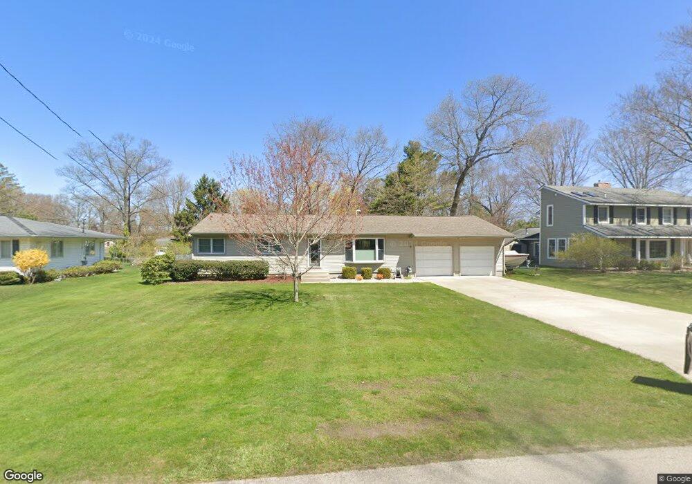
1294 Brookwood Dr Norton Shores, MI 49441
Estimated Value: $267,732 - $297,000
3
Beds
2
Baths
1,340
Sq Ft
$209/Sq Ft
Est. Value
About This Home
This home is located at 1294 Brookwood Dr, Norton Shores, MI 49441 and is currently estimated at $280,683, approximately $209 per square foot. 1294 Brookwood Dr is a home located in Muskegon County with nearby schools including Mona Shores High School, Michigan Dunes Montessori School, and West Shore Lutheran School.
Ownership History
Date
Name
Owned For
Owner Type
Purchase Details
Closed on
Nov 26, 2019
Sold by
Rischer Ryan M and Rischer Gina M
Bought by
Fischer Ryan M and Fischer Gina M
Current Estimated Value
Purchase Details
Closed on
Jun 3, 2003
Sold by
Fischer Ryan M and Brewster Gina M
Bought by
Fischer Ryan M and Fischer Gina M
Home Financials for this Owner
Home Financials are based on the most recent Mortgage that was taken out on this home.
Original Mortgage
$103,000
Interest Rate
5.71%
Mortgage Type
Purchase Money Mortgage
Create a Home Valuation Report for This Property
The Home Valuation Report is an in-depth analysis detailing your home's value as well as a comparison with similar homes in the area
Home Values in the Area
Average Home Value in this Area
Purchase History
| Date | Buyer | Sale Price | Title Company |
|---|---|---|---|
| Fischer Ryan M | -- | None Available | |
| Fischer Ryan M | -- | Metropolitan Title Company |
Source: Public Records
Mortgage History
| Date | Status | Borrower | Loan Amount |
|---|---|---|---|
| Previous Owner | Fischer Ryan M | $103,000 |
Source: Public Records
Tax History Compared to Growth
Tax History
| Year | Tax Paid | Tax Assessment Tax Assessment Total Assessment is a certain percentage of the fair market value that is determined by local assessors to be the total taxable value of land and additions on the property. | Land | Improvement |
|---|---|---|---|---|
| 2025 | $2,518 | $114,700 | $0 | $0 |
| 2024 | $1,974 | $106,900 | $0 | $0 |
| 2023 | $1,886 | $89,800 | $0 | $0 |
| 2022 | $2,298 | $77,900 | $0 | $0 |
| 2021 | $2,233 | $73,500 | $0 | $0 |
| 2020 | $2,208 | $68,900 | $0 | $0 |
| 2019 | $2,168 | $64,100 | $0 | $0 |
| 2018 | $2,117 | $63,300 | $0 | $0 |
| 2017 | $2,068 | $60,800 | $0 | $0 |
| 2016 | $1,601 | $56,700 | $0 | $0 |
| 2015 | -- | $54,300 | $0 | $0 |
| 2014 | $1,921 | $52,600 | $0 | $0 |
| 2013 | -- | $49,800 | $0 | $0 |
Source: Public Records
Map
Nearby Homes
- 1558 Brookwood Dr
- 4666 Heinicke St
- 5085 Gay St
- 1769 Bayview Dr
- 4655 Henry St
- 4235 Braeburn Ct
- 4230 Braeburn Ct
- 5153 Shady Creek Dr
- 5075 Wickham Dr
- 1887 Hendrick Rd
- 5128 Henry St
- 1848 Forest Park Rd
- 740 Bridgeview Bay Dr
- 3920 Braeburn Dr
- 1991 W Glen Ct
- 5043 Maranatha Dr
- 3854 Greuling Rd
- 1985 Forest Glen Ct Unit 11
- 1812 Ritter Hills Dr
- 608 Porter Rd
- 1308 Brookwood Dr
- 1278 Brookwood Dr
- 1291 Brookwood Dr
- 1305 Brookwood Dr
- 1324 Brookwood Dr
- 1321 Brookwood Dr
- 1266 Brookwood Dr
- 1275 Brookwood Dr
- 1335 Brookwood Dr
- 1336 Brookwood Dr
- 1261 Brookwood Dr
- 1295 W Hile Rd
- 1311 W Hile Rd
- 1250 Brookwood Dr
- 1329 W Hile Rd
- 1283 W Hile Rd
- 1355 Brookwood Dr
- 1356 Brookwood Dr
- 1341 W Hile Rd
- 1245 Brookwood Dr