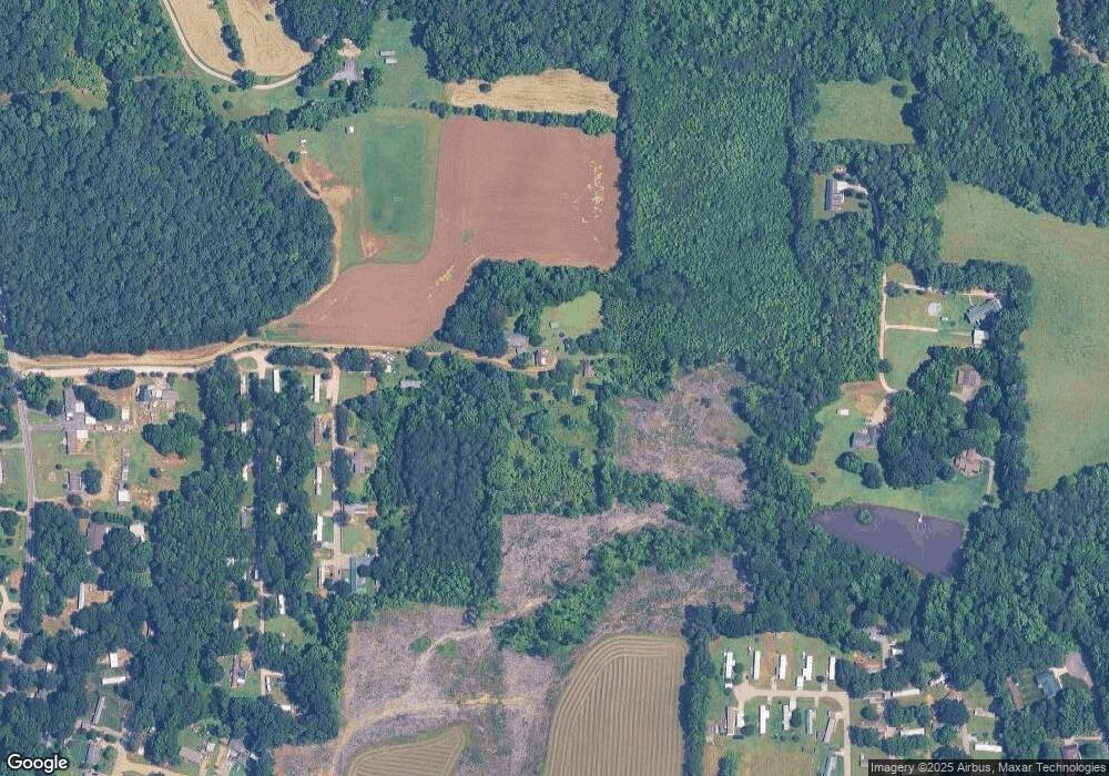
1294 Colton Ln Salisbury, NC 28146
Estimated Value: $99,614 - $257,000
--
Bed
1
Bath
1,113
Sq Ft
$174/Sq Ft
Est. Value
About This Home
This home is located at 1294 Colton Ln, Salisbury, NC 28146 and is currently estimated at $194,154, approximately $174 per square foot. 1294 Colton Ln is a home located in Rowan County with nearby schools including China Grove Elementary School, Southeast Middle School, and Jesse C Carson High School.
Ownership History
Date
Name
Owned For
Owner Type
Purchase Details
Closed on
Jun 25, 2007
Sold by
Donahue April Dawn
Bought by
Overcash Crystal Marie and Overcash Mark
Current Estimated Value
Home Financials for this Owner
Home Financials are based on the most recent Mortgage that was taken out on this home.
Original Mortgage
$151,050
Outstanding Balance
$93,225
Interest Rate
6.35%
Mortgage Type
Construction
Estimated Equity
$100,929
Purchase Details
Closed on
Aug 9, 2006
Sold by
Hill Charles Max and Hill Judy W
Bought by
Donahue April Dawn and Overcash Crystal Marie
Create a Home Valuation Report for This Property
The Home Valuation Report is an in-depth analysis detailing your home's value as well as a comparison with similar homes in the area
Home Values in the Area
Average Home Value in this Area
Purchase History
| Date | Buyer | Sale Price | Title Company |
|---|---|---|---|
| Overcash Crystal Marie | -- | Lt | |
| Donahue April Dawn | -- | None Available |
Source: Public Records
Mortgage History
| Date | Status | Borrower | Loan Amount |
|---|---|---|---|
| Open | Overcash Crystal Marie | $151,050 |
Source: Public Records
Tax History Compared to Growth
Tax History
| Year | Tax Paid | Tax Assessment Tax Assessment Total Assessment is a certain percentage of the fair market value that is determined by local assessors to be the total taxable value of land and additions on the property. | Land | Improvement |
|---|---|---|---|---|
| 2025 | $422 | $62,929 | $59,873 | $3,056 |
| 2024 | $422 | $62,929 | $59,873 | $3,056 |
| 2023 | $422 | $62,929 | $59,873 | $3,056 |
| 2022 | $417 | $55,772 | $53,611 | $2,161 |
| 2021 | $414 | $55,772 | $53,611 | $2,161 |
| 2020 | $414 | $55,772 | $53,611 | $2,161 |
| 2019 | $414 | $55,772 | $53,611 | $2,161 |
| 2018 | $410 | $55,707 | $53,610 | $2,097 |
| 2017 | $410 | $55,707 | $53,610 | $2,097 |
| 2016 | $410 | $55,707 | $53,610 | $2,097 |
| 2015 | $229 | $55,707 | $53,610 | $2,097 |
| 2014 | $219 | $55,707 | $53,610 | $2,097 |
Source: Public Records
Map
Nearby Homes
- 1143 Journey Ln
- 1365 Safrit Rd
- 0 Ed Weavers Rd
- 0 Brookfield Cir Unit CAR4292885
- 1352 Eva Ln
- 1925 Mount Hope Church Rd
- 0 Maple St
- 107 Mink Dr
- 35 Happy Hollow Rd
- 130 Happy Hollow Rd
- 130 Happy Hollow Rd Unit 13/B
- 1140 Peeler Rd
- 6000 S Main St
- 850 and 830 E Nc 152 Hwy E
- 4980 Mount Hope Church Rd
- 8900 Old Concord Rd
- 4040 Daugherty Rd
- 1335 Brookwood Dr
- 0 Swink Ave
- 330 Oak Ridge Run
- 1295 Colton Ln
- 1295 Edgefield Dr
- 1397 Burkesway Dr
- 1455 Burkesway Dr
- 185 Hawkridge Ln
- 213 Westfork Dr
- 1305 Burkesway Dr
- 1352 Burkesway Dr
- 1137 Hugo Dr
- 2764 Farley Ct
- 815 Safrit Rd
- 803 Safrit Rd
- 1177 Journey Ln
- 909 Safrit Rd
- 2771 Mcfarland Dr
- 2766 Mcfarland Dr
- 1193 Journey Ln
- 1059 Hugo Dr
- 615 Safrit Rd
- 2770 Mcfarland Dr
