Estimated Value: $160,000 - $385,000
3
Beds
2
Baths
1,620
Sq Ft
$149/Sq Ft
Est. Value
About This Home
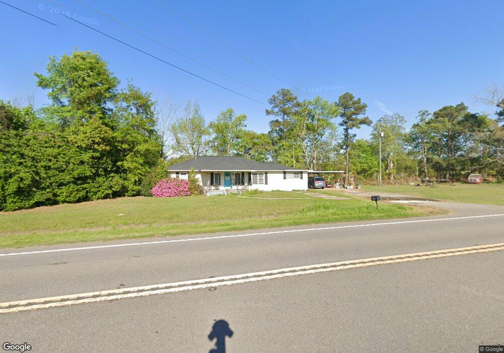
This home is located at 1294 Ga Highway 112 N, Cairo, GA 39827 and is currently estimated at $242,000, approximately $149 per square foot. 1294 Ga Highway 112 N is a home located in Grady County.
Ownership History
Date
Name
Owned For
Owner Type
Purchase Details
Closed on
Jun 29, 2010
Sold by
Ponder Grace H
Bought by
Harrell Jeffrey Arthur
Current Estimated Value
Home Financials for this Owner
Home Financials are based on the most recent Mortgage that was taken out on this home.
Original Mortgage
$74,353
Outstanding Balance
$49,581
Interest Rate
4.79%
Mortgage Type
Purchase Money Mortgage
Estimated Equity
$192,419
Purchase Details
Closed on
Sep 10, 2007
Sold by
Ponder William F
Bought by
Ponder William F
Purchase Details
Closed on
Mar 14, 1953
Bought by
Ponder Earl
Create a Home Valuation Report for This Property
The Home Valuation Report is an in-depth analysis detailing your home's value as well as a comparison with similar homes in the area
Home Values in the Area
Average Home Value in this Area
Purchase History
| Date | Buyer | Sale Price | Title Company |
|---|---|---|---|
| Harrell Jeffrey Arthur | $82,000 | -- | |
| Ponder William F | -- | -- | |
| Ponder Earl | -- | -- |
Source: Public Records
Mortgage History
| Date | Status | Borrower | Loan Amount |
|---|---|---|---|
| Open | Harrell Jeffrey Arthur | $74,353 |
Source: Public Records
Tax History Compared to Growth
Tax History
| Year | Tax Paid | Tax Assessment Tax Assessment Total Assessment is a certain percentage of the fair market value that is determined by local assessors to be the total taxable value of land and additions on the property. | Land | Improvement |
|---|---|---|---|---|
| 2024 | $1,281 | $43,629 | $5,758 | $37,871 |
| 2023 | $821 | $28,664 | $4,323 | $24,341 |
| 2022 | $821 | $28,664 | $4,323 | $24,341 |
| 2021 | $823 | $28,664 | $4,323 | $24,341 |
| 2020 | $826 | $28,664 | $4,323 | $24,341 |
| 2019 | $826 | $28,664 | $4,323 | $24,341 |
| 2018 | $776 | $28,664 | $4,323 | $24,341 |
| 2017 | $630 | $28,664 | $4,323 | $24,341 |
| 2016 | $630 | $24,619 | $4,323 | $20,296 |
| 2015 | $622 | $24,619 | $4,323 | $20,296 |
| 2014 | $623 | $24,619 | $4,323 | $20,296 |
| 2013 | -- | $26,366 | $8,208 | $18,158 |
Source: Public Records
Map
Nearby Homes
- 1741 Georgia 112
- 53 +/- A Bond Rd
- 231 Mcintyre Ln
- 189 Sabino Dr
- 264 Woodridge Ln
- 158 Woodridge Ln
- 1520 Upper Hawthorne Trail
- 105 Woodridge Ln
- 1725 Tract 2 Hwy 84w
- 1725 Tract #1 Hwy 84w
- Lot 1 Crine Blvd
- 1500 15th Ave NW
- 0 Upper Hawthorne Trail
- 1200 15th Ave NW
- 1389 Lake Front Dr
- 1137 Summerfield
- 1490 Magnolia Dr
- 1296 McQuaig St NW
- 000 15th Ave Nw -- Tract 1
- 000 15th Ave Nw -- Tract 2
- 1349 Ga Highway 112 N
- 1213 Ga Highway 112 N Unit A
- 795 Ridge Rd
- 1210 Georgia 112
- 1210 Ga Highway 112 N
- 1398 Ga Highway 112 N
- 1115 N Ga Highway 112 N
- 1218 Ga Highway 112 N
- 489 Sapp Creek Rd
- 427 Sapp Creek Rd
- 959 Ga Highway 112 N
- 960 Ga Highway 112 N
- 196 Gainous Ln
- 1654 Georgia 112
- 1654 Ga Highway 112 N
- 417 Sapp Creek Rd
- 395 Sapp Creek Rd
- 448 Sapp Creek Rd
- 175 Gainous Ln
- 410 Sapp Creek Rd