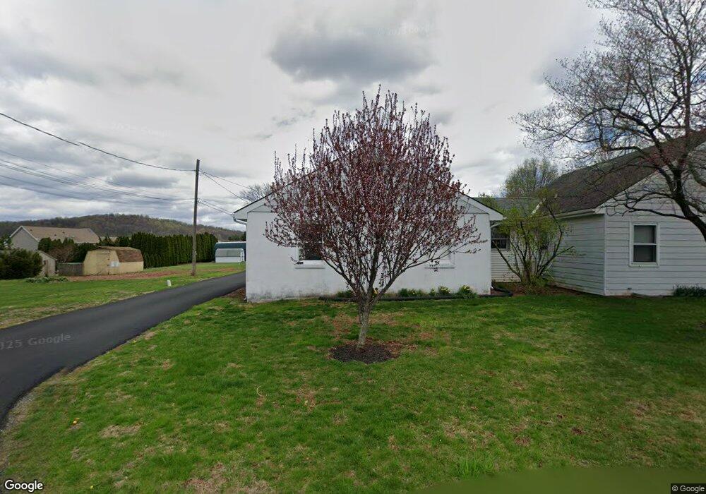
1294 Horning Rd Denver, PA 17517
Estimated Value: $439,000 - $525,000
4
Beds
2
Baths
2,280
Sq Ft
$208/Sq Ft
Est. Value
About This Home
This home is located at 1294 Horning Rd, Denver, PA 17517 and is currently estimated at $474,018, approximately $207 per square foot. 1294 Horning Rd is a home located in Lancaster County with nearby schools including Garden Spot Middle School, Garden Spot Senior High School, and Trostle Hill School.
Ownership History
Date
Name
Owned For
Owner Type
Purchase Details
Closed on
Apr 12, 2019
Sold by
Brubaker Marvin H
Bought by
Leid Michael S
Current Estimated Value
Home Financials for this Owner
Home Financials are based on the most recent Mortgage that was taken out on this home.
Original Mortgage
$270,000
Outstanding Balance
$237,137
Interest Rate
4.25%
Mortgage Type
Adjustable Rate Mortgage/ARM
Estimated Equity
$236,881
Purchase Details
Closed on
Sep 14, 2007
Sold by
Martin Raymond O and Martin Verna Z
Bought by
Brubaker Marvin H
Home Financials for this Owner
Home Financials are based on the most recent Mortgage that was taken out on this home.
Original Mortgage
$213,000
Interest Rate
6.63%
Mortgage Type
Purchase Money Mortgage
Create a Home Valuation Report for This Property
The Home Valuation Report is an in-depth analysis detailing your home's value as well as a comparison with similar homes in the area
Home Values in the Area
Average Home Value in this Area
Purchase History
| Date | Buyer | Sale Price | Title Company |
|---|---|---|---|
| Leid Michael S | $300,000 | None Available | |
| Brubaker Marvin H | $260,000 | None Available |
Source: Public Records
Mortgage History
| Date | Status | Borrower | Loan Amount |
|---|---|---|---|
| Open | Leid Michael S | $270,000 | |
| Previous Owner | Brubaker Marvin H | $213,000 |
Source: Public Records
Tax History Compared to Growth
Tax History
| Year | Tax Paid | Tax Assessment Tax Assessment Total Assessment is a certain percentage of the fair market value that is determined by local assessors to be the total taxable value of land and additions on the property. | Land | Improvement |
|---|---|---|---|---|
| 2025 | $4,063 | $236,100 | $82,300 | $153,800 |
| 2024 | $4,063 | $236,100 | $82,300 | $153,800 |
| 2023 | $3,980 | $236,100 | $82,300 | $153,800 |
| 2022 | $3,912 | $236,100 | $82,300 | $153,800 |
| 2021 | $3,716 | $236,100 | $82,300 | $153,800 |
| 2020 | $3,716 | $236,100 | $82,300 | $153,800 |
| 2019 | $3,672 | $236,100 | $82,300 | $153,800 |
| 2018 | $5,848 | $236,100 | $82,300 | $153,800 |
| 2017 | $3,590 | $188,500 | $46,600 | $141,900 |
| 2016 | $3,590 | $188,500 | $46,600 | $141,900 |
| 2015 | $755 | $188,500 | $46,600 | $141,900 |
| 2014 | $2,717 | $188,500 | $46,600 | $141,900 |
Source: Public Records
Map
Nearby Homes
- 4 Eagle Cir
- 154 W Maple Grove Rd
- 114 Cedarwood Dr
- 1286 Reading Rd Unit 10000
- 1286 Reading Rd Unit 2500
- 139 Shalom Dr
- 01 W Valley Rd
- 1395 Bowmansville Rd Unit 40
- 256 W Valley Rd
- 346 Aplomado St
- 117 Hawk Valley Ln Unit 105
- Westbrooke Plan at Hawk Valley Estates
- Callahan Plan at Hawk Valley Estates
- Silverbrooke Plan at Hawk Valley Estates
- Wesley Plan at Hawk Valley Estates
- Bridgemont Plan at Hawk Valley Estates
- Logan Plan at Hawk Valley Estates
- Brookfield Plan at Hawk Valley Estates
- Kingston Plan at Hawk Valley Estates
- Berkley Plan at Hawk Valley Estates