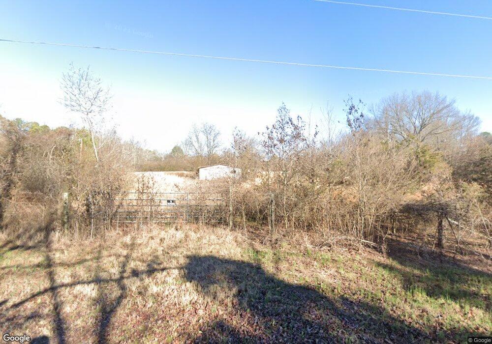
1294 Robin Rd Jacksonville, AR 72076
Estimated Value: $97,884 - $124,000
--
Bed
--
Bath
--
Sq Ft
1.46
Acres
About This Home
This home is located at 1294 Robin Rd, Jacksonville, AR 72076 and is currently estimated at $110,942. 1294 Robin Rd is a home located in Lonoke County with nearby schools including Murrell Taylor Elementary School, Jacksonville Middle School, and Jacksonville High School.
Ownership History
Date
Name
Owned For
Owner Type
Purchase Details
Closed on
May 6, 2005
Bought by
Potts
Current Estimated Value
Purchase Details
Closed on
Apr 26, 2005
Bought by
Potts
Purchase Details
Closed on
Feb 11, 1992
Bought by
Wilkins and Wife Sandra
Purchase Details
Closed on
Feb 3, 1992
Bought by
Loveless and Loveless Wife
Purchase Details
Closed on
Jan 7, 1992
Bought by
Loveless and Loveless Wife
Purchase Details
Closed on
May 21, 1991
Bought by
Pennington Several Lots
Create a Home Valuation Report for This Property
The Home Valuation Report is an in-depth analysis detailing your home's value as well as a comparison with similar homes in the area
Home Values in the Area
Average Home Value in this Area
Purchase History
| Date | Buyer | Sale Price | Title Company |
|---|---|---|---|
| Potts | $45,000 | -- | |
| Hambrick | -- | -- | |
| Potts | $45,000 | -- | |
| Hambrick | -- | -- | |
| Wilkins | $42,500 | -- | |
| Loveless | -- | -- | |
| Loveless | -- | -- | |
| Loveless | $5,000 | -- | |
| Pennington Several Lots | $100,000 | -- |
Source: Public Records
Tax History Compared to Growth
Tax History
| Year | Tax Paid | Tax Assessment Tax Assessment Total Assessment is a certain percentage of the fair market value that is determined by local assessors to be the total taxable value of land and additions on the property. | Land | Improvement |
|---|---|---|---|---|
| 2025 | $140 | $2,080 | $1,800 | $280 |
| 2024 | $140 | $2,080 | $1,800 | $280 |
| 2023 | $140 | $2,080 | $1,800 | $280 |
| 2022 | $140 | $2,080 | $1,800 | $280 |
| 2021 | $140 | $2,080 | $1,800 | $280 |
| 2020 | $142 | $2,120 | $1,800 | $320 |
| 2019 | $142 | $2,120 | $1,800 | $320 |
| 2018 | $142 | $2,120 | $1,800 | $320 |
| 2017 | $100 | $2,120 | $1,800 | $320 |
| 2016 | $142 | $2,120 | $1,800 | $320 |
| 2015 | $126 | $2,120 | $1,800 | $320 |
| 2014 | $126 | $2,120 | $1,800 | $320 |
Source: Public Records
Map
Nearby Homes
- 1375 Robin Rd
- 176 John Shelton Rd
- 189 Flowers Rd
- 923 Cole Dr
- 215 Williamson Blvd
- 2804 Arkansas 294
- 214 Lone Oak Dr
- 5821 Arkansas 294
- 224 and 262 Oak Grove Dr
- 2430 S Kerr Rd
- 00 Calvary Cir
- 1305 Glenn Rd
- 2209 Old Military Rd
- 2003 Old Military Rd
- 219 Lonsdale Cir
- 2923 Graham Rd
- 5704 Valentine Rd
- 1404 Southeastern Ave
- 813 Lehman Dr
- 404 S J P Wright Loop Rd
