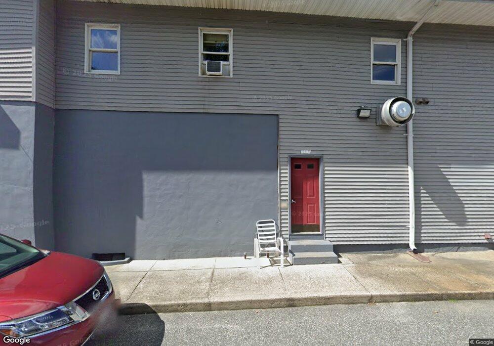
1294 S Main St Palmer, MA 01069
Estimated Value: $869,071
2
Beds
2
Baths
12,544
Sq Ft
$69/Sq Ft
Est. Value
About This Home
This home is located at 1294 S Main St, Palmer, MA 01069 and is currently estimated at $869,071, approximately $69 per square foot. 1294 S Main St is a home located in Hampden County with nearby schools including Old Mill Pond Elementary School, Converse Middle School, and Palmer High School.
Ownership History
Date
Name
Owned For
Owner Type
Purchase Details
Closed on
Aug 13, 2004
Sold by
Parsons Alan J and Parsons Tina L
Bought by
Lamothe Blake E
Current Estimated Value
Home Financials for this Owner
Home Financials are based on the most recent Mortgage that was taken out on this home.
Original Mortgage
$321,300
Outstanding Balance
$158,746
Interest Rate
6.16%
Mortgage Type
Commercial
Estimated Equity
$710,325
Purchase Details
Closed on
Mar 7, 1997
Sold by
Monson Sb
Bought by
Parsons Alan J
Home Financials for this Owner
Home Financials are based on the most recent Mortgage that was taken out on this home.
Original Mortgage
$165,000
Interest Rate
7.77%
Mortgage Type
Commercial
Purchase Details
Closed on
Sep 25, 1996
Sold by
Beaulieu Gerald E
Bought by
Monson Sb
Purchase Details
Closed on
Aug 12, 1992
Sold by
Mjg Properties Inc
Bought by
Beaulieu Gerald E
Create a Home Valuation Report for This Property
The Home Valuation Report is an in-depth analysis detailing your home's value as well as a comparison with similar homes in the area
Home Values in the Area
Average Home Value in this Area
Purchase History
| Date | Buyer | Sale Price | Title Company |
|---|---|---|---|
| Lamothe Blake E | $420,000 | -- | |
| Lamothe Blake E | $420,000 | -- | |
| Parsons Alan J | $195,000 | -- | |
| Parsons Alan J | $195,000 | -- | |
| Monson Sb | $170,000 | -- | |
| Beaulieu Gerald E | $85,000 | -- |
Source: Public Records
Mortgage History
| Date | Status | Borrower | Loan Amount |
|---|---|---|---|
| Open | Lamothe Blake E | $321,300 | |
| Closed | Beaulieu Gerald E | $321,300 | |
| Previous Owner | Beaulieu Gerald E | $31,000 | |
| Previous Owner | Beaulieu Gerald E | $165,000 |
Source: Public Records
Tax History Compared to Growth
Tax History
| Year | Tax Paid | Tax Assessment Tax Assessment Total Assessment is a certain percentage of the fair market value that is determined by local assessors to be the total taxable value of land and additions on the property. | Land | Improvement |
|---|---|---|---|---|
| 2025 | $7,084 | $390,300 | $148,200 | $242,100 |
| 2024 | $6,712 | $359,500 | $138,800 | $220,700 |
| 2023 | $6,600 | $339,500 | $138,800 | $200,700 |
| 2022 | $6,852 | $320,200 | $132,700 | $187,500 |
| 2021 | $2,634 | $322,100 | $142,000 | $180,100 |
| 2020 | $2,275 | $322,100 | $142,000 | $180,100 |
| 2019 | $7,131 | $322,100 | $142,000 | $180,100 |
| 2018 | $2,188 | $279,500 | $85,300 | $194,200 |
| 2017 | $6,029 | $279,500 | $85,300 | $194,200 |
| 2016 | $5,773 | $271,400 | $82,900 | $188,500 |
| 2015 | $5,599 | $271,400 | $82,900 | $188,500 |
Source: Public Records
Map
Nearby Homes
- 2034 Pleasant St
- 72 Quaboag Valley Co Op St Unit 70
- 1018-1020 Maple St
- 44 Converse St
- 160 Breckenridge St
- 207 Breckenridge St
- 11 Allen St
- L 65-35-1 Pine Hill Dr
- 0 St Unit 73414881
- 268 Palmer Rd Unit 59
- 268 Palmer Rd Unit 44
- 268 Palmer Rd Unit 27
- 268 Palmer Rd Unit 2
- Lot 0 Thorndike and Lawrence St
- 62-91 Lawrence St
- Lots 39-42 Lawrence
- Lot 8 Breckenridge St
- 1029 Wilson St
- 1415 Park St
- 0 Hovey Rd
- 1302 S Main St Unit 1
- 1302 S Main St Unit 4
- 1302 S Main St
- 1292 S Main St
- 1310 S Main St Unit 6
- 1310 S Main St Unit 4
- 1310 S Main St Unit 1
- 1290 S Main St Unit 1290
- 1309 S Main St
- 1289 S Main St
- 1311 S Main St Unit 1313
- 1282 S Main St Unit 1R
- 1282 S Main St Unit 1L
- 1282 S Main St Unit 2R
- 1282 S Main St
- 1287 S Main St
- 3 Church St
- 0 Main St Unit 72317072
- 0 Main St Unit 72428959
- 1001 Church St