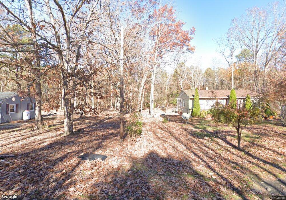
1294 Shreveport Ave Mays Landing, NJ 08330
Estimated Value: $230,000 - $264,000
--
Bed
--
Bath
1,000
Sq Ft
$242/Sq Ft
Est. Value
About This Home
This home is located at 1294 Shreveport Ave, Mays Landing, NJ 08330 and is currently estimated at $241,770, approximately $241 per square foot. 1294 Shreveport Ave is a home located in Atlantic County with nearby schools including Joseph Shaner School, George L. Hess Educational Complex, and William Davies Middle School.
Ownership History
Date
Name
Owned For
Owner Type
Purchase Details
Closed on
Jul 16, 2004
Sold by
Spivey Warren S and Spivey Lisa K
Bought by
Torres Maryanne
Current Estimated Value
Home Financials for this Owner
Home Financials are based on the most recent Mortgage that was taken out on this home.
Original Mortgage
$123,028
Outstanding Balance
$61,267
Interest Rate
6.28%
Mortgage Type
FHA
Estimated Equity
$180,503
Purchase Details
Closed on
Jan 18, 2000
Sold by
Rosenthal Henry E and Rosenthal Lori M
Bought by
Spivey Warren S and Spivey Lisa K
Home Financials for this Owner
Home Financials are based on the most recent Mortgage that was taken out on this home.
Original Mortgage
$57,026
Interest Rate
7.98%
Mortgage Type
VA
Create a Home Valuation Report for This Property
The Home Valuation Report is an in-depth analysis detailing your home's value as well as a comparison with similar homes in the area
Home Values in the Area
Average Home Value in this Area
Purchase History
| Date | Buyer | Sale Price | Title Company |
|---|---|---|---|
| Torres Maryanne | $124,000 | Landis Title Corporation | |
| Spivey Warren S | $55,500 | Fidelity National Title |
Source: Public Records
Mortgage History
| Date | Status | Borrower | Loan Amount |
|---|---|---|---|
| Open | Torres Maryanne | $123,028 | |
| Previous Owner | Spivey Warren S | $57,026 |
Source: Public Records
Tax History Compared to Growth
Tax History
| Year | Tax Paid | Tax Assessment Tax Assessment Total Assessment is a certain percentage of the fair market value that is determined by local assessors to be the total taxable value of land and additions on the property. | Land | Improvement |
|---|---|---|---|---|
| 2025 | $3,211 | $93,600 | $27,100 | $66,500 |
| 2024 | $3,211 | $93,600 | $27,100 | $66,500 |
| 2023 | $3,020 | $93,600 | $27,100 | $66,500 |
| 2022 | $3,020 | $93,600 | $27,100 | $66,500 |
| 2021 | $3,013 | $93,600 | $27,100 | $66,500 |
| 2020 | $3,013 | $93,600 | $27,100 | $66,500 |
| 2019 | $3,020 | $93,600 | $27,100 | $66,500 |
| 2018 | $2,915 | $93,600 | $27,100 | $66,500 |
| 2017 | $2,869 | $93,600 | $27,100 | $66,500 |
| 2016 | $2,788 | $93,600 | $27,100 | $66,500 |
| 2015 | $2,694 | $93,600 | $27,100 | $66,500 |
| 2014 | $2,748 | $104,600 | $32,600 | $72,000 |
Source: Public Records
Map
Nearby Homes
- 6917 Market St
- 1362 Annapolis Ave
- 1368 Sitka Ave
- 0 San Francisco Ave
- 6422 Strand Ave
- 6414 Strand Ave
- 0 0 Strand Ave
- 0 St Petersburg Ave Unit NJAC2011842
- 0 St Petersburg Ave Unit NJAC2011840
- 1516 Thirty Third St
- 0 Division Ave
- 328 Llewellyn Ave
- 6839 Harding Hwy
- 968 Main Ave
- 1306 Harding Hwy
- 5485 Landis Ave
- 0 Prep St
- 4401 Block 01 Lot Prep St
- 127 Fir Ave
- 0 Railroad Blvd
- 1282 Shreveport Ave
- 1291 Buffalo Ave
- 1287 Buffalo Ave
- 1280 Albany Ave
- 1271 Albany Ave
- 1277 Buffalo Ave
- 6942 Fulton Ave
- 1271 Buffalo Ave
- 1257 Albany Ave
- 1314 Nashville Ave
- 1314 Nashville St
- 1317 Atlanta Ave
- 1273 Trenton Ave
- 1255 Buffalo Ave
- 1317 Nashville St
- 1285 Mount Vernon Ave
- 7006 Fulton Ave
- 1324 Nashville St
- 1261 Scranton Ave
- 0 Washington Ave