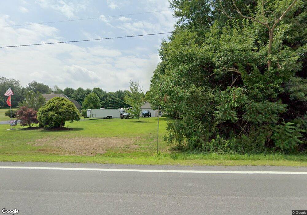
12945 State Route 44 Mantua, OH 44255
Estimated Value: $303,000 - $430,000
3
Beds
3
Baths
1,976
Sq Ft
$178/Sq Ft
Est. Value
About This Home
This home is located at 12945 State Route 44, Mantua, OH 44255 and is currently estimated at $351,934, approximately $178 per square foot. 12945 State Route 44 is a home located in Portage County with nearby schools including Crestwood Primary School, Crestwood Intermediate School, and Crestwood Middle School.
Ownership History
Date
Name
Owned For
Owner Type
Purchase Details
Closed on
Feb 20, 2018
Sold by
Velek Michael J and Velek Beth A
Bought by
Velek Michael J and Velek Family Trt
Current Estimated Value
Purchase Details
Closed on
Jul 29, 1999
Sold by
Briscar Ambrose J and Briscar Irene R
Bought by
Velek Michael J and Velek Beth A
Home Financials for this Owner
Home Financials are based on the most recent Mortgage that was taken out on this home.
Original Mortgage
$110,400
Outstanding Balance
$36,151
Interest Rate
7.69%
Estimated Equity
$315,783
Purchase Details
Closed on
Apr 12, 1988
Bought by
Briscar Ambrose J
Create a Home Valuation Report for This Property
The Home Valuation Report is an in-depth analysis detailing your home's value as well as a comparison with similar homes in the area
Home Values in the Area
Average Home Value in this Area
Purchase History
| Date | Buyer | Sale Price | Title Company |
|---|---|---|---|
| Velek Michael J | -- | None Available | |
| Velek Michael J | $38,000 | Ohio Title Agency | |
| Briscar Ambrose J | -- | -- |
Source: Public Records
Mortgage History
| Date | Status | Borrower | Loan Amount |
|---|---|---|---|
| Open | Velek Michael J | $110,400 | |
| Closed | Velek Michael J | $17,600 |
Source: Public Records
Tax History Compared to Growth
Tax History
| Year | Tax Paid | Tax Assessment Tax Assessment Total Assessment is a certain percentage of the fair market value that is determined by local assessors to be the total taxable value of land and additions on the property. | Land | Improvement |
|---|---|---|---|---|
| 2024 | $5,026 | $128,030 | $14,700 | $113,330 |
| 2023 | $4,122 | $95,270 | $13,650 | $81,620 |
| 2022 | $4,167 | $95,270 | $13,650 | $81,620 |
| 2021 | $4,206 | $95,270 | $13,650 | $81,620 |
| 2020 | $3,812 | $81,590 | $12,990 | $68,600 |
| 2019 | $3,762 | $81,590 | $12,990 | $68,600 |
| 2018 | $3,692 | $76,660 | $12,500 | $64,160 |
| 2017 | $3,692 | $76,660 | $12,500 | $64,160 |
| 2016 | $3,682 | $76,660 | $12,500 | $64,160 |
| 2015 | $3,689 | $76,660 | $12,500 | $64,160 |
| 2014 | $3,589 | $73,020 | $12,500 | $60,520 |
| 2013 | $3,552 | $73,020 | $12,500 | $60,520 |
Source: Public Records
Map
Nearby Homes
- 18420 May Ct
- 12167 Mantua Center Rd
- 11945 Ladue Trail
- 3444 Winchell Rd
- 11830 Starbush Ct
- 18400 Shaw Rd
- 12845 Vincent Dr
- 11470 Bowen Rd
- 11611 E Washington St
- 0 Bartholomew Rd Unit 21957397
- 4791 Pioneer Trail
- 12298 Chamberlain Rd
- 30 Cardinal Dr
- 4620 Pioneer Trail
- 151 Oaktree Ln
- 142 Oaktree Ln
- 11131 State Route 44
- 4364 Pioneer Trail
- 9836 Cleveland Dr
- 19109 Tilden Rd
- 12981 State Route 44
- 12988 State Route 44
- 12915 State Route 44
- 12998 State Route 44
- 4705 Foxhall Ct
- 4627 Winchell Rd
- 4700 Foxhall Ct
- 4609 Winchell Rd
- 3 Foxhall Ct Unit 3
- 1 Foxhall Ct
- 13031 State Route 44
- 4719 Foxhall Ct
- 4714 Foxhall Ct
- 4591 Winchell Rd
- 13046 State Route 44
- 12941 W Point Dr
- 12963 W Point Dr
- 12876 State Route 44
- 4730 Foxhall Ct
- 12925 W Point Dr
