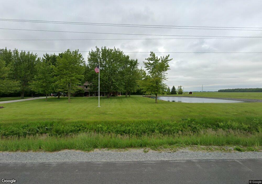
12946 Road 87 Paulding, OH 45879
Estimated Value: $251,000 - $289,880
3
Beds
2
Baths
2,220
Sq Ft
$122/Sq Ft
Est. Value
About This Home
This home is located at 12946 Road 87, Paulding, OH 45879 and is currently estimated at $270,440, approximately $121 per square foot. 12946 Road 87 is a home located in Paulding County with nearby schools including Paulding High School.
Ownership History
Date
Name
Owned For
Owner Type
Purchase Details
Closed on
Jul 25, 2024
Sold by
Schroeder B Charles B and Schroeder Deanna M
Bought by
Cnds Irrevocable Trust and Schroeder
Current Estimated Value
Purchase Details
Closed on
Oct 25, 2013
Sold by
Schroeder Deanna M and Schroeder Charles B
Bought by
Schroeder Deanna M and Schroeder Revocable L Deanna M
Purchase Details
Closed on
Mar 10, 2006
Sold by
Grindstaff Deanna M
Bought by
Stoller Donald R and Stoller Gail A
Purchase Details
Closed on
Sep 27, 2002
Sold by
Grindstaff Alan F
Bought by
Schroeder Deanna M Trustee
Purchase Details
Closed on
Aug 15, 1985
Bought by
Schroeder Deanna M Trustee
Create a Home Valuation Report for This Property
The Home Valuation Report is an in-depth analysis detailing your home's value as well as a comparison with similar homes in the area
Home Values in the Area
Average Home Value in this Area
Purchase History
| Date | Buyer | Sale Price | Title Company |
|---|---|---|---|
| Cnds Irrevocable Trust | -- | None Listed On Document | |
| Schroeder Deanna M | -- | None Available | |
| Stoller Donald R | $3,300 | None Available | |
| Schroeder Deanna M Trustee | -- | -- | |
| Schroeder Deanna M Trustee | $10,000 | -- |
Source: Public Records
Tax History Compared to Growth
Tax History
| Year | Tax Paid | Tax Assessment Tax Assessment Total Assessment is a certain percentage of the fair market value that is determined by local assessors to be the total taxable value of land and additions on the property. | Land | Improvement |
|---|---|---|---|---|
| 2024 | $2,378 | $69,060 | $14,320 | $54,740 |
| 2023 | $2,378 | $69,060 | $14,320 | $54,740 |
| 2022 | $2,366 | $69,060 | $14,320 | $54,740 |
| 2021 | $2,022 | $55,620 | $12,990 | $42,630 |
| 2020 | $2,090 | $55,620 | $12,990 | $42,630 |
| 2019 | $2,109 | $51,740 | $12,990 | $38,750 |
| 2018 | $1,979 | $51,740 | $12,990 | $38,750 |
| 2017 | $1,981 | $51,740 | $12,990 | $38,750 |
| 2016 | $1,982 | $51,740 | $12,990 | $38,750 |
| 2015 | $1,843 | $48,830 | $11,800 | $37,030 |
| 2014 | $1,831 | $48,830 | $11,800 | $37,030 |
| 2013 | $2,019 | $48,830 | $11,800 | $37,030 |
Source: Public Records
Map
Nearby Homes
- 907 Country View Dr
- 15041 Road 83
- 752 N Dix St
- 720 W Perry St
- 215 N Dewitt St
- 614 W Jackson St
- 717 W Harrison St
- Tract 2 - 0000 Ohio 111
- 0000 Ohio 111
- 720 W Wayne St
- 629 Airport Rd
- 606 Lincoln Ave
- 1051 Emerald Rd
- 1065 Emerald Rd
- 1045 Emerald Rd
- 13120 Helen St
- 418 E Baldwin St
- 300 S Williams St
- 15010 U S 127
- 825 Johnson Rd