1295 Collinstown Rd Stuart, VA 24171
Estimated Value: $241,914 - $344,000
Studio
--
Bath
--
Sq Ft
618,726
Sq Ft Lot
About This Home
This home is located at 1295 Collinstown Rd, Stuart, VA 24171 and is currently estimated at $293,229. 1295 Collinstown Rd is a home located in Patrick County with nearby schools including Patrick County High School.
Ownership History
Date
Name
Owned For
Owner Type
Purchase Details
Closed on
May 9, 2024
Sold by
Oakley Roger W and Oakley Patricia H
Bought by
Fain Lydia Suzanne and Fain Michael Ray
Current Estimated Value
Create a Home Valuation Report for This Property
The Home Valuation Report is an in-depth analysis detailing your home's value as well as a comparison with similar homes in the area
Purchase History
| Date | Buyer | Sale Price | Title Company |
|---|---|---|---|
| Fain Lydia Suzanne | -- | None Listed On Document |
Source: Public Records
Tax History
| Year | Tax Paid | Tax Assessment Tax Assessment Total Assessment is a certain percentage of the fair market value that is determined by local assessors to be the total taxable value of land and additions on the property. | Land | Improvement |
|---|---|---|---|---|
| 2025 | $1,061 | $145,300 | $39,700 | $105,600 |
| 2024 | $1,121 | $153,600 | $41,800 | $111,800 |
| 2023 | $1,121 | $153,600 | $41,800 | $111,800 |
| 2022 | $1,121 | $153,600 | $41,800 | $111,800 |
| 2021 | $1,044 | $153,600 | $41,800 | $111,800 |
| 2020 | $1,042 | $153,200 | $41,800 | $111,400 |
| 2019 | $1,042 | $153,200 | $41,800 | $111,400 |
| 2018 | $873 | $153,200 | $41,800 | $111,400 |
| 2017 | -- | $153,200 | $41,800 | $111,400 |
| 2016 | $873 | $153,200 | $41,800 | $111,400 |
| 2015 | -- | $153,200 | $41,800 | $111,400 |
| 2014 | -- | $161,500 | $44,800 | $116,700 |
Source: Public Records
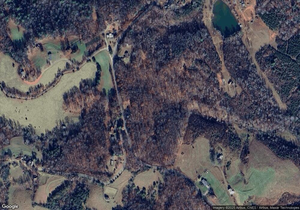
Map
Nearby Homes
- 124 Collinstown Rd
- 000 Willard Creek Ln
- 0 Willard Creek Ln
- 345 Pinecrest Ln
- 241 Beasley Hollow Ln
- 1433 Gray Circle Rd
- 1895 Creasey Chapel Rd
- 24 Robertson Dr
- 1163 Mills Rd
- 00 Hatchers Chapel Rd
- TBD Mitchells Mill Rd
- 23 Mills School Rd
- 3310 Creasey Chapel Rd
- 3737 Nc Highway 704 W
- 3767 Nc Highway 704 W
- 11830 Ararat Hwy
- 1065 Dallas King Rd
- 2950 Claudville Hwy
- 2872 Salem Hwy
- 1284-1516 Tom Mix Rd Unit 95.93 +/- Ac Tract
- 1274 Collinstown Rd
- 1274 Collinstown Rd
- 1405 Collinstown Rd
- 1135 Collinstown Rd
- 1278 Collinstown Rd
- 1156 Collinstown Rd
- 1430 Collinstown Rd
- 1853 Brushy Mountain Rd
- 1075 Collinstown Rd
- 1799 Brushy Mountain Rd
- 1053 Collinstown Rd
- 1587 Brushy Mountain Rd
- 954 Collinstown Rd
- 1005 Collinstown Rd
- 1276 Collinstown Rd
- 1280 Collinstown Rd
- 1728 Collinstown Rd
- 857 Collinstown Rd
- 857 Collinstown Rd
- 1798 Collinstown Rd
Your Personal Tour Guide
Ask me questions while you tour the home.