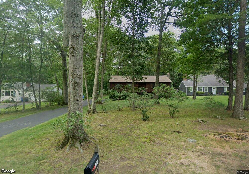
1295 Dunbar Hill Rd Hamden, CT 06514
Estimated Value: $390,000 - $441,000
About This Home
This home is located at 1295 Dunbar Hill Rd, Hamden, CT 06514 and is currently estimated at $407,550, approximately $244 per square foot. 1295 Dunbar Hill Rd is a home located in New Haven County with nearby schools including Hamden Middle School, Hamden High School, and Laurel Oaks Adventist School.
Ownership History
We collect this data history from publicly available records. To have your information removed, we recommend requesting removal directly through your county’s website.
Purchase Details
Home Values in the Area
Average Home Value in this Area
Purchase History
We collect this data history from publicly available records. To have your information removed, we recommend requesting removal directly through your county’s website.
| Date | Buyer | Sale Price | Title Company |
|---|---|---|---|
| -- | -- |
Mortgage History
We collect this data history from publicly available records. To have your information removed, we recommend requesting removal directly through your county’s website.
| Date | Status | Borrower | Loan Amount |
|---|---|---|---|
| Open | $40,000 | ||
| Closed | $16,500 | ||
| Open | $230,987 |
Tax History
We collect this data history from publicly available records. To have your information removed, we recommend requesting removal directly through your county’s website.
| Year | Tax Paid | Tax Assessment Tax Assessment Total Assessment is a certain percentage of the fair market value that is determined by local assessors to be the total taxable value of land and additions on the property. | Land | Improvement |
|---|---|---|---|---|
| 2025 | $12,329 | $237,650 | $70,560 | $167,090 |
| 2024 | $8,564 | $154,000 | $49,070 | $104,930 |
| 2023 | $8,683 | $154,000 | $49,070 | $104,930 |
| 2022 | $8,544 | $154,000 | $49,070 | $104,930 |
| 2021 | $8,076 | $154,000 | $49,070 | $104,930 |
| 2020 | $7,921 | $152,390 | $74,900 | $77,490 |
| 2019 | $7,446 | $152,390 | $74,900 | $77,490 |
| 2018 | $7,309 | $152,390 | $74,900 | $77,490 |
| 2017 | $6,897 | $152,390 | $74,900 | $77,490 |
| 2016 | $6,912 | $152,390 | $74,900 | $77,490 |
| 2015 | $6,368 | $155,820 | $71,890 | $83,930 |
| 2014 | $6,222 | $155,820 | $71,890 | $83,930 |
Map
- 36 Norman Rd
- 1208 Dunbar Hill Rd
- 1085 Dunbar Hill Rd
- 1044 Dunbar Hill Rd
- 202 Hill St
- 975 Main St
- 435 W Shepard Ave
- 360 W Shepard Ave
- 810 Dunbar Hill Rd
- 151 Bear Path Rd
- 64 Kirk Rd
- 68 Earl Ave
- 1600 Sherman Ave
- 90 Brook Hill Rd
- 701 Main St
- 737 Shepard Ave
- 491 Shepard Ave
- 430 Shepard Ave
- 15 Farm Brook Ct
- 55 Canterbury Rd
- 1315 Dunbar Hill Rd
- 1285 Dunbar Hill Rd
- 1265 Dunbar Hill Rd
- 1319 Dunbar Hill Rd
- 1300 Dunbar Hill Rd
- 1250 Dunbar Hill Rd
- 1341 Dunbar Hill Rd
- 1314 Dunbar Hill Rd
- 1245 Dunbar Hill Rd
- 1345 Dunbar Hill Rd
- 1235 Dunbar Hill Rd
- 1355 Dunbar Hill Rd
- 56 Norman Rd
- 46 Norman Rd
- 66 Norman Rd
- 1244 Dunbar Hill Rd
- 76 Norman Rd
- 1233 Dunbar Hill Rd
- 1391 Dunbar Hill Rd
- 1234 Dunbar Hill Rd
Ask me questions while you tour the home.