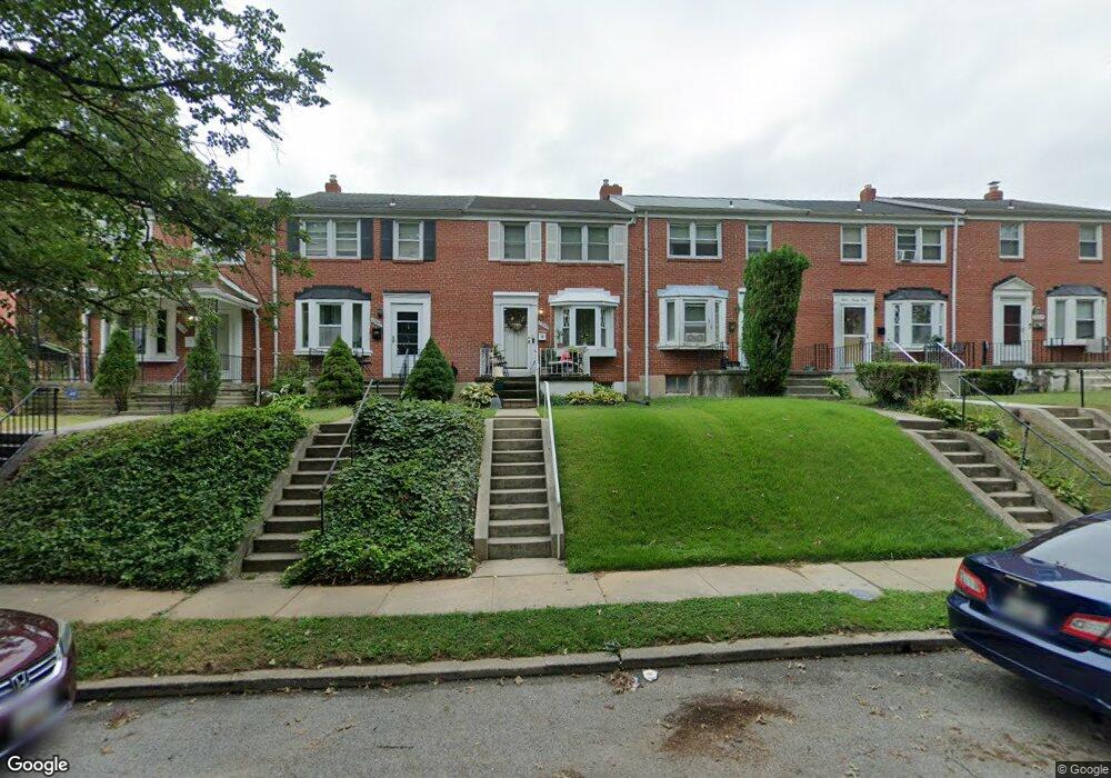
1295 Limit Ave Baltimore, MD 21239
Idlewood NeighborhoodEstimated Value: $170,000 - $184,423
Studio
2
Baths
1,008
Sq Ft
$176/Sq Ft
Est. Value
About This Home
This home is located at 1295 Limit Ave, Baltimore, MD 21239 and is currently estimated at $177,212, approximately $175 per square foot. 1295 Limit Ave is a home located in Baltimore City with nearby schools including Leith Walk Elementary School, Booker T. Washington Middle School, and Paul Laurence Dunbar High School.
Ownership History
Date
Name
Owned For
Owner Type
Purchase Details
Closed on
Oct 21, 2021
Sold by
Coleman Jeffery W
Bought by
Coleman Jeffery W
Current Estimated Value
Purchase Details
Closed on
Jul 19, 2004
Sold by
Speaker Gwendolyn E
Bought by
Coleman Gloria M
Purchase Details
Closed on
Jun 30, 2004
Sold by
Speaker Gwendolyn E
Bought by
Coleman Gloria M
Purchase Details
Closed on
Nov 26, 2001
Sold by
Santos Gerardo J
Bought by
Speaker Gwendolyn E and Atkins Lula
Create a Home Valuation Report for This Property
The Home Valuation Report is an in-depth analysis detailing your home's value as well as a comparison with similar homes in the area
Home Values in the Area
Average Home Value in this Area
Purchase History
| Date | Buyer | Sale Price | Title Company |
|---|---|---|---|
| Coleman Jeffery W | -- | Ward Cathleen F | |
| Coleman Gloria M | $89,900 | -- | |
| Coleman Gloria M | $89,900 | -- | |
| Speaker Gwendolyn E | $72,500 | -- |
Source: Public Records
Tax History
| Year | Tax Paid | Tax Assessment Tax Assessment Total Assessment is a certain percentage of the fair market value that is determined by local assessors to be the total taxable value of land and additions on the property. | Land | Improvement |
|---|---|---|---|---|
| 2025 | $2,720 | $126,133 | -- | -- |
| 2024 | $2,720 | $115,800 | $30,000 | $85,800 |
| 2023 | $2,692 | $114,600 | $0 | $0 |
| 2022 | $2,676 | $113,400 | $0 | $0 |
| 2021 | $2,648 | $112,200 | $30,000 | $82,200 |
| 2020 | $2,326 | $108,433 | $0 | $0 |
| 2019 | $2,226 | $104,667 | $0 | $0 |
| 2018 | $2,204 | $100,900 | $30,000 | $70,900 |
| 2017 | $2,227 | $100,900 | $0 | $0 |
| 2016 | $2,048 | $100,900 | $0 | $0 |
| 2015 | $2,048 | $106,900 | $0 | $0 |
| 2014 | $2,048 | $106,900 | $0 | $0 |
Source: Public Records
Map
Nearby Homes
- 1322 Limit Ave
- 1283 Cedarcroft Rd
- 1206 Cedarcroft Rd
- 6504 Crestwood Rd
- 1117 Walker Ave
- 1400 Walker Ave
- 6225 Chinquapin Pkwy
- 1101 Gittings Ave
- 1432 Walker Ave
- 6138 Dunroming Rd
- 1371 E Northern Pkwy
- 6114 Macbeth Dr
- 806 Forest Rd
- 6702 Queens Ferry Rd
- 5933 Leith Walk
- 722 Anneslie Rd
- 6580 Loch Raven Blvd
- 6750 Glenkirk Rd
- 1123 Elbank Ave
- 5814 The Alameda
- 1297 Limit Ave
- 1293 Limit Ave
- 1291 Limit Ave
- 1299 Limit Ave
- 1289 Limit Ave
- 1301 Limit Ave
- 1287 Limit Ave
- 1303 Limit Ave
- 1305 Limit Ave
- 1285 Limit Ave
- 1284 Walker Ave
- 1286 Walker Ave
- 1282 Walker Ave
- 1283 Limit Ave
- 1307 Limit Ave
- 1288 Walker Ave
- 1280 Walker Ave
- 1290 Walker Ave
- 1278 Walker Ave
- 1309 Limit Ave
Your Personal Tour Guide
Ask me questions while you tour the home.