1295 Log Hollow Point Colorado Springs, CO 80906
Broadmoor Resort Community NeighborhoodEstimated Value: $816,000 - $938,000
3
Beds
4
Baths
3,299
Sq Ft
$258/Sq Ft
Est. Value
About This Home
This home is located at 1295 Log Hollow Point, Colorado Springs, CO 80906 and is currently estimated at $852,293, approximately $258 per square foot. 1295 Log Hollow Point is a home located in El Paso County with nearby schools including Cheyenne Mountain Elementary School, Cheyenne Mountain Junior High School, and Cheyenne Mountain High School.
Ownership History
Date
Name
Owned For
Owner Type
Purchase Details
Closed on
Oct 29, 2025
Sold by
Trudi Pruett Revocable Trust and Pruett Trudi
Bought by
Pruett Trudi
Current Estimated Value
Home Financials for this Owner
Home Financials are based on the most recent Mortgage that was taken out on this home.
Original Mortgage
$387,000
Outstanding Balance
$387,000
Interest Rate
6.26%
Mortgage Type
New Conventional
Estimated Equity
$465,293
Purchase Details
Closed on
Aug 2, 2024
Sold by
Pruett Nicolas R and Pruett Trudi
Bought by
Nicolas R Pruett Revocable Trust and Trudi Pruett Revocable Trust
Home Financials for this Owner
Home Financials are based on the most recent Mortgage that was taken out on this home.
Original Mortgage
$550,000
Interest Rate
6.95%
Mortgage Type
New Conventional
Purchase Details
Closed on
Jul 29, 2024
Sold by
Nicolas R Pruett Revocable Trust and Trudi Pruett Revocable Trust
Bought by
Pruett Nicolas R and Pruett Trudi
Home Financials for this Owner
Home Financials are based on the most recent Mortgage that was taken out on this home.
Original Mortgage
$550,000
Interest Rate
6.95%
Mortgage Type
New Conventional
Purchase Details
Closed on
Oct 29, 2023
Sold by
Pruett Trudi
Bought by
Trudi Pruett Revocable Trust and Pruett
Purchase Details
Closed on
Jun 2, 2023
Sold by
Pruett Nicolas R
Bought by
Nicolas R Pruett Revocable Trust
Purchase Details
Closed on
May 5, 2017
Sold by
Polo Kathleen B and Polo James A
Bought by
Pruett Nicolas R and Pruett Trudilouise
Home Financials for this Owner
Home Financials are based on the most recent Mortgage that was taken out on this home.
Original Mortgage
$465,000
Interest Rate
4.25%
Mortgage Type
Adjustable Rate Mortgage/ARM
Purchase Details
Closed on
Oct 5, 2006
Sold by
Brown Patricia I and Arnold Brown C
Bought by
Polo Kathleen B and Polo James A
Home Financials for this Owner
Home Financials are based on the most recent Mortgage that was taken out on this home.
Original Mortgage
$417,000
Interest Rate
6.44%
Mortgage Type
Unknown
Purchase Details
Closed on
Mar 29, 2002
Sold by
Brown C Arnold and Brown Patricia I
Bought by
Brown Patricia I and Arnold Brown C
Purchase Details
Closed on
Sep 4, 1997
Sold by
Cog Land & Development Company
Bought by
Brown C Arnold and Brown Pat I
Home Financials for this Owner
Home Financials are based on the most recent Mortgage that was taken out on this home.
Original Mortgage
$250,000
Interest Rate
7.34%
Create a Home Valuation Report for This Property
The Home Valuation Report is an in-depth analysis detailing your home's value as well as a comparison with similar homes in the area
Home Values in the Area
Average Home Value in this Area
Purchase History
| Date | Buyer | Sale Price | Title Company |
|---|---|---|---|
| Pruett Trudi | -- | None Listed On Document | |
| Nicolas R Pruett Revocable Trust | -- | None Listed On Document | |
| Pruett Nicolas R | -- | Stewart Title | |
| Trudi Pruett Revocable Trust | -- | None Listed On Document | |
| Nicolas R Pruett Revocable Trust | -- | None Listed On Document | |
| Pruett Nicolas R | $465,000 | Land Title Gurantee Co | |
| Polo Kathleen B | $590,000 | Security Title | |
| Brown Patricia I | -- | -- | |
| Brown C Arnold | $374,100 | Land Title |
Source: Public Records
Mortgage History
| Date | Status | Borrower | Loan Amount |
|---|---|---|---|
| Open | Pruett Trudi | $387,000 | |
| Previous Owner | Pruett Nicolas R | $550,000 | |
| Previous Owner | Pruett Nicolas R | $465,000 | |
| Previous Owner | Polo Kathleen B | $417,000 | |
| Previous Owner | Brown C Arnold | $250,000 |
Source: Public Records
Tax History Compared to Growth
Tax History
| Year | Tax Paid | Tax Assessment Tax Assessment Total Assessment is a certain percentage of the fair market value that is determined by local assessors to be the total taxable value of land and additions on the property. | Land | Improvement |
|---|---|---|---|---|
| 2025 | $3,284 | $59,870 | -- | -- |
| 2024 | $3,184 | $48,390 | $10,590 | $37,800 |
| 2023 | $3,184 | $48,390 | $10,590 | $37,800 |
| 2022 | $2,700 | $37,170 | $6,530 | $30,640 |
| 2021 | $2,847 | $38,240 | $6,720 | $31,520 |
| 2020 | $2,869 | $37,620 | $6,720 | $30,900 |
| 2019 | $2,838 | $37,620 | $6,720 | $30,900 |
| 2018 | $3,035 | $39,520 | $6,770 | $32,750 |
| 2017 | $3,023 | $39,520 | $6,770 | $32,750 |
| 2016 | $3,361 | $45,050 | $6,530 | $38,520 |
| 2015 | $3,354 | $45,050 | $6,530 | $38,520 |
| 2014 | $3,273 | $43,930 | $6,530 | $37,400 |
Source: Public Records
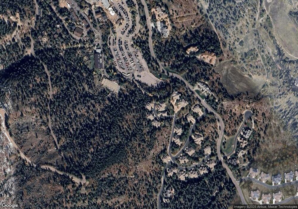
Map
Nearby Homes
- 4688 Stone Manor Heights
- 4875 Willow Stone Heights
- 920 Grey Mountain Point
- 104 Marland Rd S
- 3865 Hermitage Dr
- 0 Pine Ln Unit 9018973
- 1735 Pine Ln
- 583 Silver Oak Grove
- 260 Haversham Dr
- 667 Silver Oak Grove
- 455 Roxbury Cir
- 235 Haversham Dr
- 4935 Newstead Place
- 17 Midland Rd
- 526 Penrose Blvd
- 4365 Kincaid Ct
- 4490 Star Ranch Rd
- 3520 Sebastian Heights
- 4335 Kincaid Ct
- 250 Stonebeck Ln
- 1275 Log Hollow Point
- 1280 Log Hollow Point
- 1270 Log Hollow Point
- 1260 Log Hollow Point
- 1255 Log Hollow Point
- 1245 Log Hollow Point
- 4315 Carriage House View
- 4325 Carriage House View
- 4335 Carriage House View
- 4345 Carriage House View
- 4365 Carriage House View
- 4440 Governors Point
- 4375 Carriage House View
- 4430 Governors Point
- 4385 Carriage House View
- 4420 Governors Point
- 4395 Carriage House View
- 4410 Governors Point
- 4510 Governors Point
- 4520 Governors Point